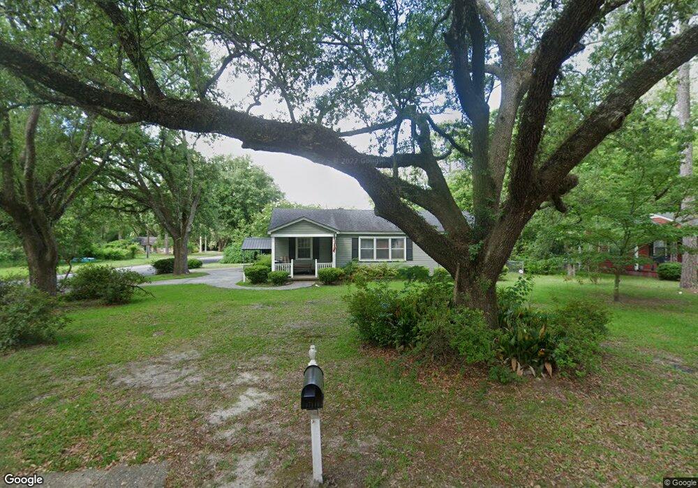
2001 N Harding St Albany, GA 31701
Rawson Park NeighborhoodEstimated Value: $86,000 - $110,000
3
Beds
1
Bath
1,148
Sq Ft
$86/Sq Ft
Est. Value
About This Home
This home is located at 2001 N Harding St, Albany, GA 31701 and is currently estimated at $98,534, approximately $85 per square foot. 2001 N Harding St is a home located in Dougherty County with nearby schools including Northside Elementary School, Albany Middle School, and Albany High School.
Ownership History
Date
Name
Owned For
Owner Type
Purchase Details
Closed on
Oct 9, 2014
Sold by
Carter Shirley Ann
Bought by
Rodman Joseph P and Rodman John
Current Estimated Value
Home Financials for this Owner
Home Financials are based on the most recent Mortgage that was taken out on this home.
Original Mortgage
$43,200
Outstanding Balance
$14,527
Interest Rate
4.15%
Mortgage Type
New Conventional
Estimated Equity
$84,007
Purchase Details
Closed on
Aug 19, 2009
Sold by
Carter James C
Bought by
Carter Shirley Ann
Purchase Details
Closed on
Feb 16, 1995
Sold by
Pye Donald L and Pye Laura H
Bought by
Carter Anna Taylor and Carter James C
Purchase Details
Closed on
Jan 1, 1963
Bought by
Pye Donald L
Create a Home Valuation Report for This Property
The Home Valuation Report is an in-depth analysis detailing your home's value as well as a comparison with similar homes in the area
Home Values in the Area
Average Home Value in this Area
Purchase History
| Date | Buyer | Sale Price | Title Company |
|---|---|---|---|
| Rodman Joseph P | $54,000 | -- | |
| Carter Shirley Ann | -- | -- | |
| Carter Anna Taylor | $20,000 | -- | |
| Pye Donald L | -- | -- |
Source: Public Records
Mortgage History
| Date | Status | Borrower | Loan Amount |
|---|---|---|---|
| Open | Rodman Joseph P | $43,200 |
Source: Public Records
Tax History Compared to Growth
Tax History
| Year | Tax Paid | Tax Assessment Tax Assessment Total Assessment is a certain percentage of the fair market value that is determined by local assessors to be the total taxable value of land and additions on the property. | Land | Improvement |
|---|---|---|---|---|
| 2024 | $1,303 | $27,320 | $7,200 | $20,120 |
| 2023 | $1,273 | $27,320 | $7,200 | $20,120 |
| 2022 | $1,278 | $27,320 | $7,200 | $20,120 |
| 2021 | $1,184 | $27,320 | $7,200 | $20,120 |
| 2020 | $1,187 | $27,320 | $7,200 | $20,120 |
| 2019 | $1,192 | $27,320 | $7,200 | $20,120 |
| 2018 | $1,197 | $27,320 | $7,200 | $20,120 |
| 2017 | $1,107 | $27,120 | $7,200 | $19,920 |
| 2016 | $1,107 | $27,120 | $7,200 | $19,920 |
| 2015 | $884 | $27,120 | $7,200 | $19,920 |
| 2014 | $1,016 | $27,120 | $7,200 | $19,920 |
Source: Public Records
Map
Nearby Homes
- 2027 N Harding St
- 900 10th Ave
- 1000 10th Ave
- 903 9th Ave
- 917 9th Ave
- 1739 Arlington Park Cir
- 1112 Whispering Pines Rd
- 723 10th Ave
- 1113 11th Ave
- 1200 13th Ave
- 1666 Arlington Park Cir
- 1648 Arlington Park Cir
- 714 9th Ave
- 1200 Sharon Dr
- 1640 Arlington Park Cir
- 1114 10th Ave
- 703 9th Ave
- 717 8th Ave
- 1203 Sharon Ave
- 913 7th Ave
- 2003 N Harding St
- 2005 N Harding St
- 1917 N Harding St
- 2007 N Harding St
- 1915 N Harding St
- 2004 Mcintosh Rd
- 2000 N Harding St
- 1916 Mcintosh Rd
- 2002 N Harding St
- 2009 N Harding St
- 2006 Mcintosh Rd
- 2004 N Harding St
- N N Harding St
- 1918 N Harding St
- 1913 N Harding St
- 1914 Mcintosh Rd
- 2006 N Harding St
- 2008 Mcintosh Rd
- 2011 N Harding St
- 1916 N Harding St