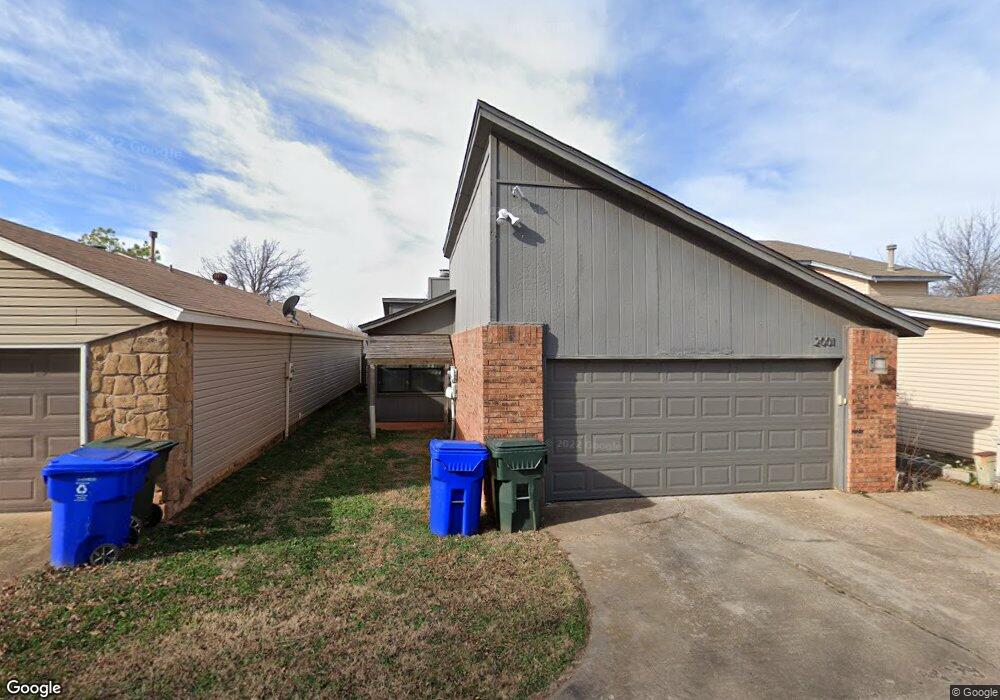
2001 Oakhurst Ave Norman, OK 73071
Southeast Norman NeighborhoodEstimated Value: $125,000 - $165,000
3
Beds
2
Baths
1,120
Sq Ft
$130/Sq Ft
Est. Value
About This Home
This home is located at 2001 Oakhurst Ave, Norman, OK 73071 and is currently estimated at $145,746, approximately $130 per square foot. 2001 Oakhurst Ave is a home located in Cleveland County with nearby schools including Ronald Reagan Elementary School, Irving Middle School, and Norman High School.
Ownership History
Date
Name
Owned For
Owner Type
Purchase Details
Closed on
Jan 7, 2025
Sold by
Cottrell Kyle D and Grassie Stephen R
Bought by
Moore Cody W and Moore Jessica
Current Estimated Value
Home Financials for this Owner
Home Financials are based on the most recent Mortgage that was taken out on this home.
Original Mortgage
$114,000
Outstanding Balance
$112,665
Interest Rate
6.69%
Mortgage Type
New Conventional
Estimated Equity
$33,081
Purchase Details
Closed on
Jun 30, 2011
Sold by
T L Moore Trust
Bought by
Cottrell Kyle D
Home Financials for this Owner
Home Financials are based on the most recent Mortgage that was taken out on this home.
Original Mortgage
$96,000
Interest Rate
4.66%
Mortgage Type
Purchase Money Mortgage
Purchase Details
Closed on
Jul 9, 2009
Sold by
Moore Lloyd Wayne and Moore Toni Gale
Bought by
T L Moore Trust
Create a Home Valuation Report for This Property
The Home Valuation Report is an in-depth analysis detailing your home's value as well as a comparison with similar homes in the area
Home Values in the Area
Average Home Value in this Area
Purchase History
| Date | Buyer | Sale Price | Title Company |
|---|---|---|---|
| Moore Cody W | $120,000 | First American Title | |
| Moore Cody W | $120,000 | First American Title | |
| Cottrell Kyle D | $96,000 | None Available | |
| T L Moore Trust | -- | None Available |
Source: Public Records
Mortgage History
| Date | Status | Borrower | Loan Amount |
|---|---|---|---|
| Open | Moore Cody W | $114,000 | |
| Closed | Moore Cody W | $114,000 | |
| Previous Owner | Cottrell Kyle D | $96,000 |
Source: Public Records
Tax History
| Year | Tax Paid | Tax Assessment Tax Assessment Total Assessment is a certain percentage of the fair market value that is determined by local assessors to be the total taxable value of land and additions on the property. | Land | Improvement |
|---|---|---|---|---|
| 2025 | $1,451 | $12,088 | $2,691 | $9,397 |
| 2024 | $1,380 | $11,513 | $2,576 | $8,937 |
| 2023 | $1,316 | $10,964 | $2,553 | $8,411 |
| 2022 | $1,202 | $10,442 | $1,800 | $8,642 |
| 2021 | $1,268 | $10,442 | $1,800 | $8,642 |
| 2020 | $1,240 | $10,442 | $1,800 | $8,642 |
| 2019 | $1,262 | $10,442 | $1,800 | $8,642 |
| 2018 | $1,224 | $10,443 | $1,800 | $8,643 |
| 2017 | $1,237 | $10,443 | $0 | $0 |
| 2016 | $1,257 | $10,443 | $1,800 | $8,643 |
| 2015 | $1,103 | $10,443 | $1,800 | $8,643 |
| 2014 | $1,127 | $10,558 | $986 | $9,572 |
Source: Public Records
Map
Nearby Homes
- 3810 Muir Forest Way
- 821 Mount Irving Way
- 2017 Wolford Way
- 2013 Wolford Way
- 2207 Wolford Way
- 2009 Wolford Way
- 2005 Wolford Way
- 1943 Wolford Way
- 2215 Wolford Way
- 2008 Wolford Way
- 1603 Oakcrest Ave
- 2227 Wolford Way
- 2124 Oakside Dr
- 2007 Delphine Dr
- 1937 Delphine Dr
- 1902 Wolford Way
- 2026 Delphine Dr
- 2030 Delphine Dr
- 2012 Delphine Dr
- 1932 Delphine Dr
- 1919 Oakhurst Ave
- 2003 Oakhurst Ave
- 1917 Oakhurst Ave
- 2005 Oakhurst Ave
- 1915 Oakhurst Ave
- 2007 Oakhurst Ave
- 1824 Terryton Dr
- 1900 Terryton Dr
- 1913 Oakhurst Ave
- 2009 Oakhurst Ave
- 1820 Terryton Dr
- 1904 Terryton Dr
- 1911 Oakhurst Ave
- 2006 Oakhurst Ave
- 2008 Oakhurst Ave
- 2002 Oakhurst Ave
- 2011 Oakhurst Ave
- 1816 Terryton Dr
- 2012 Oakhurst Ave
- 1909 Oakhurst Ave
Your Personal Tour Guide
Ask me questions while you tour the home.