2001 Olmstead Dr Woodstock, IL 60098
Estimated Value: $273,000 - $287,000
2
Beds
2
Baths
1,308
Sq Ft
$213/Sq Ft
Est. Value
About This Home
This home is located at 2001 Olmstead Dr, Woodstock, IL 60098 and is currently estimated at $278,950, approximately $213 per square foot. 2001 Olmstead Dr is a home located in McHenry County with nearby schools including Prairiewood Elementary School, Creekside Middle School, and Woodstock High School.
Ownership History
Date
Name
Owned For
Owner Type
Purchase Details
Closed on
Sep 26, 2025
Sold by
Patricia A Rosenbusch Revocable Living T and Rosenbusch Patricia A
Bought by
Craig Dennis M
Current Estimated Value
Purchase Details
Closed on
Sep 24, 2024
Sold by
Uramkin Christopher and Declaration Of Living Trust Of Raymond J
Bought by
Patricia A Rosenbusch Revocable Living Trust
Purchase Details
Closed on
May 31, 2007
Sold by
The Maples At Woodstock Llc
Bought by
Livi Wendell L and Livi Helen M Smith Revocable
Create a Home Valuation Report for This Property
The Home Valuation Report is an in-depth analysis detailing your home's value as well as a comparison with similar homes in the area
Home Values in the Area
Average Home Value in this Area
Purchase History
| Date | Buyer | Sale Price | Title Company |
|---|---|---|---|
| Craig Dennis M | $300,000 | None Listed On Document | |
| Patricia A Rosenbusch Revocable Living Trust | $272,000 | None Listed On Document | |
| Livi Wendell L | $263,016 | Ct&T |
Source: Public Records
Tax History Compared to Growth
Tax History
| Year | Tax Paid | Tax Assessment Tax Assessment Total Assessment is a certain percentage of the fair market value that is determined by local assessors to be the total taxable value of land and additions on the property. | Land | Improvement |
|---|---|---|---|---|
| 2024 | $5,771 | $78,639 | $3,901 | $74,738 |
| 2023 | $5,392 | $71,115 | $3,528 | $67,587 |
| 2022 | $5,373 | $63,112 | $3,131 | $59,981 |
| 2021 | $5,062 | $58,966 | $2,925 | $56,041 |
| 2020 | $4,838 | $56,030 | $2,779 | $53,251 |
| 2019 | $5,313 | $59,427 | $2,948 | $56,479 |
| 2018 | $4,931 | $55,243 | $3,362 | $51,881 |
| 2017 | $5,648 | $59,289 | $3,164 | $56,125 |
| 2016 | $5,540 | $54,898 | $2,930 | $51,968 |
| 2013 | -- | $48,117 | $5,364 | $42,753 |
Source: Public Records
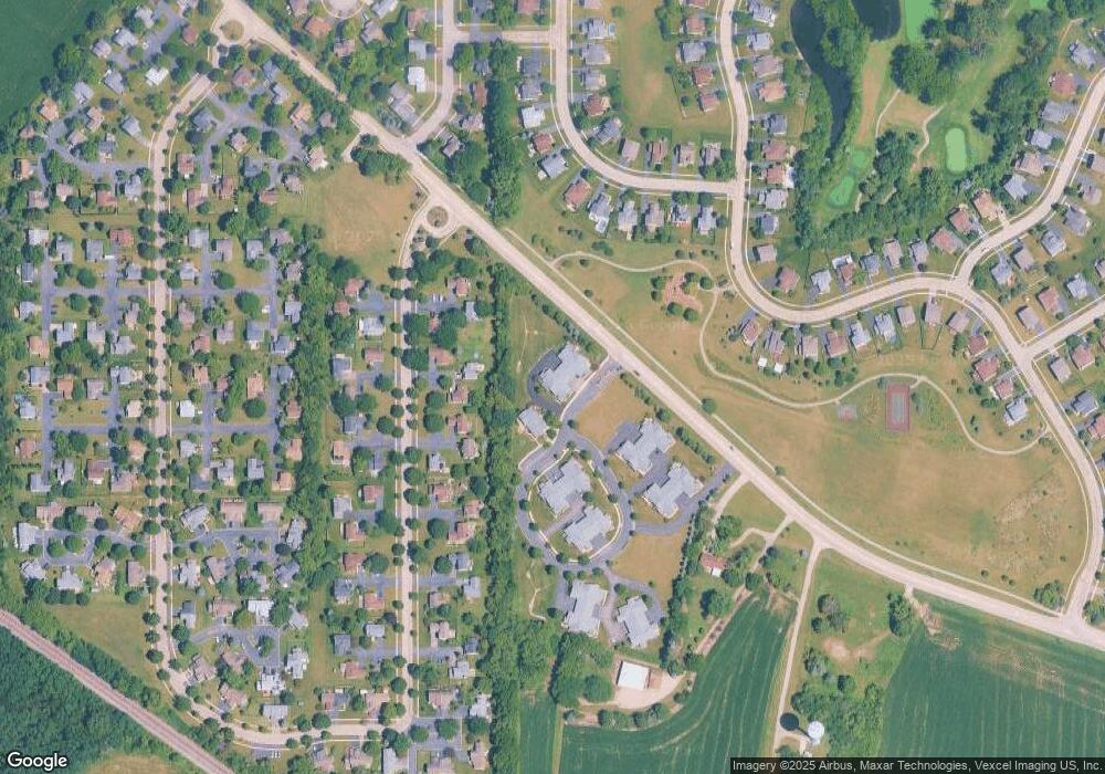
Map
Nearby Homes
- Lot 5 Olmstead Dr
- Lot 2 Olmstead Dr
- lot 1 Mcconnell Rd
- 2108 Aspen Dr
- 2101 Preswick Ln
- 2525 Applewood Ln
- 2019 Aspen Dr
- 2021 Aspen Dr
- Lot #23 Ridgemoor Trail
- Lot #22 Ridgemoor Trail
- Lot #21 Ridgemoor Trail
- Lot #34 W Longwood Dr
- Lot #33 W Longwood Dr
- Lot #28 W Longwood Dr
- Lot #29 W Longwood Dr
- 1624 Bull Valley Dr
- 2417 Fairview Cir
- 1480 W Longwood Dr
- 1601 Bobolink Cir
- 1551 Bobolink Cir
- 2003 Olmstead Dr Unit 7D
- 2003 Olmstead Dr
- 2001 Olmstead Dr Unit 2001
- 2001 Olmstead Dr Unit B
- 2001 Olmstead Dr Unit 1B
- 2005 Olmstead Dr
- 2250 Applewood Ln
- 2260 Applewood Ln
- 2013 Olmstead Dr
- 2013 Olmstead Dr Unit 9A
- 2220 Applewood Ln
- 2010 Olmstead Dr
- 2014 Olmstead Dr Unit 3D
- 2012 Olmstead Dr
- 2008 Olmstead Dr
- 2012 Olmstead Dr Unit 2012
- 2014 Olmstead Dr Unit DR
- 2012 Olmstead Dr Unit 3B
- 2270 Applewood Ln
- 2019 Olmstead Dr Unit 9D