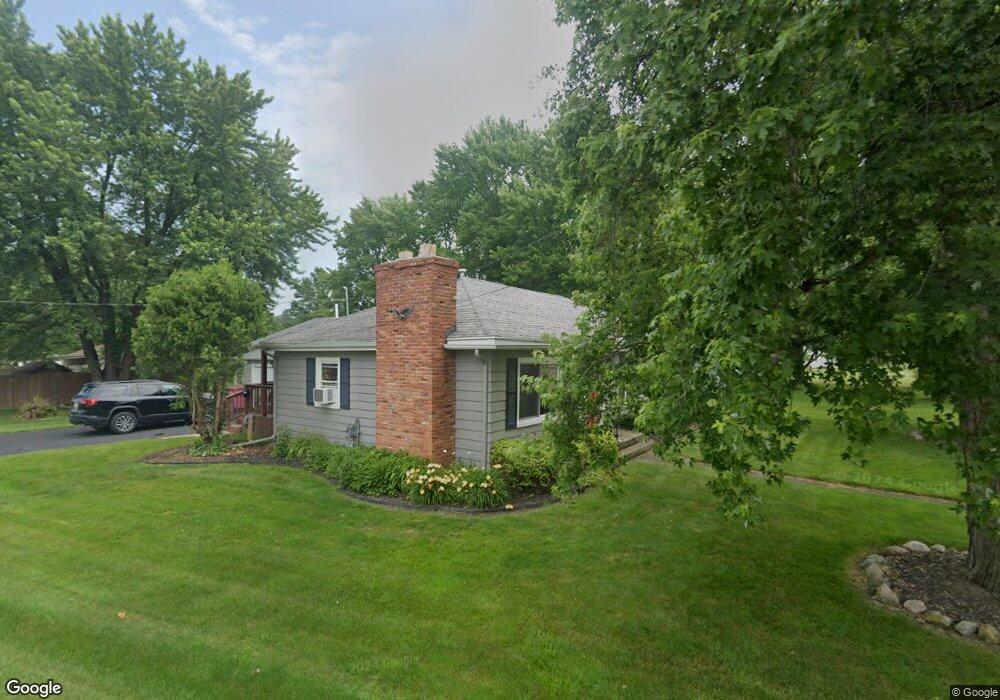
2001 Owosso Ave Owosso, MI 48867
Estimated Value: $148,829 - $152,000
3
Beds
1
Bath
1,200
Sq Ft
$125/Sq Ft
Est. Value
About This Home
This home is located at 2001 Owosso Ave, Owosso, MI 48867 and is currently estimated at $150,207, approximately $125 per square foot. 2001 Owosso Ave is a home located in Shiawassee County with nearby schools including Corunna High School, St. Paul Catholic School, and St. Joseph School.
Ownership History
Date
Name
Owned For
Owner Type
Purchase Details
Closed on
Oct 19, 2011
Sold by
White Kelly
Bought by
Barnefske Shane D
Current Estimated Value
Home Financials for this Owner
Home Financials are based on the most recent Mortgage that was taken out on this home.
Original Mortgage
$56,122
Outstanding Balance
$38,314
Interest Rate
4.12%
Mortgage Type
Purchase Money Mortgage
Estimated Equity
$111,893
Purchase Details
Closed on
Jun 15, 2009
Sold by
Secretary Of Housing & Urban Developme
Bought by
White Kelly
Create a Home Valuation Report for This Property
The Home Valuation Report is an in-depth analysis detailing your home's value as well as a comparison with similar homes in the area
Home Values in the Area
Average Home Value in this Area
Purchase History
| Date | Buyer | Sale Price | Title Company |
|---|---|---|---|
| Barnefske Shane D | $55,000 | -- | |
| White Kelly | $40,500 | -- |
Source: Public Records
Mortgage History
| Date | Status | Borrower | Loan Amount |
|---|---|---|---|
| Open | Barnefske Shane D | $56,122 |
Source: Public Records
Tax History Compared to Growth
Tax History
| Year | Tax Paid | Tax Assessment Tax Assessment Total Assessment is a certain percentage of the fair market value that is determined by local assessors to be the total taxable value of land and additions on the property. | Land | Improvement |
|---|---|---|---|---|
| 2025 | $971 | $65,400 | $0 | $0 |
| 2024 | $971 | $59,100 | $0 | $0 |
| 2023 | $420 | $53,300 | $0 | $0 |
| 2022 | $498 | $45,400 | $0 | $0 |
| 2021 | $873 | $41,800 | $0 | $0 |
| 2020 | $470 | $37,900 | $0 | $0 |
| 2019 | $694 | $34,000 | $0 | $0 |
| 2018 | $839 | $34,200 | $0 | $0 |
| 2017 | $802 | $31,800 | $0 | $0 |
| 2016 | -- | $31,800 | $0 | $0 |
| 2015 | -- | $32,100 | $0 | $0 |
| 2014 | -- | $30,200 | $0 | $0 |
Source: Public Records
Map
Nearby Homes
- 1856 Owosso Ave
- 628 Aiken St
- 1605 Corunna Ave
- Parcel A Aiken Rd
- 611 Beck Ave
- 644 Hillside Dr
- V/L Short St
- 808 Corunna Ave
- 702 Glenwood Ave
- V/L E Main St
- 915 Corunna Ave
- 637 Woodvalley Dr
- 755 Woodlawn Ave
- 304 W Corunna Ave
- 432 Oakwood Ave
- 609 Broadway Ave
- 619 Huron St
- 201 N Woodworth St
- 212 W State St
- 827 Lingle Ave
- 2011 Owosso Ave
- 1951 Owosso Ave
- 2008 Kilbourn Ave
- 2002 Kilbourn Ave
- 2000 Owosso Ave
- 814 Division Rd
- 2010 Kilbourn Ave
- 1945 Owosso Ave
- 2014 Kilbourn Ave
- 1944 Kilbourn Ave
- 2021 Owosso Ave
- 2001 Corunna Ave
- 1941 Owosso Ave
- 2003 Kilbourn Ave
- 2009 Kilbourn Ave
- 1951 Corunna Ave
- 2016 Kilbourn Ave
- 715 Division Rd
- 2026 Kilbourn Ave
- 2013 Kilbourn Ave