2001 Red Prairie Dr Edmond, OK 73025
Coffee Creek NeighborhoodEstimated Value: $493,000 - $576,000
3
Beds
3
Baths
2,791
Sq Ft
$186/Sq Ft
Est. Value
About This Home
This home is located at 2001 Red Prairie Dr, Edmond, OK 73025 and is currently estimated at $519,165, approximately $186 per square foot. 2001 Red Prairie Dr is a home located in Oklahoma County with nearby schools including Cross Timbers Elementary School, Cheyenne Middle School, and North High School.
Ownership History
Date
Name
Owned For
Owner Type
Purchase Details
Closed on
Mar 2, 2015
Sold by
Leslie Edwin M and Leslie Lucille
Bought by
Leslie Edwin M and Leslie Lucille N
Current Estimated Value
Purchase Details
Closed on
Jan 23, 1998
Sold by
Mccalebs Highland Homes Inc
Bought by
Leslie Edwin M and Leslie Lucille
Purchase Details
Closed on
Jul 16, 1997
Sold by
Signature Properties International L P
Bought by
Mccalebs Highland Homes Inc
Create a Home Valuation Report for This Property
The Home Valuation Report is an in-depth analysis detailing your home's value as well as a comparison with similar homes in the area
Home Values in the Area
Average Home Value in this Area
Purchase History
| Date | Buyer | Sale Price | Title Company |
|---|---|---|---|
| Leslie Edwin M | -- | Attorney | |
| Leslie Edwin M | $265,000 | -- | |
| Mccalebs Highland Homes Inc | $40,000 | -- |
Source: Public Records
Tax History Compared to Growth
Tax History
| Year | Tax Paid | Tax Assessment Tax Assessment Total Assessment is a certain percentage of the fair market value that is determined by local assessors to be the total taxable value of land and additions on the property. | Land | Improvement |
|---|---|---|---|---|
| 2024 | $4,245 | $42,973 | $5,930 | $37,043 |
| 2023 | $4,245 | $41,722 | $5,945 | $35,777 |
| 2022 | $4,134 | $40,506 | $6,521 | $33,985 |
| 2021 | $3,992 | $39,327 | $6,933 | $32,394 |
| 2020 | $3,919 | $38,182 | $7,428 | $30,754 |
| 2019 | $3,820 | $37,070 | $7,437 | $29,633 |
| 2018 | $3,914 | $37,730 | $0 | $0 |
| 2017 | $3,948 | $38,224 | $7,437 | $30,787 |
| 2016 | $3,874 | $37,606 | $6,323 | $31,283 |
| 2015 | $3,754 | $36,510 | $6,253 | $30,257 |
| 2014 | $3,637 | $35,447 | $6,374 | $29,073 |
Source: Public Records
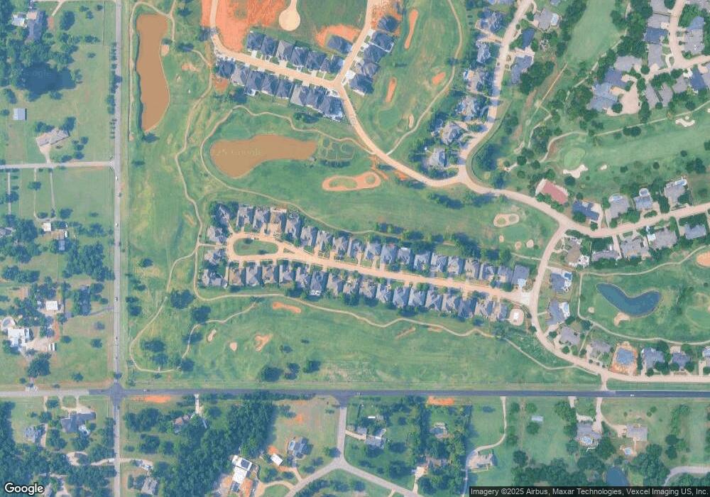
Map
Nearby Homes
- 1909 Red Prairie Dr
- 2009 Wiregrass Dr
- 5901 Calcutta Ln
- 2109 Wiregrass Dr
- 2017 Colonial Way
- 2009 Colonial Way
- 2320 W Sorghum Mill Rd
- 1601 Irvine Dr
- 10071 Lacewood Dr
- 14399 Fox Lair Ln
- 14242 Fox Lair Ln
- 5906 Chestnut Ct
- 1621 Mill Creek Rd
- 5801 Oak Tree Rd
- 1405 Irvine Dr
- 6201 Canopy Ln
- 1206 Saint Andrews Dr
- 6108 Oak Tree Rd
- 1103 Saint Andrews Dr
- 9071 Oak Tree Cir
- 1933 Red Prairie Dr
- 2009 Red Prairie Dr
- 1925 Red Prairie Dr
- 2017 Red Prairie Dr
- 2000 Red Prairie Dr
- 2008 Red Prairie Dr
- 1932 Red Prairie Dr
- 1917 Red Prairie Dr
- 2016 Red Prairie Dr
- 1924 Red Prairie Dr
- 2024 Red Prairie Dr
- 1916 Red Prairie Dr
- 2033 Red Prairie Dr
- 2032 Red Prairie Dr
- 1908 Red Prairie Dr
- 1901 Red Prairie Dr
- 2101 Red Prairie Dr
- 2100 Red Prairie Dr
- 1900 Red Prairie Dr
- 1833 Red Prairie Dr