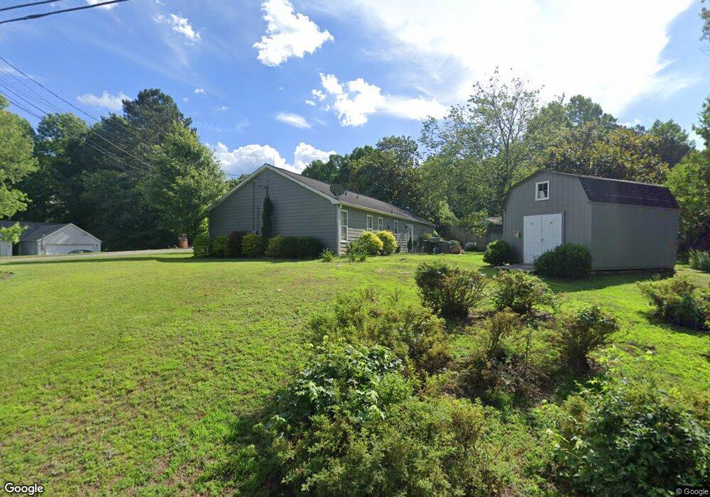
2001 River Ct Unit 316 Woodstock, GA 30188
Union Hill NeighborhoodEstimated Value: $355,000 - $387,831
3
Beds
2
Baths
1,612
Sq Ft
$230/Sq Ft
Est. Value
About This Home
This home is located at 2001 River Ct Unit 316, Woodstock, GA 30188 and is currently estimated at $371,416, approximately $230 per square foot. 2001 River Ct Unit 316 is a home located in Cherokee County with nearby schools including Arnold Mill Elementary School, Mill Creek Middle School, and River Ridge High School.
Ownership History
Date
Name
Owned For
Owner Type
Purchase Details
Closed on
Dec 21, 2015
Sold by
Fisher Norman Clinton
Bought by
Hill Warren Joseph and Hill Janice Carole
Current Estimated Value
Home Financials for this Owner
Home Financials are based on the most recent Mortgage that was taken out on this home.
Original Mortgage
$145,807
Outstanding Balance
$116,831
Interest Rate
3.87%
Mortgage Type
FHA
Estimated Equity
$254,585
Create a Home Valuation Report for This Property
The Home Valuation Report is an in-depth analysis detailing your home's value as well as a comparison with similar homes in the area
Home Values in the Area
Average Home Value in this Area
Purchase History
| Date | Buyer | Sale Price | Title Company |
|---|---|---|---|
| Hill Warren Joseph | $148,500 | -- |
Source: Public Records
Mortgage History
| Date | Status | Borrower | Loan Amount |
|---|---|---|---|
| Open | Hill Warren Joseph | $145,807 |
Source: Public Records
Tax History Compared to Growth
Tax History
| Year | Tax Paid | Tax Assessment Tax Assessment Total Assessment is a certain percentage of the fair market value that is determined by local assessors to be the total taxable value of land and additions on the property. | Land | Improvement |
|---|---|---|---|---|
| 2024 | $683 | $131,128 | $30,400 | $100,728 |
| 2023 | $713 | $129,476 | $28,800 | $100,676 |
| 2022 | $667 | $115,544 | $23,600 | $91,944 |
| 2021 | $623 | $88,496 | $18,000 | $70,496 |
| 2020 | $585 | $77,844 | $14,000 | $63,844 |
| 2019 | $562 | $71,720 | $14,000 | $57,720 |
| 2018 | $544 | $64,240 | $14,000 | $50,240 |
| 2017 | $1,766 | $153,200 | $14,000 | $47,280 |
| 2016 | $1,521 | $130,600 | $12,400 | $39,840 |
| 2015 | $1,384 | $123,400 | $12,400 | $36,960 |
| 2014 | $1,252 | $112,000 | $11,600 | $33,200 |
Source: Public Records
Map
Nearby Homes
- 2209 River Woods Way
- 711 Woodbridge Dr
- 624 Arnold Mill Rd
- 321 Burdock Trace
- 414 Spring View Dr
- 632 Arnold Mill Rd
- 605 Sorrell Way
- 636 Arnold Mill Rd
- 236 Persimmon Dr
- 123 Old Reece Ln
- 454 Silver Brook Dr
- 119 Old Reece Ln
- 436 Silver Brook Dr
- 806 Westover Ct
- 104 River Creek Dr
- 109 Susobell Place
- 114 Neetle Close Dr
- 116 Neetle Close Dr
- 2001 River Ct
- 1817 River Rock Trail
- 0 River Ct Unit 8664506
- 0 River Ct Unit 3266957
- 0 River Ct
- 2002 River Ct
- 1820 River Rock Trail
- 2004 River Ct
- 1819 River Rock Trail
- 1818 River Rock Trail
- 2003 River Ct
- 1816 River Rock Trail
- 1822 River Rock Trail Unit 4
- 1811 River Rock Trail
- 2006 River Ct Unit 4
- 0 River Rock Trail Unit 8630095
- 0 River Rock Trail Unit 8495115
- 0 River Rock Trail Unit 8218167
- 0 River Rock Trail Unit 8530331
- 0 River Rock Trail