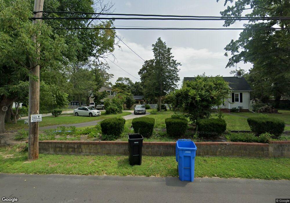
2001 Route 9 Ocean View, NJ 08230
Estimated Value: $373,000 - $597,000
2
Beds
1
Bath
2,724
Sq Ft
$189/Sq Ft
Est. Value
About This Home
This home is located at 2001 Route 9, Ocean View, NJ 08230 and is currently estimated at $515,172, approximately $189 per square foot. 2001 Route 9 is a home located in Cape May County with nearby schools including Upper Township Primary School, Upper Township Elementary School, and Upper Township Middle School.
Ownership History
Date
Name
Owned For
Owner Type
Purchase Details
Closed on
Jan 30, 2015
Sold by
Creighton Henrietta
Bought by
Tocci Julietta
Current Estimated Value
Home Financials for this Owner
Home Financials are based on the most recent Mortgage that was taken out on this home.
Original Mortgage
$200,000
Outstanding Balance
$159,879
Interest Rate
5%
Mortgage Type
Seller Take Back
Estimated Equity
$355,293
Purchase Details
Closed on
Apr 6, 2001
Purchase Details
Closed on
May 8, 1990
Sold by
Creighton William H and Creighton Henrietta A
Bought by
Atlantic City Electric Co
Create a Home Valuation Report for This Property
The Home Valuation Report is an in-depth analysis detailing your home's value as well as a comparison with similar homes in the area
Home Values in the Area
Average Home Value in this Area
Purchase History
| Date | Buyer | Sale Price | Title Company |
|---|---|---|---|
| Tocci Julietta | $200,000 | None Available | |
| -- | -- | -- | |
| Atlantic City Electric Co | -- | -- |
Source: Public Records
Mortgage History
| Date | Status | Borrower | Loan Amount |
|---|---|---|---|
| Open | Tocci Julietta | $200,000 |
Source: Public Records
Tax History Compared to Growth
Tax History
| Year | Tax Paid | Tax Assessment Tax Assessment Total Assessment is a certain percentage of the fair market value that is determined by local assessors to be the total taxable value of land and additions on the property. | Land | Improvement |
|---|---|---|---|---|
| 2025 | $6,036 | $263,000 | $142,500 | $120,500 |
| 2024 | $6,036 | $263,000 | $142,500 | $120,500 |
| 2023 | $5,739 | $263,000 | $142,500 | $120,500 |
| 2022 | $5,547 | $263,000 | $142,500 | $120,500 |
| 2021 | $5,352 | $263,000 | $142,500 | $120,500 |
| 2020 | $5,150 | $263,000 | $142,500 | $120,500 |
| 2019 | $5,026 | $263,000 | $142,500 | $120,500 |
| 2018 | $4,897 | $263,000 | $142,500 | $120,500 |
| 2017 | $4,842 | $263,000 | $142,500 | $120,500 |
| 2016 | $5,479 | $293,000 | $142,500 | $150,500 |
| 2015 | $5,336 | $293,000 | $142,500 | $150,500 |
| 2014 | $4,461 | $300,000 | $180,000 | $120,000 |
Source: Public Records
Map
Nearby Homes