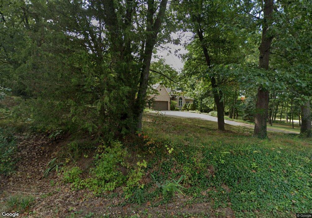
2001 Schuring Rd Portage, MI 49024
Estimated Value: $586,000 - $745,496
4
Beds
4
Baths
4,500
Sq Ft
$142/Sq Ft
Est. Value
About This Home
This home is located at 2001 Schuring Rd, Portage, MI 49024 and is currently estimated at $640,165, approximately $142 per square foot. 2001 Schuring Rd is a home located in Kalamazoo County with nearby schools including Woodland Elementary School, Portage Central Middle School, and Portage Central High School.
Ownership History
Date
Name
Owned For
Owner Type
Purchase Details
Closed on
Jul 15, 2005
Sold by
Schippers Jerry and Schippers Bonnie
Bought by
Visser Melvin J and Visser Gloria J
Current Estimated Value
Home Financials for this Owner
Home Financials are based on the most recent Mortgage that was taken out on this home.
Original Mortgage
$400,000
Outstanding Balance
$120,260
Interest Rate
5%
Mortgage Type
Fannie Mae Freddie Mac
Estimated Equity
$519,905
Create a Home Valuation Report for This Property
The Home Valuation Report is an in-depth analysis detailing your home's value as well as a comparison with similar homes in the area
Home Values in the Area
Average Home Value in this Area
Purchase History
| Date | Buyer | Sale Price | Title Company |
|---|---|---|---|
| Visser Melvin J | $400,000 | Metro |
Source: Public Records
Mortgage History
| Date | Status | Borrower | Loan Amount |
|---|---|---|---|
| Open | Visser Melvin J | $400,000 |
Source: Public Records
Tax History
| Year | Tax Paid | Tax Assessment Tax Assessment Total Assessment is a certain percentage of the fair market value that is determined by local assessors to be the total taxable value of land and additions on the property. | Land | Improvement |
|---|---|---|---|---|
| 2025 | $8,661 | $385,700 | $0 | $0 |
| 2024 | $8,411 | $366,000 | $0 | $0 |
| 2023 | $8,018 | $301,800 | $0 | $0 |
| 2022 | $8,664 | $287,400 | $0 | $0 |
| 2021 | $8,373 | $261,600 | $0 | $0 |
| 2020 | $8,191 | $228,800 | $0 | $0 |
| 2019 | $738 | $225,000 | $0 | $0 |
| 2018 | $0 | $208,700 | $0 | $0 |
| 2017 | $0 | $171,100 | $0 | $0 |
| 2016 | -- | $184,100 | $0 | $0 |
| 2015 | -- | $170,200 | $0 | $0 |
| 2014 | -- | $178,100 | $0 | $0 |
Source: Public Records
Map
Nearby Homes
- 1823 Birchton Ave
- 1517 Royal Oak Ave
- 7848 Chippewa St
- 1318 Ashton Woods Ct
- 1207 Hampton Oaks Dr
- 2076 Lion Gate Dr
- 6909 Oakland Dr
- 3062 Innisbrook Dr
- 6803 Fescue St
- 7251 Windhaven Ct
- 6826 Welbury St
- 6642 Westchester St
- 6648 Cypress St
- 3320 Scots Pine Way Unit 4
- 7922 Kilmory Cir
- 7236 Hampstead Ln Unit 18
- 1186 Rainbow Ct
- 6620 Evergreen St
- 1575 Dogwood Dr
- 6519 Trotwood St
- 7533 Oakland Dr
- 1971 Schuring Rd
- 2010 Charter Ave
- 1930 Charter Ave
- 2030 Charter Ave
- 7508 Oakland Dr
- 1831 Schuring Rd
- 7455 Oakland Dr
- 1922 Charter Ave
- 1960 Schuring Rd
- 7414 Oakland Dr
- 1914 Charter Ave
- 1940 Schuring Rd
- 2029 Charter Ave
- 7606 Andrea Ln
- 1916 Schuring Rd
- 1906 Charter Ave
- 1910 Schuring Rd
- 7425 Oakland Dr
- 7426 Oakland Dr
Your Personal Tour Guide
Ask me questions while you tour the home.