Estimated Value: $200,000 - $231,000
2
Beds
1
Bath
1,061
Sq Ft
$206/Sq Ft
Est. Value
About This Home
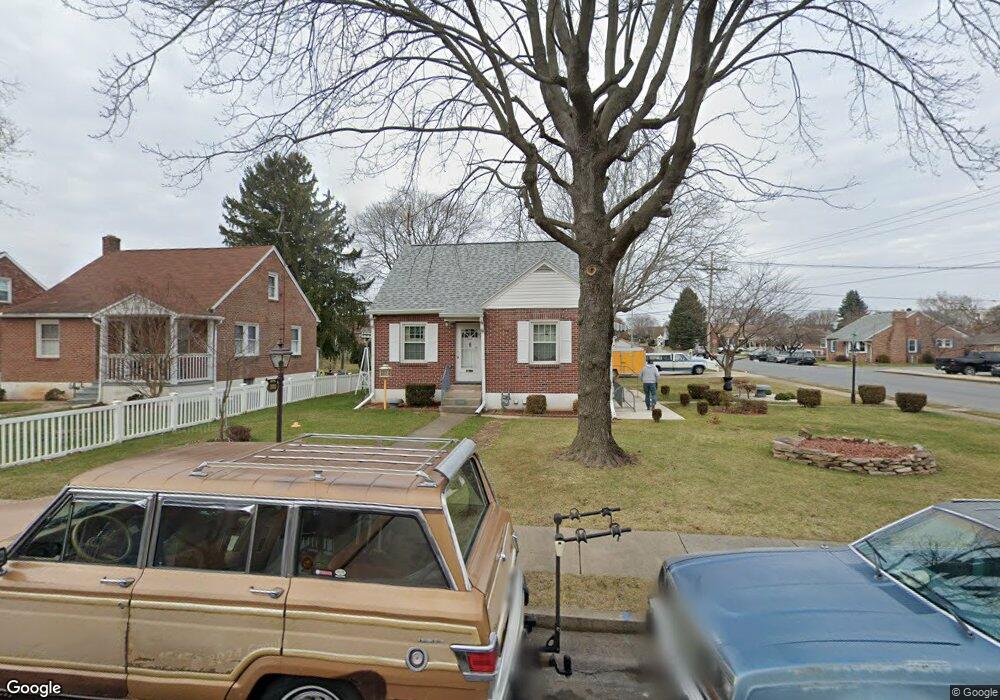
This home is located at 2001 Stanton St, York, PA 17404 and is currently estimated at $218,765, approximately $206 per square foot. 2001 Stanton St is a home located in York County with nearby schools including West York Area High School, Lincoln Charter School, and Logos Academy.
Ownership History
Date
Name
Owned For
Owner Type
Purchase Details
Closed on
Oct 22, 2013
Sold by
Firestone Stanley E and Firestone Bonnie M
Bought by
Firestone Stanley E
Current Estimated Value
Purchase Details
Closed on
Sep 25, 2002
Sold by
Anderson W Delmar and Anderson Viola W
Bought by
Firestone Stanley E and Firestone Bonnie M
Home Financials for this Owner
Home Financials are based on the most recent Mortgage that was taken out on this home.
Original Mortgage
$88,740
Outstanding Balance
$44,732
Interest Rate
8.99%
Estimated Equity
$174,033
Create a Home Valuation Report for This Property
The Home Valuation Report is an in-depth analysis detailing your home's value as well as a comparison with similar homes in the area
Home Values in the Area
Average Home Value in this Area
Purchase History
| Date | Buyer | Sale Price | Title Company |
|---|---|---|---|
| Firestone Stanley E | -- | None Available | |
| Firestone Stanley E | $98,600 | -- |
Source: Public Records
Mortgage History
| Date | Status | Borrower | Loan Amount |
|---|---|---|---|
| Open | Firestone Stanley E | $88,740 |
Source: Public Records
Tax History
| Year | Tax Paid | Tax Assessment Tax Assessment Total Assessment is a certain percentage of the fair market value that is determined by local assessors to be the total taxable value of land and additions on the property. | Land | Improvement |
|---|---|---|---|---|
| 2025 | $3,472 | $102,950 | $28,460 | $74,490 |
| 2024 | $3,384 | $102,950 | $28,460 | $74,490 |
| 2023 | $3,384 | $102,950 | $28,460 | $74,490 |
| 2022 | $3,384 | $102,950 | $28,460 | $74,490 |
| 2021 | $3,281 | $102,950 | $28,460 | $74,490 |
| 2020 | $3,281 | $102,950 | $28,460 | $74,490 |
| 2019 | $3,220 | $102,950 | $28,460 | $74,490 |
| 2018 | $3,194 | $102,950 | $28,460 | $74,490 |
| 2017 | $3,002 | $99,820 | $28,460 | $71,360 |
| 2016 | $0 | $99,820 | $28,460 | $71,360 |
| 2015 | -- | $99,820 | $28,460 | $71,360 |
| 2014 | -- | $99,820 | $28,460 | $71,360 |
Source: Public Records
Map
Nearby Homes
- 2006 Orange St
- 105 N Gotwalt St
- 1825 W Philadelphia St
- 1995 Worth St
- 1806 Filbert St
- 1826 Orange St
- 1880 W Market St
- 1745 Filbert Rear St Unit REAR
- 22 Ridgeway Dr
- 1761 W Market St
- 1635 Stanton St
- 1626 Stanton St
- 377 Weldon Dr Unit 377
- 39 S Sumner St
- 258 N Seward St
- 413 Weldon Dr
- 423 Weldon Dr Unit 423
- 451 Weldon Dr Unit 451
- 855 Old Taxville Rd
- 1420 W Market St
- 2003 Stanton St
- 2005 Stanton St
- 2000 Stanton St
- 2030 Stanton St
- 2007 Stanton St
- 249 N Oxford St
- 2032 Stanton St
- 153 N Oxford St
- 2009 Stanton St
- 2004 Filbert St
- 251 N Oxford St
- 2002 Filbert St
- 1954 Filbert St
- 151 N Oxford St
- 2011 Stanton St
- 2006 Filbert St
- 2036 Stanton St
- 1950 Filbert St
- 2009 W Philadelphia St
- 2008 Filbert St
Your Personal Tour Guide
Ask me questions while you tour the home.