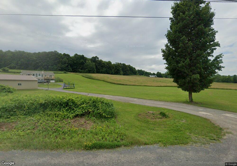
2001 State Route 28 Mohawk, NY 13407
Estimated Value: $250,000 - $311,000
3
Beds
2
Baths
2,000
Sq Ft
$143/Sq Ft
Est. Value
About This Home
This home is located at 2001 State Route 28, Mohawk, NY 13407 and is currently estimated at $285,504, approximately $142 per square foot. 2001 State Route 28 is a home located in Herkimer County with nearby schools including Harry M. Fisher Elementary School, Barringer Road Elementary School, and Gregory B. Jarvis Middle School.
Ownership History
Date
Name
Owned For
Owner Type
Purchase Details
Closed on
Aug 30, 2002
Sold by
Jouben Patricia
Bought by
Maccammon Gordon W
Current Estimated Value
Purchase Details
Closed on
Jul 29, 1995
Sold by
Sorenson Scott E and Sorenson Theresa
Bought by
Paul Jouben and Paul Patricia A
Create a Home Valuation Report for This Property
The Home Valuation Report is an in-depth analysis detailing your home's value as well as a comparison with similar homes in the area
Home Values in the Area
Average Home Value in this Area
Purchase History
| Date | Buyer | Sale Price | Title Company |
|---|---|---|---|
| Maccammon Gordon W | -- | Robert Malone | |
| Maccammon Gordon W | $96,720 | Robert Malone | |
| Paul Jouben | $5,000 | -- |
Source: Public Records
Tax History
| Year | Tax Paid | Tax Assessment Tax Assessment Total Assessment is a certain percentage of the fair market value that is determined by local assessors to be the total taxable value of land and additions on the property. | Land | Improvement |
|---|---|---|---|---|
| 2024 | $4,561 | $125,000 | $16,700 | $108,300 |
| 2023 | $4,377 | $125,000 | $16,700 | $108,300 |
| 2022 | $4,468 | $125,000 | $16,700 | $108,300 |
| 2021 | $4,511 | $125,000 | $16,700 | $108,300 |
| 2020 | $3,753 | $125,000 | $16,700 | $108,300 |
| 2019 | $2,956 | $125,000 | $16,700 | $108,300 |
| 2018 | $3,667 | $125,000 | $16,700 | $108,300 |
| 2017 | $2,955 | $125,000 | $16,700 | $108,300 |
| 2016 | $2,959 | $125,000 | $16,700 | $108,300 |
| 2015 | -- | $125,000 | $16,700 | $108,300 |
| 2014 | -- | $125,000 | $16,700 | $108,300 |
Source: Public Records
Map
Nearby Homes
- 2029 State Route 28
- 657 Columbia Center Rd
- 0 Polly Miller Rd Unit S1339037
- 00 Brennan Rd
- 104 Mortz Rd
- 1451 Elizabethtown Rd
- 1189 Elizabethtown Rd
- 2784 New York 51
- 1 Henry St
- 25 Henry St
- 0 Buchanan St
- 203 Elm St
- 143 Lake Rd
- 51 Columbia St
- 21 Gordon Place
- 21 Frederick St
- 10 Frederick St
- 130 W Main St
- 5 Walnut St
- 24 Spring St
- 1979 State Highway 28
- 2011 State Route 28
- 2010 State Route 28
- 1973 State Route 28
- 1987 State Route 28
- 2004 State Route 28
- 1986 State Route 28
- 2012 State Route 28
- 555 Columbia Center Rd
- 115 Horseshoe Ln
- 2024 State Route 28
- 103 Polly Miller Rd
- 2018 State Route 28
- 1956 State Route 28
- 2035 State Route 28
- 161 Polly Miller Rd
- 586 Columbia Center Rd
- 2040 State Route 28
- 615 Columbia Center Rd
- 1942 State Route 28
Your Personal Tour Guide
Ask me questions while you tour the home.