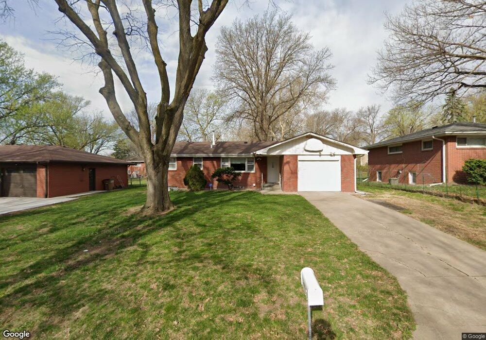
2001 Twin Ridge Rd Lincoln, NE 68506
Central Lincoln NeighborhoodEstimated Value: $249,000 - $272,000
3
Beds
2
Baths
1,895
Sq Ft
$140/Sq Ft
Est. Value
About This Home
This home is located at 2001 Twin Ridge Rd, Lincoln, NE 68506 and is currently estimated at $265,255, approximately $139 per square foot. 2001 Twin Ridge Rd is a home located in Lancaster County with nearby schools including Morley Elementary School, Lux Middle School, and Lincoln East High School.
Ownership History
Date
Name
Owned For
Owner Type
Purchase Details
Closed on
Feb 25, 2000
Sold by
Vo Can and Huynh Dao Thi
Bought by
Vo Can and Huynh Dao Thi
Current Estimated Value
Home Financials for this Owner
Home Financials are based on the most recent Mortgage that was taken out on this home.
Original Mortgage
$33,000
Interest Rate
8.36%
Mortgage Type
Stand Alone Second
Create a Home Valuation Report for This Property
The Home Valuation Report is an in-depth analysis detailing your home's value as well as a comparison with similar homes in the area
Home Values in the Area
Average Home Value in this Area
Purchase History
| Date | Buyer | Sale Price | Title Company |
|---|---|---|---|
| Vo Can | -- | -- |
Source: Public Records
Mortgage History
| Date | Status | Borrower | Loan Amount |
|---|---|---|---|
| Closed | Vo Can | $33,000 |
Source: Public Records
Tax History Compared to Growth
Tax History
| Year | Tax Paid | Tax Assessment Tax Assessment Total Assessment is a certain percentage of the fair market value that is determined by local assessors to be the total taxable value of land and additions on the property. | Land | Improvement |
|---|---|---|---|---|
| 2025 | -- | $254,300 | $60,000 | $194,300 |
| 2024 | -- | $231,900 | $50,000 | $181,900 |
| 2023 | -- | $217,500 | $50,000 | $167,500 |
| 2022 | $3,302 | $165,700 | $40,000 | $125,700 |
| 2021 | $3,336 | $165,700 | $40,000 | $125,700 |
| 2020 | $2,785 | $145,600 | $40,000 | $105,600 |
| 2019 | $2,782 | $145,600 | $40,000 | $105,600 |
| 2018 | $1,676 | $150,000 | $40,000 | $110,000 |
| 2017 | $2,906 | $150,000 | $40,000 | $110,000 |
| 2016 | $2,783 | $142,900 | $35,000 | $107,900 |
| 2015 | $2,763 | $142,900 | $35,000 | $107,900 |
| 2014 | $2,530 | $130,100 | $35,000 | $95,100 |
| 2013 | -- | $130,100 | $35,000 | $95,100 |
Source: Public Records
Map
Nearby Homes
- 2001 Morningside Dr
- 1920 Riviera Dr
- 6301 Newton St
- 6545 Flint Ridge Place
- 1731 E Manor Dr
- 6220 Sumner St
- 1850 E Bermuda Dr
- 1830 E Bermuda Dr
- 1521 Kingston Rd
- 6123 A St
- 1900 Lori Ln
- 7101 South St Unit 1
- 6341 Rainier Dr
- 2036 Greenbriar Ln
- 2505 S 70th St
- 7010 Shamrock Rd
- 7100 Lincolnshire Rd
- 1610 Circle Dr
- 1401 S 58th St
- 7106 Shamrock Rd
- 1933 Twin Ridge Rd
- 2011 Twin Ridge Rd
- 2010 Morningside Dr
- 2000 Morningside Dr
- 1923 Twin Ridge Rd
- 2021 Twin Ridge Rd
- 2020 Morningside Dr
- 1936 Morningside Dr
- 2000 Twin Ridge Rd
- 2011 Broadmoore Dr
- 1934 Twin Ridge Rd
- 1911 Twin Ridge Rd
- 2032 Morningside Dr
- 1924 Twin Ridge Rd
- 6520 South St
- 2031 Broadmoore Dr
- 6531 Franklin St
- 6500 South St
- 1912 Twin Ridge Rd
- 2001 Broadmoore Dr