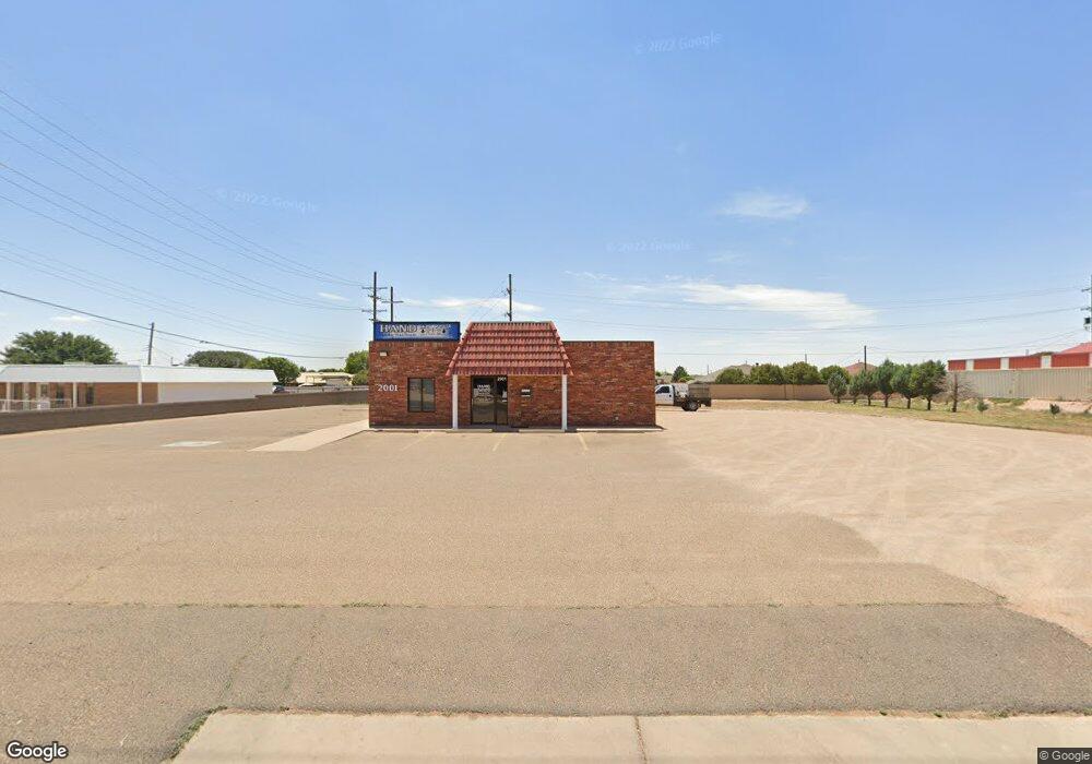
2001 W 21st St Clovis, NM 88101
Estimated Value: $408,000
About This Home
This home is located at 2001 W 21st St, Clovis, NM 88101 and is currently estimated at $408,000, approximately $340 per square foot. 2001 W 21st St is a home located in Curry County with nearby schools including Cameo Elementary School, WD Gattis Middle School, and Clovis High School.
Ownership History
We collect this data history from publicly available records. To have your information removed, we recommend requesting removal directly through your county’s website.
Purchase Details
Home Financials for this Owner
Home Financials are based on the most recent Mortgage that was taken out on this home.Purchase History
We collect this data history from publicly available records. To have your information removed, we recommend requesting removal directly through your county’s website.
| Date | Buyer | Sale Price | Title Company |
|---|---|---|---|
| $437,500 | Landmark Title |
Mortgage History
We collect this data history from publicly available records. To have your information removed, we recommend requesting removal directly through your county’s website.
| Date | Status | Borrower | Loan Amount |
|---|---|---|---|
| Open | $350,000 |
Tax History
We collect this data history from publicly available records. To have your information removed, we recommend requesting removal directly through your county’s website.
| Year | Tax Paid | Tax Assessment Tax Assessment Total Assessment is a certain percentage of the fair market value that is determined by local assessors to be the total taxable value of land and additions on the property. | Land | Improvement |
|---|---|---|---|---|
| 2025 | $1,664 | $72,011 | $5,950 | $66,061 |
| 2024 | $1,664 | $68,866 | $5,950 | $62,916 |
| 2023 | $1,661 | $65,870 | $5,950 | $59,920 |
| 2022 | $1,601 | $63,017 | $5,950 | $57,067 |
| 2021 | $1,538 | $63,017 | $5,950 | $57,067 |
| 2020 | $1,425 | $58,390 | $5,950 | $52,440 |
| 2019 | $1,408 | $57,743 | $5,950 | $51,793 |
| 2018 | $1,350 | $55,277 | $5,950 | $49,327 |
| 2017 | $1,219 | $52,929 | $5,950 | $46,979 |
| 2016 | $1,219 | $50,692 | $5,950 | $44,742 |
| 2015 | $1,186 | $48,562 | $5,950 | $42,612 |
| 2014 | $1,193 | $48,832 | $6,220 | $42,612 |
Map
- 4501 W 21st St
- 321 Merrill Dr
- 2000 Unit E1 W 21st Street
- 914 W 21st St
- 301 La Salle Dr
- 1121 Purdue Ave
- 2108 Echols Ave
- 212 La Salle Dr
- 2300 Westgate St
- 108 Cooper Ct
- 2320 Moberly Dr
- 1648 W 60 84 Hwy
- 309 Sunland Dr
- 221 Sunland Dr
- 437 Sandy Ln
- 1020 N Beta St
- 1821 Gerry Dr
- 1201 W Yucca Ave
- 129 Tucker Cir
- 3121 Mandell Cir
- 504 La Salle Dr
- 500 La Salle Dr
- 508 La Salle Dr
- 432 La Salle Dr
- 1916 W 21st St
- 512 La Salle Dr
- 428 La Salle Dr
- 1928 W 21st St
- 516 La Salle Dr
- 424 La Salle Dr
- 1933 Franklin Dr
- 520 La Salle Dr
- 1924 21st
- 400 Merrill Dr
- 2012 Kent Place
- 420 La Salle Dr
- 1928 Franklin Dr
- 317 Merrill Dr
- 313 Merrill Dr
- 404 Merrill Dr
Ask me questions while you tour the home.