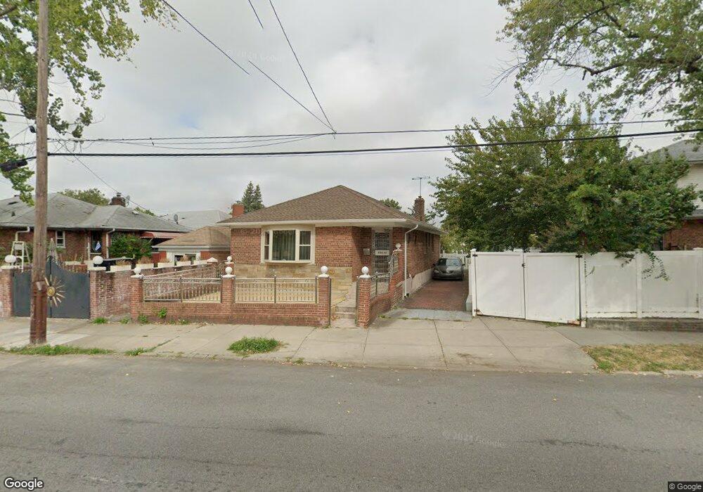
20011 35th Ave Bayside, NY 11361
Auburndale NeighborhoodEstimated Value: $920,854 - $1,096,000
Studio
--
Bath
1,202
Sq Ft
$840/Sq Ft
Est. Value
About This Home
This home is located at 20011 35th Ave, Bayside, NY 11361 and is currently estimated at $1,010,214, approximately $840 per square foot. 20011 35th Ave is a home located in Queens County with nearby schools including P.S. 159 Queens, I.S. 25 Adrien Block, and Bayside High School.
Ownership History
Date
Name
Owned For
Owner Type
Purchase Details
Closed on
May 20, 1997
Sold by
Traina Philip and Traina Louise
Bought by
Mushtaq Ahmad and Faizy Farida
Current Estimated Value
Home Financials for this Owner
Home Financials are based on the most recent Mortgage that was taken out on this home.
Original Mortgage
$166,000
Interest Rate
7.86%
Create a Home Valuation Report for This Property
The Home Valuation Report is an in-depth analysis detailing your home's value as well as a comparison with similar homes in the area
Home Values in the Area
Average Home Value in this Area
Purchase History
| Date | Buyer | Sale Price | Title Company |
|---|---|---|---|
| Mushtaq Ahmad | $222,000 | Chicago Title Insurance Co |
Source: Public Records
Mortgage History
| Date | Status | Borrower | Loan Amount |
|---|---|---|---|
| Previous Owner | Mushtaq Ahmad | $166,000 |
Source: Public Records
Tax History
| Year | Tax Paid | Tax Assessment Tax Assessment Total Assessment is a certain percentage of the fair market value that is determined by local assessors to be the total taxable value of land and additions on the property. | Land | Improvement |
|---|---|---|---|---|
| 2025 | $9,875 | $52,116 | $10,506 | $41,610 |
| 2024 | $9,875 | $49,166 | $10,216 | $38,950 |
| 2023 | $9,363 | $46,615 | $10,656 | $35,959 |
| 2022 | $8,779 | $52,260 | $12,180 | $40,080 |
| 2021 | $9,255 | $55,200 | $12,180 | $43,020 |
| 2020 | $9,193 | $52,440 | $12,180 | $40,260 |
| 2019 | $8,571 | $52,980 | $12,180 | $40,800 |
| 2018 | $7,919 | $38,846 | $9,033 | $29,813 |
| 2017 | $7,471 | $36,648 | $9,699 | $26,949 |
| 2016 | $7,326 | $36,648 | $9,699 | $26,949 |
| 2015 | $3,950 | $36,192 | $12,318 | $23,874 |
| 2014 | $3,950 | $34,144 | $12,171 | $21,973 |
Source: Public Records
Map
Nearby Homes
- 36-20 194th St Unit 3r
- 3617 194th St
- 34-12 192nd St
- 35-27 203rd St
- 37-02 Francis Lewis Blvd
- 37-08 Francis Lewis Blvd
- 37-6 Francis Lewis Blvd
- 36- 40 201st St Unit A, B, C
- 20206 33rd Ave
- 195-31 39th Ave
- 195-33 39th Ave
- 35-05 204th St Unit 245
- 204-12 35th Ave Unit 254
- 34-32 205th St
- 20403 36th Ave Unit 397
- 3314 204th St
- 35-12 205th St Unit 259
- 204-11 34th Ave
- 193-02 39th Ave Unit 1
- 35-42 205th St Unit 288
- 3459 200th St
- 3458 201st St
- 3454 201st St
- 3455 200th St
- 20003 35th Ave
- 3450 201st St
- 3449 200th St
- 34-49 200th St Unit 2FL
- 3447 200th St
- 3446 201st St
- 20014 35th Ave Unit Upper
- 20014 35th Ave Unit 230
- 20014 35th Ave Unit 228
- 200-10 35th Ave Unit 224
- 200-10 35th Ave
- 200-10 35th Ave Unit Lower
- 200-10 35th Ave Unit 226
- 20004 35th Ave Unit 222
- 20004 35th Ave
- 20004 35th Ave Unit 200-04
Your Personal Tour Guide
Ask me questions while you tour the home.