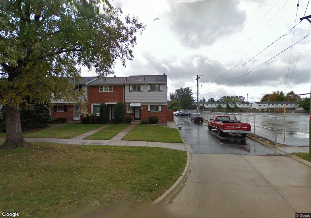
20012 15 Mile Rd Clinton Township, MI 48035
Estimated Value: $92,000 - $119,000
--
Bed
1
Bath
1,028
Sq Ft
$103/Sq Ft
Est. Value
About This Home
This home is located at 20012 15 Mile Rd, Clinton Township, MI 48035 and is currently estimated at $105,692, approximately $102 per square foot. 20012 15 Mile Rd is a home located in Macomb County with nearby schools including Clintondale High School and St. Thecla Catholic School.
Ownership History
Date
Name
Owned For
Owner Type
Purchase Details
Closed on
Mar 20, 2015
Sold by
Herriges Carol and York Towne Houses Improvement
Bought by
Trademark Properties Of Michigan Llc
Current Estimated Value
Purchase Details
Closed on
Oct 12, 2012
Sold by
Herriges Carol
Bought by
Jpmorgan Chase Bank Na
Purchase Details
Closed on
Dec 22, 2000
Sold by
Theisen Linda
Bought by
Herriges Carol
Home Financials for this Owner
Home Financials are based on the most recent Mortgage that was taken out on this home.
Original Mortgage
$69,330
Interest Rate
6.91%
Purchase Details
Closed on
Nov 14, 1996
Sold by
Sheika S
Bought by
Theisen L
Create a Home Valuation Report for This Property
The Home Valuation Report is an in-depth analysis detailing your home's value as well as a comparison with similar homes in the area
Home Values in the Area
Average Home Value in this Area
Purchase History
| Date | Buyer | Sale Price | Title Company |
|---|---|---|---|
| Trademark Properties Of Michigan Llc | $2,906 | None Available | |
| Jpmorgan Chase Bank Na | $12,400 | None Available | |
| Herriges Carol | $69,375 | -- | |
| Theisen L | $46,000 | -- |
Source: Public Records
Mortgage History
| Date | Status | Borrower | Loan Amount |
|---|---|---|---|
| Previous Owner | Herriges Carol | $69,330 |
Source: Public Records
Tax History Compared to Growth
Tax History
| Year | Tax Paid | Tax Assessment Tax Assessment Total Assessment is a certain percentage of the fair market value that is determined by local assessors to be the total taxable value of land and additions on the property. | Land | Improvement |
|---|---|---|---|---|
| 2025 | $945 | $40,000 | $0 | $0 |
| 2024 | $576 | $38,300 | $0 | $0 |
| 2023 | $546 | $31,300 | $0 | $0 |
| 2022 | $851 | $29,400 | $0 | $0 |
| 2021 | $828 | $24,100 | $0 | $0 |
| 2020 | $738 | $22,100 | $0 | $0 |
| 2019 | $939 | $20,000 | $0 | $0 |
| 2018 | $1,160 | $19,500 | $0 | $0 |
| 2017 | $1,086 | $17,900 | $3,000 | $14,900 |
| 2016 | $1,784 | $17,900 | $0 | $0 |
| 2015 | -- | $15,700 | $0 | $0 |
| 2014 | -- | $16,300 | $0 | $0 |
| 2011 | -- | $23,800 | $0 | $23,800 |
Source: Public Records
Map
Nearby Homes
- 20011 Abrahm St
- 0000 Garfield
- 20176 15 Mile Rd
- 20174 Abrahm St
- 34606 Beaconsfield St
- 20309 Abrahm St
- 34559 Chope Place
- 19793 Electra St
- 35403 Seville St
- 35501 Griswald St
- 20410 Woodward St
- 35375 Groesbeck Hwy
- 20550 Vermander Ave
- 34161 Beaconsfield St
- 35685 Griswald St
- 20219 Finley St
- 34029 Little MacK Ave
- 19578 Opal St
- 35903 Little MacK Ave
- 19573 Heckman St
- 20016 15 Mile Rd
- 20020 15 Mile Rd
- 20024 15 Mile Rd
- 20028 15 Mile Rd
- 20032 15 Mile Rd
- 19827 Susan Ct
- 19829 Susan Ct
- 20036 15 Mile Rd
- 19831 Susan Ct
- 19833 Susan Ct
- 20040 15 Mile Rd
- 19825 Susan Ct
- 19835 Susan Ct
- 19823 Susan Ct
- 20044 15 Mile Rd
- 19839 Susan Ct
- 19821 Susan Ct
- 19843 Susan Ct
- 20048 15 Mile Rd
- 19819 Susan Ct