20016 NE 101st Loop Battle Ground, WA 98604
Estimated Value: $746,214 - $874,000
4
Beds
3
Baths
2,867
Sq Ft
$292/Sq Ft
Est. Value
About This Home
This home is located at 20016 NE 101st Loop, Battle Ground, WA 98604 and is currently estimated at $835,804, approximately $291 per square foot. 20016 NE 101st Loop is a home located in Clark County with nearby schools including Maple Grove Primary School, Prairie High School, and Firm Foundation Christian School.
Ownership History
Date
Name
Owned For
Owner Type
Purchase Details
Closed on
Dec 23, 1998
Sold by
Davis Tudor F and Davis Betty M
Bought by
Winterlake Llc
Current Estimated Value
Home Financials for this Owner
Home Financials are based on the most recent Mortgage that was taken out on this home.
Original Mortgage
$175,950
Outstanding Balance
$40,416
Interest Rate
6.91%
Estimated Equity
$795,388
Purchase Details
Closed on
Dec 17, 1998
Sold by
Winterlake Llc
Bought by
Simpson Shaun B and Simpson Kayle M
Home Financials for this Owner
Home Financials are based on the most recent Mortgage that was taken out on this home.
Original Mortgage
$175,950
Outstanding Balance
$40,416
Interest Rate
6.91%
Estimated Equity
$795,388
Create a Home Valuation Report for This Property
The Home Valuation Report is an in-depth analysis detailing your home's value as well as a comparison with similar homes in the area
Home Values in the Area
Average Home Value in this Area
Purchase History
| Date | Buyer | Sale Price | Title Company |
|---|---|---|---|
| Winterlake Llc | -- | Charter Title Corporation | |
| Simpson Shaun B | $57,500 | Charter Title Corporation |
Source: Public Records
Mortgage History
| Date | Status | Borrower | Loan Amount |
|---|---|---|---|
| Open | Simpson Shaun B | $175,950 |
Source: Public Records
Tax History Compared to Growth
Tax History
| Year | Tax Paid | Tax Assessment Tax Assessment Total Assessment is a certain percentage of the fair market value that is determined by local assessors to be the total taxable value of land and additions on the property. | Land | Improvement |
|---|---|---|---|---|
| 2025 | $5,455 | $640,006 | $188,956 | $451,050 |
| 2024 | $4,927 | $621,374 | $188,956 | $432,418 |
| 2023 | $5,560 | $631,353 | $188,956 | $442,397 |
| 2022 | $4,779 | $652,392 | $188,894 | $463,498 |
| 2021 | $4,863 | $520,273 | $150,740 | $369,533 |
| 2020 | $4,908 | $483,092 | $143,403 | $339,689 |
| 2019 | $4,136 | $478,274 | $150,740 | $327,534 |
| 2018 | $4,985 | $461,483 | $0 | $0 |
| 2017 | $4,041 | $425,280 | $0 | $0 |
| 2016 | $4,069 | $374,213 | $0 | $0 |
| 2015 | $4,088 | $347,547 | $0 | $0 |
| 2014 | -- | $332,705 | $0 | $0 |
| 2013 | -- | $309,555 | $0 | $0 |
Source: Public Records
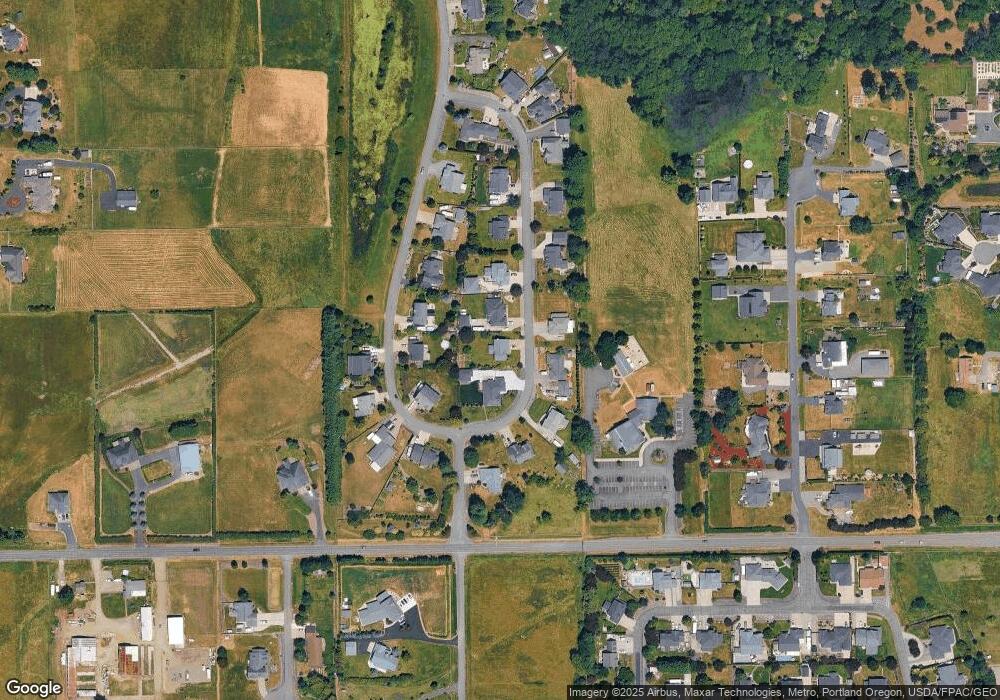
Map
Nearby Homes
- 20204 NE 104th Ave
- 10400 NE 197th St
- 1019 SW 27th Ct
- 2213 SW 10th St
- 10704 NE 189th St
- 4102 NE 187th St Unit LOT 289
- 2507 SW 5th Way
- 1707 SW 25th Cir
- 2307 SW 5th Cir
- 2301 SW 5th Cir
- 2111 SW 5th St
- 2514 W Main St
- 1816 SW 6th St
- 1513 SW 6th St
- 1711 SW 3rd St
- 1512 SW 5th St
- 502 SW 15th Ave
- 11700 NE 185th St
- 18001 NE 110th Ave
- 344 NW 29th Way
- 20010 NE 101st Loop
- 20019 NE 101st Ave
- 20013 NE 101st Ave
- 20105 NE 101st Ave
- 20101 NE 101st Loop
- 20015 NE 101st Loop
- 20112 NE 101st Loop
- 20111 NE 101st Ave
- 20011 NE 101st Loop
- 20113 NE 101st Loop
- 20007 NE 101st Loop
- 20204 NE 101st Loop
- 20000 NE 101st Ave
- 20001 NE 101st Ave
- 20203 NE 101st Ave
- 20018 NE 101st Ave
- 20012 NE 101st Ave
- 20006 NE 101st Ave
- 20205 NE 101st Loop
- 20210 NE 101st Loop