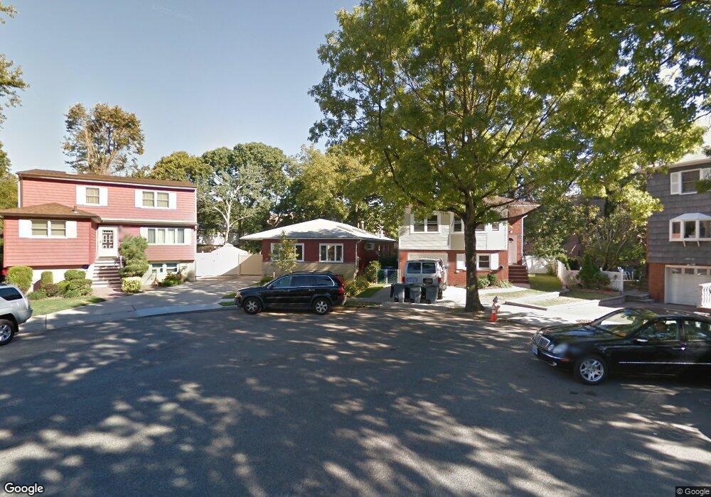
20019 Pompeii Rd Hollis, NY 11423
Holliswood NeighborhoodEstimated Value: $922,220 - $1,387,000
--
Bed
--
Bath
1,190
Sq Ft
$1,007/Sq Ft
Est. Value
About This Home
This home is located at 20019 Pompeii Rd, Hollis, NY 11423 and is currently estimated at $1,197,805, approximately $1,006 per square foot. 20019 Pompeii Rd is a home located in Queens County with nearby schools including The Bellaire School, Jean Nuzzi Intermediate School, and The Wellspring Schools.
Ownership History
Date
Name
Owned For
Owner Type
Purchase Details
Closed on
Jun 24, 2022
Sold by
Mary Belton Mincy Trustee
Bought by
Gretchen Mincy-Vieira Trustee and The Mincy 2022 Irrevocable Trust
Current Estimated Value
Purchase Details
Closed on
May 20, 2009
Sold by
Mincy Mary Belton
Bought by
Mary Belton Mincy Trustor and The Mincy Truste, Dated 05/20/2009
Purchase Details
Closed on
Oct 11, 1996
Sold by
Mincy Billy and Mincy Mary Belton
Bought by
Mincy Mary Belton
Create a Home Valuation Report for This Property
The Home Valuation Report is an in-depth analysis detailing your home's value as well as a comparison with similar homes in the area
Home Values in the Area
Average Home Value in this Area
Purchase History
| Date | Buyer | Sale Price | Title Company |
|---|---|---|---|
| Gretchen Mincy-Vieira Trustee | -- | -- | |
| Mary Belton Mincy Trustor | -- | -- | |
| Mincy Mary Belton | -- | -- |
Source: Public Records
Tax History Compared to Growth
Tax History
| Year | Tax Paid | Tax Assessment Tax Assessment Total Assessment is a certain percentage of the fair market value that is determined by local assessors to be the total taxable value of land and additions on the property. | Land | Improvement |
|---|---|---|---|---|
| 2025 | $9,350 | $50,829 | $18,916 | $31,913 |
| 2024 | $9,362 | $47,952 | $16,768 | $31,184 |
| 2023 | $9,107 | $46,742 | $17,097 | $29,645 |
| 2022 | $8,561 | $46,740 | $20,520 | $26,220 |
| 2021 | $9,032 | $49,980 | $20,520 | $29,460 |
| 2020 | $8,670 | $49,260 | $20,520 | $28,740 |
| 2019 | $8,066 | $45,240 | $20,520 | $24,720 |
| 2018 | $7,643 | $38,952 | $15,104 | $23,848 |
| 2017 | $7,230 | $36,936 | $16,491 | $20,445 |
| 2016 | $7,074 | $36,936 | $16,491 | $20,445 |
| 2015 | $3,983 | $35,298 | $20,140 | $15,158 |
| 2014 | $3,983 | $33,300 | $22,800 | $10,500 |
Source: Public Records
Map
Nearby Homes
- 8730 204th St Unit A61
- 87-30 204th St Unit B48
- 87-30 204th St Unit A-78
- 87-30 204th St Unit B55
- 87-50 204 St Unit B46
- 87-50 204 St Unit A72
- 87-50 204th St Unit A66
- 87-50 204 St Unit B74
- 8750 204th St Unit A72
- 87-15 204th St Unit B57
- 8719 204th St Unit A41
- 87-10 204th St Unit B-28
- 87-10 204th St Unit A-62
- 86-70 Francis Lewis Blvd Unit A-44
- 86-70 Francis Lewis Blvd Unit A55
- 86-70 Francis Lewis Blvd Unit A-13
- 202 -35 Foothill Ave Unit B42
- 87-40 Francis Lewis Blvd Unit A76
- 87-40 Francis Lewis Blvd Unit B-42
- 87-40 Francis Lewis Blvd Unit B4
- 20023 Pompeii Rd
- 20015 Pompeii Rd
- 20027 Pompeii Rd
- 20011 Pompeii Rd
- 20024 Keno Ave
- 20020 Keno Ave
- 200-20 Keno Ave
- 8715 Dunton St
- 20007 Pompeii Rd
- 8730 204th St Unit B-26
- 8730 204th St Unit A-38
- 8730 204th St Unit B-37
- 8730 204th St Unit A-35
- 8730 204th St Unit B71
- 8730 204th St Unit A-65
- 8730 204th St Unit A-77
- 8730 204th St Unit A-56
- 8730 204th St Unit B25
- 8730 204th St Unit B74
- 8730 204th St Unit A-63