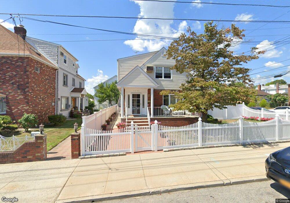
2002 147th St Whitestone, NY 11357
Whitestone NeighborhoodEstimated Value: $1,146,000 - $1,459,000
Studio
--
Bath
1,808
Sq Ft
$705/Sq Ft
Est. Value
About This Home
This home is located at 2002 147th St, Whitestone, NY 11357 and is currently estimated at $1,273,743, approximately $704 per square foot. 2002 147th St is a home located in Queens County with nearby schools including P.S. 79 - Francis Lewis, Jhs 185 Edward Bleeker, and Flushing High School.
Ownership History
Date
Name
Owned For
Owner Type
Purchase Details
Closed on
Jun 27, 2001
Sold by
Gatti Philip and Gatti Eva
Bought by
Cunningham Kevin and Cunningham Patricia
Current Estimated Value
Home Financials for this Owner
Home Financials are based on the most recent Mortgage that was taken out on this home.
Original Mortgage
$50,000
Outstanding Balance
$19,102
Interest Rate
7.18%
Estimated Equity
$1,254,641
Create a Home Valuation Report for This Property
The Home Valuation Report is an in-depth analysis detailing your home's value as well as a comparison with similar homes in the area
Home Values in the Area
Average Home Value in this Area
Purchase History
| Date | Buyer | Sale Price | Title Company |
|---|---|---|---|
| Cunningham Kevin | -- | -- |
Source: Public Records
Mortgage History
| Date | Status | Borrower | Loan Amount |
|---|---|---|---|
| Open | Cunningham Kevin | $50,000 | |
| Open | Cunningham Kevin | $190,000 |
Source: Public Records
Tax History
| Year | Tax Paid | Tax Assessment Tax Assessment Total Assessment is a certain percentage of the fair market value that is determined by local assessors to be the total taxable value of land and additions on the property. | Land | Improvement |
|---|---|---|---|---|
| 2025 | $10,369 | $56,207 | $9,810 | $46,397 |
| 2024 | $10,381 | $53,026 | $10,180 | $42,846 |
| 2023 | $9,767 | $50,026 | $9,506 | $40,520 |
| 2022 | $9,700 | $80,940 | $14,640 | $66,300 |
| 2021 | $10,153 | $68,040 | $14,640 | $53,400 |
| 2020 | $9,618 | $64,200 | $14,640 | $49,560 |
| 2019 | $8,951 | $70,380 | $14,640 | $55,740 |
| 2018 | $8,200 | $41,688 | $9,632 | $32,056 |
| 2017 | $8,198 | $41,688 | $10,111 | $31,577 |
| 2016 | $7,961 | $41,688 | $10,111 | $31,577 |
| 2015 | $4,612 | $39,033 | $13,492 | $25,541 |
| 2014 | $4,612 | $36,824 | $14,590 | $22,234 |
Source: Public Records
Map
Nearby Homes
- 147-16 20th Ave
- 15-43 144th St
- 149-20 17th Ave
- 1537 144th St
- 22-01 149th St
- 16-11 149th St
- 14712 15th Dr
- 2023 Whitestone Expy
- 21-12 144th St
- 1620 150th St
- 14718 24th Ave
- 14940 15th Dr
- 1535 149th St
- 1527 149th St
- 145-04 14th Ave
- 14315 22nd Rd
- 14632 Willets Point Blvd
- 1352 145th Place
- 150-27 16th Rd
- 15040 16th Rd
- 2006 147th St
- 14640 20th Ave
- 1920 147th St
- 14636 20th Ave
- 20-16 147th St
- 2016 147th St
- 146-41 20th Rd
- 2016 147th St
- 146-32 20th Ave
- 14641 20th Rd
- 14702 20th Ave
- 14639 20th Ave
- 14632 20th Ave
- 19-16 147th St
- 1916 147th St
- 14569 20th Ave
- 14635 20th Ave
- 14628 20th Ave
- 20-11 147th St
- 14565 20th Ave Unit 2F
Your Personal Tour Guide
Ask me questions while you tour the home.