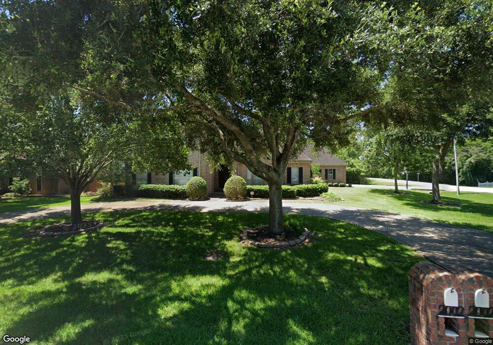
2002 Airline Dr Friendswood, TX 77546
Estimated Value: $671,000 - $1,019,000
4
Beds
4
Baths
3,863
Sq Ft
$216/Sq Ft
Est. Value
About This Home
This home is located at 2002 Airline Dr, Friendswood, TX 77546 and is currently estimated at $832,964, approximately $215 per square foot. 2002 Airline Dr is a home located in Galveston County with nearby schools including Westwood Elementary School, Zue S. Bales Intermediate School, and Friendswood Junior High School.
Ownership History
Date
Name
Owned For
Owner Type
Purchase Details
Closed on
Dec 12, 2020
Sold by
Burell Clyde Robert
Bought by
Burell Sandra Elizabeth
Current Estimated Value
Purchase Details
Closed on
Jun 9, 2015
Sold by
Fournier Raymound B and Fournier Jill C
Bought by
Gonzalez Burell Sandra and Burell Clyde Robert
Home Financials for this Owner
Home Financials are based on the most recent Mortgage that was taken out on this home.
Original Mortgage
$418,000
Interest Rate
3.7%
Mortgage Type
New Conventional
Purchase Details
Closed on
Jul 6, 2008
Sold by
Fournier Raymond B and Fournier Jill C
Bought by
Fournier Raymond B and Fournier Jill C
Create a Home Valuation Report for This Property
The Home Valuation Report is an in-depth analysis detailing your home's value as well as a comparison with similar homes in the area
Home Values in the Area
Average Home Value in this Area
Purchase History
| Date | Buyer | Sale Price | Title Company |
|---|---|---|---|
| Burell Sandra Elizabeth | -- | None Available | |
| Gonzalez Burell Sandra | -- | Startex Title Company | |
| Fournier Raymond B | -- | None Available |
Source: Public Records
Mortgage History
| Date | Status | Borrower | Loan Amount |
|---|---|---|---|
| Previous Owner | Gonzalez Burell Sandra | $418,000 |
Source: Public Records
Tax History Compared to Growth
Tax History
| Year | Tax Paid | Tax Assessment Tax Assessment Total Assessment is a certain percentage of the fair market value that is determined by local assessors to be the total taxable value of land and additions on the property. | Land | Improvement |
|---|---|---|---|---|
| 2025 | $11,239 | $675,090 | $560,230 | $114,860 |
| 2024 | $11,239 | $675,090 | $182,690 | $492,400 |
| 2023 | $11,239 | $689,121 | $0 | $0 |
| 2022 | $13,798 | $626,474 | $0 | $0 |
| 2021 | $13,302 | $632,170 | $182,690 | $449,480 |
| 2020 | $12,473 | $545,510 | $182,690 | $362,820 |
| 2019 | $11,952 | $514,770 | $70,510 | $444,260 |
| 2018 | $10,929 | $427,890 | $70,510 | $357,380 |
| 2017 | $13,369 | $514,770 | $70,510 | $444,260 |
| 2016 | $13,368 | $514,760 | $70,510 | $444,250 |
| 2015 | $3,919 | $496,070 | $70,510 | $425,560 |
| 2014 | $3,690 | $392,180 | $70,510 | $321,670 |
Source: Public Records
Map
Nearby Homes
- 204 Oak Dr
- 611 Oak Dr
- 110 Century Dr
- 2204 Airline Dr
- 1904 Candlelight Ct
- 1811 Hunt Dr
- 2207 Pine Dr
- 2316 Durango Bend Ln
- 2405 Pebble Lodge Ln
- 120 Bandera Creek Ln
- 314 Parkwood Village Dr
- 417 Forest Pines Ct
- 933 Groundwater Way
- 938 Groundwater Way
- 124 Lamar Canyon Ln
- 650 Oak Dr
- 506 Lakeside Ln
- 604 N Clear Creek Dr
- 2517 Mountain Falls Ct
- 505 Hunters Ln