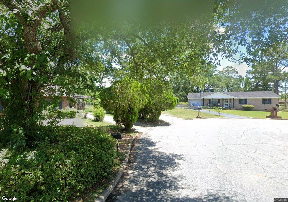
2002 Beachview Dr Albany, GA 31705
Estimated Value: $82,000 - $97,000
3
Beds
2
Baths
1,378
Sq Ft
$65/Sq Ft
Est. Value
About This Home
This home is located at 2002 Beachview Dr, Albany, GA 31705 and is currently estimated at $89,047, approximately $64 per square foot. 2002 Beachview Dr is a home located in Dougherty County with nearby schools including Robert H. Harvey Elementary School, Albany Middle School, and Dougherty Comprehensive High School.
Ownership History
Date
Name
Owned For
Owner Type
Purchase Details
Closed on
Aug 17, 2005
Sold by
Woods Sue P
Bought by
Mccray Floyd C
Current Estimated Value
Home Financials for this Owner
Home Financials are based on the most recent Mortgage that was taken out on this home.
Original Mortgage
$67,316
Outstanding Balance
$35,317
Interest Rate
5.64%
Mortgage Type
VA
Estimated Equity
$53,730
Purchase Details
Closed on
Dec 8, 1998
Sold by
Cross Family Limited
Bought by
Woods Sue P
Purchase Details
Closed on
Oct 1, 1992
Sold by
Cross Reese W
Bought by
Cross Family Ltd
Purchase Details
Closed on
Dec 1, 1991
Sold by
Finlay Limited
Bought by
Cross Reese W
Purchase Details
Closed on
Dec 4, 1984
Sold by
Pacer Constr Corp
Bought by
Finlay Fred W
Purchase Details
Closed on
Dec 19, 1900
Sold by
Finlay Limited
Bought by
Cross Reese W
Create a Home Valuation Report for This Property
The Home Valuation Report is an in-depth analysis detailing your home's value as well as a comparison with similar homes in the area
Home Values in the Area
Average Home Value in this Area
Purchase History
| Date | Buyer | Sale Price | Title Company |
|---|---|---|---|
| Mccray Floyd C | $65,900 | -- | |
| Woods Sue P | $33,000 | -- | |
| Cross Family Ltd | -- | -- | |
| Cross Reese W | $130,000 | -- | |
| Finlay Fred W | -- | -- | |
| Cross Reese W | $130,000 | -- |
Source: Public Records
Mortgage History
| Date | Status | Borrower | Loan Amount |
|---|---|---|---|
| Open | Mccray Floyd C | $67,316 |
Source: Public Records
Tax History Compared to Growth
Tax History
| Year | Tax Paid | Tax Assessment Tax Assessment Total Assessment is a certain percentage of the fair market value that is determined by local assessors to be the total taxable value of land and additions on the property. | Land | Improvement |
|---|---|---|---|---|
| 2024 | $1,101 | $25,080 | $2,000 | $23,080 |
| 2023 | $237 | $25,080 | $2,000 | $23,080 |
| 2022 | $1,079 | $25,080 | $2,000 | $23,080 |
| 2021 | $1,001 | $25,080 | $2,000 | $23,080 |
| 2020 | $1,003 | $25,080 | $2,000 | $23,080 |
| 2019 | $1,007 | $25,080 | $2,000 | $23,080 |
| 2018 | $1,011 | $25,080 | $2,000 | $23,080 |
| 2017 | $942 | $25,080 | $2,000 | $23,080 |
| 2016 | $942 | $25,080 | $2,000 | $23,080 |
| 2015 | $945 | $25,080 | $2,000 | $23,080 |
| 2014 | $951 | $25,520 | $2,440 | $23,080 |
Source: Public Records
Map
Nearby Homes
- 1405 Westcliff Ct
- 1412 Westcliff Ct
- 1616 Cromartie Beach Dr
- 1500 Evelyn Ave
- 1604, 1606, 1607 Cromartie Beach Dr
- 1978 S Riverview Cir
- 1980 S Riverview Cir
- 1982 S Riverview Cir
- 1901 S Flintlock Dr
- 1200 River Pointe Dr
- 1312 River Pointe Dr
- 1408 River Pointe Dr
- 1812 River Pointe Dr
- 1901 River Pointe Dr
- 1810 River Pointe Dr
- 1710 River Pointe Dr
- 1712 River Pointe Dr
- 1706 River Pointe Dr
- 1608 River Pointe Dr
- 1610 River Pointe Dr
- 2000 Beachview Dr
- 2004 Beachview Dr
- 1400 Westcliff Ct
- 2006 Beachview Dr
- 1401 Westcliff Ct
- 2001 Beachview Dr
- 1402 Westcliff Ct
- 2008 Beachview Dr
- 2003 Beachview Dr
- 2005 Beachview Dr
- 1403 Westcliff Ct
- 2007 Beachview Dr
- 2010 Beachview Dr
- 1404 Westcliff Ct
- 2001 Coves Ct
- 2012 Beachview Dr
- 2011 Beachview Dr
- 1406 Westcliff Ct
- 2003 Coves Ct
- 1407 Westcliff Ct