2002 Blue Fox Ln Hammonton, NJ 08037
Estimated Value: $276,000 - $720,000
3
Beds
2
Baths
1,368
Sq Ft
$302/Sq Ft
Est. Value
About This Home
This home is located at 2002 Blue Fox Ln, Hammonton, NJ 08037 and is currently estimated at $413,484, approximately $302 per square foot. 2002 Blue Fox Ln is a home located in Atlantic County with nearby schools including Joseph Shaner School, George L. Hess Educational Complex, and William Davies Middle School.
Ownership History
Date
Name
Owned For
Owner Type
Purchase Details
Closed on
Oct 18, 2012
Sold by
Mazzagatti Terri L
Bought by
Morris Joseph P
Current Estimated Value
Purchase Details
Closed on
Nov 19, 1999
Sold by
Turis Ernestine and Turis John
Bought by
Morris Joseph Patrick and Mazzagatti Terri Lynn
Home Financials for this Owner
Home Financials are based on the most recent Mortgage that was taken out on this home.
Original Mortgage
$97,198
Interest Rate
7.77%
Mortgage Type
FHA
Create a Home Valuation Report for This Property
The Home Valuation Report is an in-depth analysis detailing your home's value as well as a comparison with similar homes in the area
Home Values in the Area
Average Home Value in this Area
Purchase History
| Date | Buyer | Sale Price | Title Company |
|---|---|---|---|
| Morris Joseph P | -- | None Available | |
| Morris Joseph Patrick | $98,000 | Fidelity National Title |
Source: Public Records
Mortgage History
| Date | Status | Borrower | Loan Amount |
|---|---|---|---|
| Previous Owner | Morris Joseph Patrick | $97,198 |
Source: Public Records
Tax History Compared to Growth
Tax History
| Year | Tax Paid | Tax Assessment Tax Assessment Total Assessment is a certain percentage of the fair market value that is determined by local assessors to be the total taxable value of land and additions on the property. | Land | Improvement |
|---|---|---|---|---|
| 2025 | $5,496 | $160,200 | $47,100 | $113,100 |
| 2024 | $5,496 | $160,200 | $47,100 | $113,100 |
| 2023 | $5,168 | $160,200 | $47,100 | $113,100 |
| 2022 | $5,168 | $160,200 | $47,100 | $113,100 |
| 2021 | $5,157 | $160,200 | $47,100 | $113,100 |
| 2020 | $5,157 | $160,200 | $47,100 | $113,100 |
| 2019 | $5,170 | $160,200 | $47,100 | $113,100 |
| 2018 | $4,989 | $160,200 | $47,100 | $113,100 |
| 2017 | $4,910 | $160,200 | $47,100 | $113,100 |
| 2016 | $4,772 | $160,200 | $47,100 | $113,100 |
| 2015 | $4,611 | $160,200 | $47,100 | $113,100 |
| 2014 | $4,597 | $175,000 | $55,700 | $119,300 |
Source: Public Records
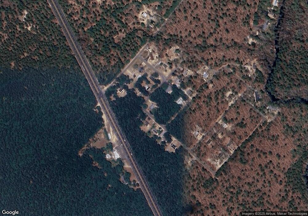
Map
Nearby Homes
- 7640 Black Horse Pike
- 2015 High Bank Rd
- 7684 E Black Horse Pike
- 7411 Black Horse Pike
- 7390 Black Horse Pike
- 1930 Mccall Ave
- 7351 Driftwood Ln
- 7417 3rd Ave
- 2216 Evergreen Dr
- 2212 Evergreen Dr
- 7415 3rd Ave
- 3117 N Pinewood Dr
- First 1st Ave
- 1601 Mccall Ave
- 7491 Smith Ave
- 1307 Black Horse Pike
- 7322 Black Horse Pike
- 1 Belmont Ave
- 7571 Strand Ave
- 1206 Black Horse Park
- 2015 Red Wing Way
- 2003 Blue Fox Ln
- 2013 Red Wing Way
- 2005 Blue Fox Ln
- 2006 Blue Fox Ln
- 2011 Red Wing Way
- 2007 Lawrence Ln
- 2009 Red Wing Way
- 2068 Skip Morgan Dr
- 2008 Blue Fox Ln
- 2070 Skip Morgan Dr
- 2007 Bear Claw Ln
- 2072 Skip Morgan Dr
- 2064 Skip Morgan Dr
- 2008 Lawrence Ln
- 2007 Red Wing Way
- 2010 Blue Fox Ln
- 2003 Deer Track Ln
- 2011 Blue Fox Ln
- 2062 Skip Morgan Dr