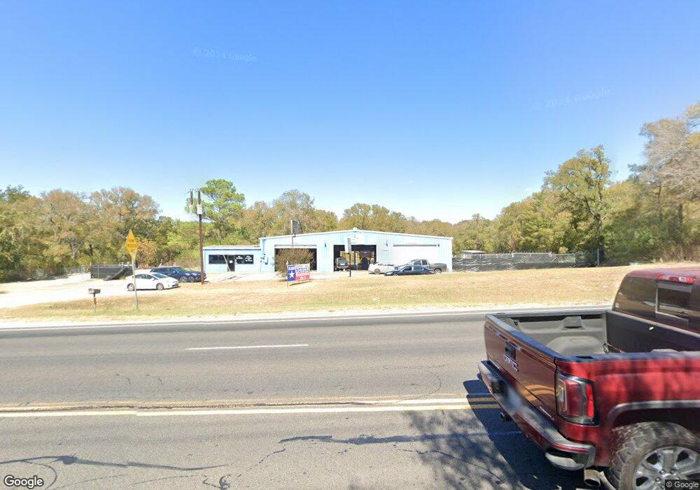
2002 Chestnut St Bastrop, TX 78602
Estimated Value: $570,876
--
Bed
--
Bath
5,425
Sq Ft
$105/Sq Ft
Est. Value
About This Home
This home is located at 2002 Chestnut St, Bastrop, TX 78602 and is currently estimated at $570,876, approximately $105 per square foot. 2002 Chestnut St is a home located in Bastrop County with nearby schools including Mina Elementary School, Bastrop Intermediate School, and Bastrop Middle School.
Ownership History
Date
Name
Owned For
Owner Type
Purchase Details
Closed on
Aug 6, 2019
Sold by
Brown Thomas and Delesio Rhee Karen
Bought by
Santibanez Jesus
Current Estimated Value
Home Financials for this Owner
Home Financials are based on the most recent Mortgage that was taken out on this home.
Original Mortgage
$195,000
Outstanding Balance
$150,173
Interest Rate
3.73%
Mortgage Type
New Conventional
Estimated Equity
$420,703
Create a Home Valuation Report for This Property
The Home Valuation Report is an in-depth analysis detailing your home's value as well as a comparison with similar homes in the area
Home Values in the Area
Average Home Value in this Area
Purchase History
| Date | Buyer | Sale Price | Title Company |
|---|---|---|---|
| Santibanez Jesus | -- | None Available |
Source: Public Records
Mortgage History
| Date | Status | Borrower | Loan Amount |
|---|---|---|---|
| Open | Santibanez Jesus | $195,000 |
Source: Public Records
Tax History Compared to Growth
Tax History
| Year | Tax Paid | Tax Assessment Tax Assessment Total Assessment is a certain percentage of the fair market value that is determined by local assessors to be the total taxable value of land and additions on the property. | Land | Improvement |
|---|---|---|---|---|
| 2025 | $6,812 | $343,798 | $142,409 | $201,389 |
| 2023 | $6,812 | $349,351 | $142,776 | $206,575 |
| 2022 | $7,138 | $328,504 | $142,776 | $185,728 |
| 2021 | $7,672 | $311,818 | $142,776 | $169,042 |
| 2020 | $7,406 | $295,652 | $142,776 | $152,876 |
| 2019 | $8,092 | $313,056 | $162,218 | $150,838 |
| 2018 | $8,324 | $320,798 | $162,218 | $158,580 |
| 2017 | $9,851 | $364,451 | $162,218 | $202,233 |
| 2016 | $7,181 | $265,650 | $162,217 | $103,433 |
| 2015 | $6,997 | $265,650 | $162,217 | $103,433 |
| 2014 | $6,997 | $265,650 | $162,217 | $103,433 |
Source: Public Records
Map
Nearby Homes
- 1804 Chestnut
- 2000 Government
- 1900 Government
- 1162 State Highway 95
- 1900 College St
- 1409 Chestnut St
- 1650 State Highway 95
- 1105 State Highway 95
- 1904 Jasper St
- TBD Fayette St
- 0 Timberforest Dr
- 2000 South St
- 2.15± AC College St
- Medina II Plan at Coleton Meadow - The Colony 50s
- Knox Plan at Coleton Meadow - The Colony 45s
- Cartwright Plan at Coleton Meadow - The Colony 45s
- Blake Plan at Coleton Meadow - The Colony 45s
- Cassidy Plan at Coleton Meadow - The Colony 45s
- Brodie Plan at Coleton Meadow - The Colony 45s
- Georgia Plan at Coleton Meadow - The Colony 45s
- 1800 Chestnut St
- 2235 Chestnut St
- 2235 Chestnut St Unit A
- 2001 Chestnut St
- 1906 Chestnut St
- 1904 Chestnut St
- 1902 Chestnut St
- 1103 Cp Johnson Ln
- 1806 Chestnut St
- 2100 Austin
- 12 Lost Pines Ave
- 1805 Chestnut St
- 1900 Walnut St
- 1900 Walnut St
- 16 Lost Pines Ave
- 18 Lost Pines Ave
- 1716 Spring St
- 0 Lost Pines Ave
- R28614 Texas 150 Loop
- 1712 Farm St