2002 Defoors Mill Dr NW Atlanta, GA 30318
Underwood Hills NeighborhoodEstimated Value: $452,000 - $475,000
3
Beds
3
Baths
1,784
Sq Ft
$258/Sq Ft
Est. Value
About This Home
This home is located at 2002 Defoors Mill Dr NW, Atlanta, GA 30318 and is currently estimated at $460,232, approximately $257 per square foot. 2002 Defoors Mill Dr NW is a home located in Fulton County with nearby schools including Brandon Elementary School, Sutton Middle School, and North Atlanta High School.
Ownership History
Date
Name
Owned For
Owner Type
Purchase Details
Closed on
Nov 30, 2012
Sold by
Carozza Vincent A
Bought by
Carozza Vincent A and Carozza Deborah M
Current Estimated Value
Home Financials for this Owner
Home Financials are based on the most recent Mortgage that was taken out on this home.
Original Mortgage
$160,000
Outstanding Balance
$111,219
Interest Rate
3.44%
Mortgage Type
New Conventional
Estimated Equity
$349,013
Purchase Details
Closed on
Dec 15, 2000
Sold by
Goetz Spencer G and Goetz Jane F
Bought by
Carozza Vincent A
Home Financials for this Owner
Home Financials are based on the most recent Mortgage that was taken out on this home.
Original Mortgage
$200,000
Interest Rate
7.81%
Purchase Details
Closed on
Dec 6, 1996
Sold by
Ashmore Dorothy A
Bought by
Goetz Spencer G Jane F
Create a Home Valuation Report for This Property
The Home Valuation Report is an in-depth analysis detailing your home's value as well as a comparison with similar homes in the area
Home Values in the Area
Average Home Value in this Area
Purchase History
| Date | Buyer | Sale Price | Title Company |
|---|---|---|---|
| Carozza Vincent A | -- | -- | |
| Carozza Vincent A | $265,000 | -- | |
| Goetz Spencer G Jane F | $167,000 | -- |
Source: Public Records
Mortgage History
| Date | Status | Borrower | Loan Amount |
|---|---|---|---|
| Open | Carozza Vincent A | $160,000 | |
| Previous Owner | Carozza Vincent A | $200,000 | |
| Closed | Goetz Spencer G Jane F | $0 |
Source: Public Records
Tax History Compared to Growth
Tax History
| Year | Tax Paid | Tax Assessment Tax Assessment Total Assessment is a certain percentage of the fair market value that is determined by local assessors to be the total taxable value of land and additions on the property. | Land | Improvement |
|---|---|---|---|---|
| 2025 | $3,865 | $191,800 | $34,280 | $157,520 |
| 2023 | $7,666 | $185,160 | $27,480 | $157,680 |
| 2022 | $4,528 | $173,680 | $31,080 | $142,600 |
| 2021 | $4,271 | $163,560 | $19,920 | $143,640 |
| 2020 | $3,753 | $140,360 | $20,640 | $119,720 |
| 2019 | $148 | $140,360 | $20,640 | $119,720 |
| 2018 | $4,513 | $140,360 | $20,640 | $119,720 |
| 2017 | $2,706 | $91,440 | $10,160 | $81,280 |
| 2016 | $2,713 | $91,440 | $10,160 | $81,280 |
| 2015 | $2,723 | $91,440 | $10,160 | $81,280 |
| 2014 | $2,201 | $77,440 | $8,600 | $68,840 |
Source: Public Records
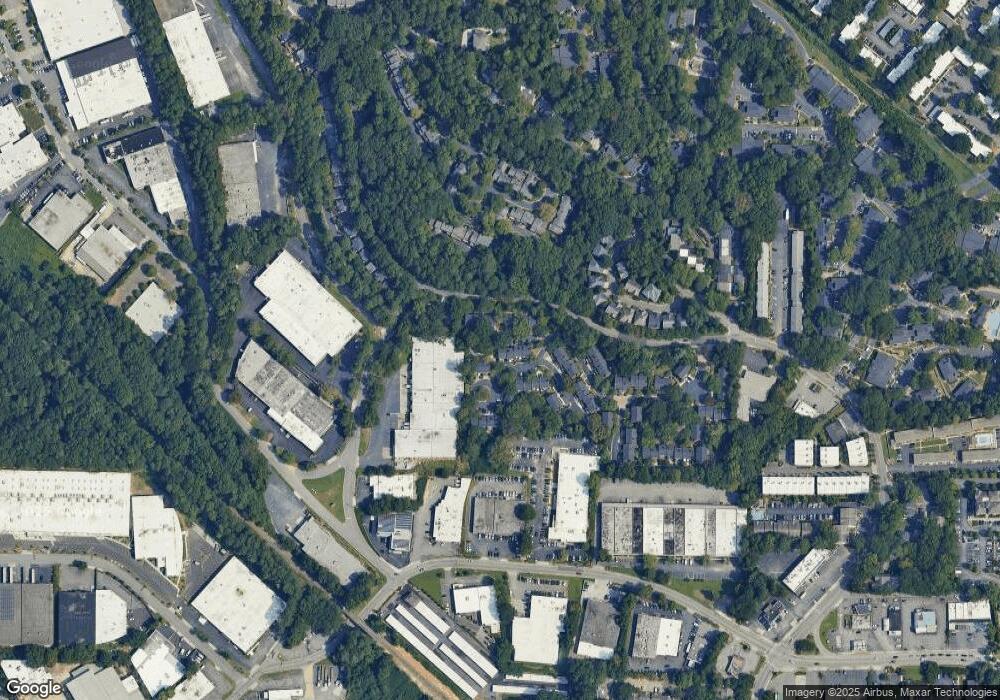
Map
Nearby Homes
- 801 Defoors Mill Cir NW
- 102 Defoors Mill Dr NW
- 1188 John Collier Rd NW
- 45 Glenald Way NW
- 166 Maribeau Square NW
- 68 Montre Square NW
- 100 Maison Ct
- 106 La Rue Place NW
- 107 La Rue Place NW
- 37 La Rue Place NW
- 46 La Rue Place NW
- 12 Vista Square NW
- 2110 Timball Rd NW
- 94 Rosaire Place NW
- 115 Rosaire Place NW
- 2316 Defoors Ferry Rd NW
- 28 Glenald Way NW
- 2111 Bellrick Rd NW
- 2001 Defoors Mill Dr NW
- 2003 Defoors Mill Dr NW
- 2004 Defoors Mill Dr NW
- 2004 Defoors Mill Dr NW Unit 2004
- 2102 Defoors Mill Dr NW
- 2103 Defoors Mill Dr NW
- 2101 Defoors Mill Dr NW
- 2104 Defoors Mill Dr NW
- 1604 Defoors Mill Ct NW
- 1603 Defoors Mill Ct NW
- 1602 Defoors Mill Ct NW
- 1901 Defoors Mill Dr NW
- 2204 Defoors Mill Dr NW
- 1601 Defoors Mill Ct NW
- 1404 Defoors Mill Dr NW Unit 1404
- 1404 Defoors Mill Dr NW
- 1902 Defoors Mill Dr NW
- 2203 Defoors Mill Dr NW
- 1403 Defoors Mill Dr NW
- 1701 Defoors Mill Ct NW