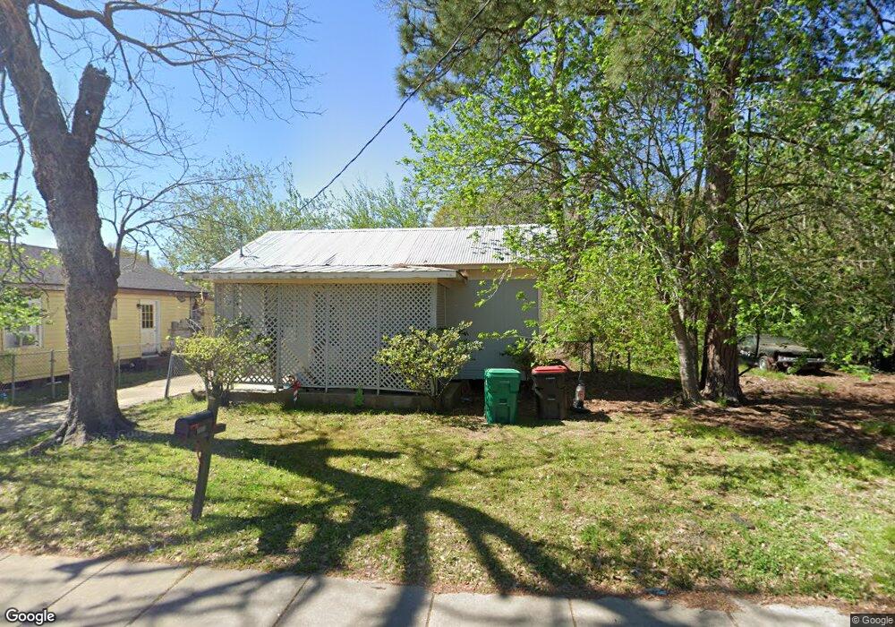
2002 E SiMcOe St Lafayette, LA 70501
Pa Davis Park NeighborhoodEstimated Value: $49,096 - $113,000
Studio
--
Bath
831
Sq Ft
$94/Sq Ft
Est. Value
About This Home
This home is located at 2002 E SiMcOe St, Lafayette, LA 70501 and is currently estimated at $78,024, approximately $93 per square foot. 2002 E SiMcOe St is a home located in Lafayette Parish with nearby schools including Dr. Raphael A. Baranco Elementary School, Paul Breaux Middle School, and Northside High School.
Ownership History
Date
Name
Owned For
Owner Type
Purchase Details
Closed on
Feb 3, 2006
Sold by
Abram Sam Edward Joseph and Abram Sam Shirley Mae
Bought by
Kahn Terry James
Current Estimated Value
Create a Home Valuation Report for This Property
The Home Valuation Report is an in-depth analysis detailing your home's value as well as a comparison with similar homes in the area
Home Values in the Area
Average Home Value in this Area
Purchase History
| Date | Buyer | Sale Price | Title Company |
|---|---|---|---|
| Kahn Terry James | $32,000 | None Available |
Source: Public Records
Tax History
| Year | Tax Paid | Tax Assessment Tax Assessment Total Assessment is a certain percentage of the fair market value that is determined by local assessors to be the total taxable value of land and additions on the property. | Land | Improvement |
|---|---|---|---|---|
| 2024 | $304 | $2,888 | $910 | $1,978 |
| 2023 | $304 | $2,840 | $910 | $1,930 |
| 2022 | $297 | $2,840 | $910 | $1,930 |
| 2021 | $298 | $2,840 | $910 | $1,930 |
| 2020 | $297 | $2,840 | $910 | $1,930 |
| 2019 | $234 | $2,840 | $910 | $1,930 |
| 2018 | $290 | $2,840 | $910 | $1,930 |
| 2017 | $290 | $2,840 | $910 | $1,930 |
| 2015 | $238 | $2,340 | $910 | $1,430 |
| 2013 | -- | $2,340 | $910 | $1,430 |
Source: Public Records
Map
Nearby Homes
- 113 Dorian Dr
- 113 Texas St
- 2100 Blk E Pinhook Rd
- 2200 Blk E Pinhook Rd
- 218 Frank St Unit A & B
- 121 N General Marshall St
- 316 E Foch St
- 750 Saint Charles St
- 1300 S Orange St
- 210 Marne St
- 823 S Sterling St
- 404 Attakapas Rd
- 304 Marne St
- 210 Lilly St
- 220 Attakapas Rd
- 1007 Carmel Dr
- 1110 Louisiana Ave
- 304 Carmel Dr
- 308 Sunnyside Ln
- 320 Sunnyside Ln
- 102 Eisenhower St
- 101 Cochrane St
- 0 E SiMcOe St
- 3605 E SiMcOe St
- 104 Eisenhower St
- 103 Cochrane St
- 2005 E SiMcOe St
- 2003 E SiMcOe St
- 106 Eisenhower St
- 108 Eisenhower St
- 105 Cochrane St
- 1914 E SiMcOe St
- 113 Gallian St
- 100 Eisenhower St
- 102 Cochrane St
- 1908 E SiMcOe St
- 115 Gallian St
- 104 Cochrane St
- 110 Eisenhower St
- 108 Champagne St