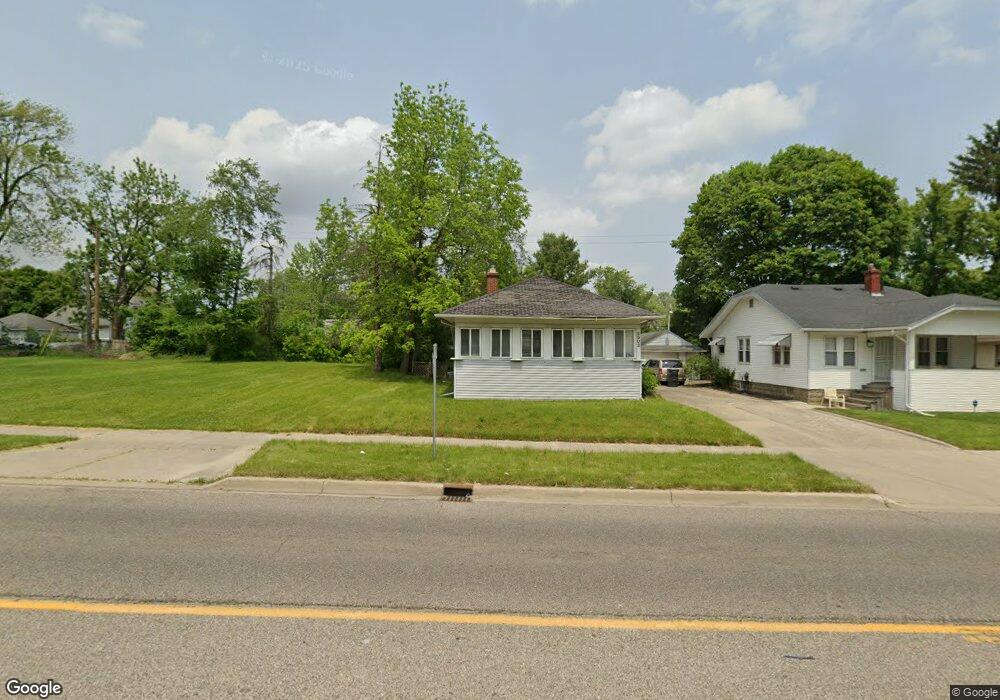
2002 Flushing Rd Flint, MI 48504
Ballenger Park NeighborhoodEstimated Value: $33,000 - $74,000
2
Beds
1
Bath
768
Sq Ft
$64/Sq Ft
Est. Value
About This Home
This home is located at 2002 Flushing Rd, Flint, MI 48504 and is currently estimated at $49,390, approximately $64 per square foot. 2002 Flushing Rd is a home with nearby schools including Durant-Tuuri-Mott Elementary School, St John Vianney Catholic School, and St. Paul Lutheran School.
Ownership History
Date
Name
Owned For
Owner Type
Purchase Details
Closed on
Oct 30, 2025
Sold by
Underwood Archia
Bought by
Underwood Cynthia
Current Estimated Value
Purchase Details
Closed on
Sep 23, 2025
Sold by
Genesee County Treasurer
Bought by
Underwood Archia
Purchase Details
Closed on
Jul 27, 2015
Sold by
Brown Shirley R
Bought by
Payne Joyce M and Rice John D
Purchase Details
Closed on
Feb 22, 2002
Sold by
Memorial Garden Sales Inc
Bought by
Brown Shirley R
Purchase Details
Closed on
Aug 20, 1999
Sold by
National Assn Us Bank
Bought by
Blatchford Joel J and Blatchford Susan K
Create a Home Valuation Report for This Property
The Home Valuation Report is an in-depth analysis detailing your home's value as well as a comparison with similar homes in the area
Home Values in the Area
Average Home Value in this Area
Purchase History
| Date | Buyer | Sale Price | Title Company |
|---|---|---|---|
| Underwood Cynthia | -- | None Listed On Document | |
| Underwood Archia | $12,250 | None Listed On Document | |
| Payne Joyce M | -- | Attorney | |
| Brown Shirley R | $59,000 | Metropolitan Title Company | |
| Memorial Garden Sales Inc | $25,000 | Metropolitan Title Company | |
| Blatchford Joel J | $17,500 | Lawyers Title |
Source: Public Records
Tax History
| Year | Tax Paid | Tax Assessment Tax Assessment Total Assessment is a certain percentage of the fair market value that is determined by local assessors to be the total taxable value of land and additions on the property. | Land | Improvement |
|---|---|---|---|---|
| 2025 | $617 | $11,300 | $0 | $0 |
| 2024 | $571 | $10,900 | $0 | $0 |
| 2023 | $569 | $9,000 | $0 | $0 |
| 2022 | $0 | $7,200 | $0 | $0 |
| 2021 | $583 | $5,800 | $0 | $0 |
| 2020 | $569 | $6,600 | $0 | $0 |
| 2019 | $562 | $6,600 | $0 | $0 |
| 2018 | $536 | $6,100 | $0 | $0 |
| 2017 | $581 | $0 | $0 | $0 |
| 2016 | $581 | $0 | $0 | $0 |
| 2015 | -- | $0 | $0 | $0 |
| 2014 | -- | $0 | $0 | $0 |
| 2012 | -- | $8,800 | $0 | $0 |
Source: Public Records
Map
Nearby Homes
- 2023 Cadillac St
- 913 Perry St
- 1900 Cadillac St
- 1016 Dupont St
- 1025 Frost St
- 1717 Wolcott St
- 971 N Chevrolet Ave
- 2410 Sloan St
- 2026 Monteith St
- 751 Dupont St
- 1409 Prospect St
- 2001 Mackin Rd
- 2513 Tiffin St
- 825 Frank St
- 2602 Sloan St
- 2008 University Ave
- 2540 Altoona St
- 1220 Forest Hill Ave
- 2547 Altoona St
- 2509 Barth St
- 2005 Sloan St
- 2001 Sloan St
- 1938 Flushing Rd
- 1934 Flushing Rd
- 2010 Flushing Rd
- 2009 Sloan St
- 1917 Sloan St
- 2013 Sloan St
- 2014 Flushing Rd
- 1953 Flushing Rd
- 2001 Flushing Rd
- 1949 Flushing Rd
- 1930 Flushing Rd
- 1909 Sloan St
- 2005 Flushing Rd
- 1924 Flushing Rd
- 1945 Flushing Rd
- 2017 Sloan St
- 2009 Flushing Rd
- 1941 Flushing Rd
Your Personal Tour Guide
Ask me questions while you tour the home.