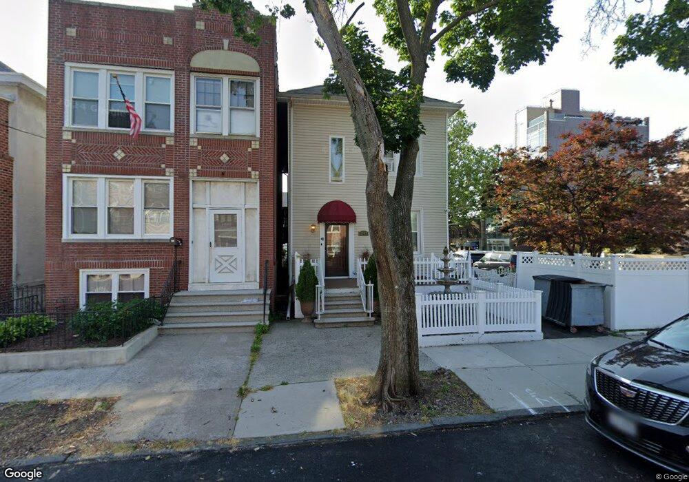
2002 Hobart Ave Bronx, NY 10461
Middletown-Pelham Bay NeighborhoodEstimated Value: $816,006 - $947,000
--
Bed
--
Bath
1,800
Sq Ft
$493/Sq Ft
Est. Value
About This Home
This home is located at 2002 Hobart Ave, Bronx, NY 10461 and is currently estimated at $887,252, approximately $492 per square foot. 2002 Hobart Ave is a home located in Bronx County with nearby schools including P.S. 71 Rose E Scala, Herbert H Lehman High School, and St. Theresa School.
Ownership History
Date
Name
Owned For
Owner Type
Purchase Details
Closed on
Dec 20, 2023
Sold by
Bernardone Elizabeth and Bernardone James
Bought by
Bernardone James and Bernardone Lorraine
Current Estimated Value
Purchase Details
Closed on
Nov 7, 2007
Sold by
Bernardone Ann and Bernardone Elizabeth
Bought by
Bernardone Elizabeth and Bernardone James
Purchase Details
Closed on
Feb 20, 2006
Sold by
Bernardone Ann and Bernardone Elizabeth
Bought by
Bernardone Ann and Bernardone Elizabeth
Purchase Details
Closed on
May 11, 2004
Sold by
Conti Anthony
Bought by
Bernardone Ann and Bernardone Elizabeth
Purchase Details
Closed on
Aug 12, 2003
Sold by
Conti Anthony
Bought by
Chizmadia As Trustee Doreen and Conti As Trustee Anthony
Create a Home Valuation Report for This Property
The Home Valuation Report is an in-depth analysis detailing your home's value as well as a comparison with similar homes in the area
Home Values in the Area
Average Home Value in this Area
Purchase History
| Date | Buyer | Sale Price | Title Company |
|---|---|---|---|
| Bernardone James | -- | -- | |
| Bernardone James | -- | -- | |
| Bernardone Elizabeth | -- | -- | |
| Bernardone Elizabeth | -- | -- | |
| Bernardone Ann | -- | -- | |
| Bernardone Ann | -- | -- | |
| Bernardone Ann | $100,000 | -- | |
| Bernardone Ann | $100,000 | -- | |
| Chizmadia As Trustee Doreen | -- | -- | |
| Chizmadia As Trustee Doreen | -- | -- |
Source: Public Records
Tax History Compared to Growth
Tax History
| Year | Tax Paid | Tax Assessment Tax Assessment Total Assessment is a certain percentage of the fair market value that is determined by local assessors to be the total taxable value of land and additions on the property. | Land | Improvement |
|---|---|---|---|---|
| 2025 | $7,808 | $41,206 | $11,869 | $29,337 |
| 2024 | $7,808 | $38,874 | $12,828 | $26,046 |
| 2023 | $7,563 | $37,238 | $11,832 | $25,406 |
| 2022 | $7,434 | $41,280 | $13,860 | $27,420 |
| 2021 | $7,660 | $40,440 | $13,860 | $26,580 |
| 2020 | $7,268 | $39,480 | $13,860 | $25,620 |
| 2019 | $6,777 | $40,680 | $13,860 | $26,820 |
| 2018 | $6,326 | $31,032 | $10,667 | $20,365 |
| 2017 | $6,326 | $31,032 | $11,148 | $19,884 |
| 2016 | $6,063 | $30,331 | $12,927 | $17,404 |
| 2015 | $3,658 | $28,615 | $13,960 | $14,655 |
| 2014 | $3,658 | $26,996 | $12,732 | $14,264 |
Source: Public Records
Map
Nearby Homes
- 2010 Hobart Ave
- 2032 Hobart Ave
- 2024 Continental Ave
- 2871 E 194th St
- 2015 Saint Paul Ave Unit 6B
- 2015 St Paul Ave Unit 3G
- 2015 Saint Paul Ave Unit 3H
- 1959B Edison Ave
- 1950 Pilgrim Ave
- 1932 Pilgrim Ave
- 1874 Pelham Pkwy S Unit 6E
- 1874 Pelham Pkwy S Unit 6M
- 1874 Pelham Pkwy S Unit 4R
- 2884 Saint Theresa Ave
- 1815 Mahan Ave
- 1910 Pelham Pkwy S Unit 5C
- 1926 Hutchinson River Pkwy E Unit E
- 1865 Mulford Ave
- 3036 Buhre Ave
- 1836 Mulford Ave
- 2004 Hobart Ave
- 2006 Hobart Ave
- 2931 Wilkinson Ave
- 2008 Hobart Ave
- 2933 Wilkinson Ave
- 1988 Hobart Ave Unit 3
- 1988 Hobart Ave
- 2010 Hobart Ave Unit 1
- 2010 Hobart Ave
- 2935 Wilkinson Ave
- 1986 Hobart Ave
- 2012 Hobart Ave
- 2928 Wilkinson Ave
- 2937 Wilkinson Ave
- 2930 E 194th St
- 2930 E 194 St
- 2005 Hobart Ave
- 1984 Hobart Ave
- 2930 Wilkinson Ave
- 2007 Hobart Ave