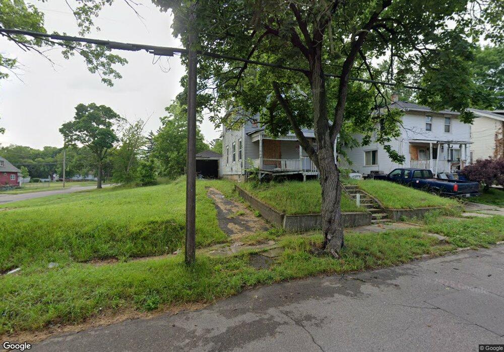
2002 Illinois Ave Flint, MI 48506
Eastside NeighborhoodEstimated Value: $73,000 - $198,000
5
Beds
2
Baths
1,576
Sq Ft
$78/Sq Ft
Est. Value
About This Home
This home is located at 2002 Illinois Ave, Flint, MI 48506 and is currently estimated at $123,333, approximately $78 per square foot. 2002 Illinois Ave is a home located in Genesee County with nearby schools including Potter School, Flint Cultural Center Academy, and WAY Academy of Flint.
Ownership History
Date
Name
Owned For
Owner Type
Purchase Details
Closed on
Jun 30, 2025
Sold by
Morse Darren
Bought by
Morse Donald and Baranowski Dakota
Current Estimated Value
Purchase Details
Closed on
Oct 23, 2023
Sold by
Genesee County Land Bank Authority
Bought by
Morse Darren
Purchase Details
Closed on
Dec 22, 2010
Sold by
Genesee County Treasurer
Bought by
Genesee County Land Bank
Purchase Details
Closed on
Jan 28, 2009
Sold by
Green Tree Servicing Llc
Bought by
Netnet Llc
Purchase Details
Closed on
Apr 18, 2007
Sold by
Daniels William F and Daniels Mary J
Bought by
Green Tree Servicing Llc and Conseco Finance Servicing Corp
Create a Home Valuation Report for This Property
The Home Valuation Report is an in-depth analysis detailing your home's value as well as a comparison with similar homes in the area
Home Values in the Area
Average Home Value in this Area
Purchase History
| Date | Buyer | Sale Price | Title Company |
|---|---|---|---|
| Morse Donald | -- | None Listed On Document | |
| Morse Darren | $175 | None Listed On Document | |
| Genesee County Land Bank | -- | None Available | |
| Netnet Llc | $750 | None Available | |
| Green Tree Servicing Llc | $44,894 | None Available |
Source: Public Records
Tax History
| Year | Tax Paid | Tax Assessment Tax Assessment Total Assessment is a certain percentage of the fair market value that is determined by local assessors to be the total taxable value of land and additions on the property. | Land | Improvement |
|---|---|---|---|---|
| 2025 | $114 | $1,600 | $0 | $0 |
| 2024 | $103 | $1,600 | $0 | $0 |
| 2023 | -- | $0 | $0 | $0 |
| 2022 | $0 | $0 | $0 | $0 |
| 2021 | $0 | $0 | $0 | $0 |
| 2020 | $0 | $0 | $0 | $0 |
| 2019 | $0 | $0 | $0 | $0 |
| 2018 | $0 | $0 | $0 | $0 |
| 2017 | $0 | $0 | $0 | $0 |
| 2016 | $0 | $0 | $0 | $0 |
| 2015 | -- | $0 | $0 | $0 |
| 2014 | -- | $0 | $0 | $0 |
| 2012 | -- | $0 | $0 | $0 |
Source: Public Records
Map
Nearby Homes
- 1622 Arlington Ave
- 1510 N Vernon Ave
- 1318 Cronk Ave
- 2301 Missouri Ave
- 1734 Missouri Ave
- 1216 Minnesota Ave
- 2415 Pennsylvania Ave
- 1609 Ohio Ave
- 2601 Illinois Ave
- 1805 Bennett Ave
- 1540 Illinois Ave
- 2426 Broadway Blvd
- 2610 Pennsylvania Ave
- 1529 Broadway Blvd
- 2605 Nebraska Ave
- 1445 Kearsley Park Blvd Kearsley Park Blvd
- 2321 Levern St
- 2211 Torrance St
- 2506 Arlington Ave
- 1721 New York Ave
- 2006 Illinois Ave
- 1618 Maplewood Ave
- 1614 Maplewood Ave
- 1610 Maplewood Ave
- 5463 Maplewood Meadows Ave
- 1606 Maplewood Ave
- 1617 Arlington Ave
- 1613 Arlington Ave
- 1617 Maplewood Ave
- 1621 Arlington Ave
- 1613 Maplewood Ave
- 1609 Arlington Ave
- 1702 Maplewood Ave
- 1609 Maplewood Ave
- 1602 Maplewood Ave
- 1605 Arlington Ave
- 1605 Maplewood Ave
- 1706 Maplewood Ave
- 1701 Arlington Ave
- 1522 Maplewood Ave
Your Personal Tour Guide
Ask me questions while you tour the home.