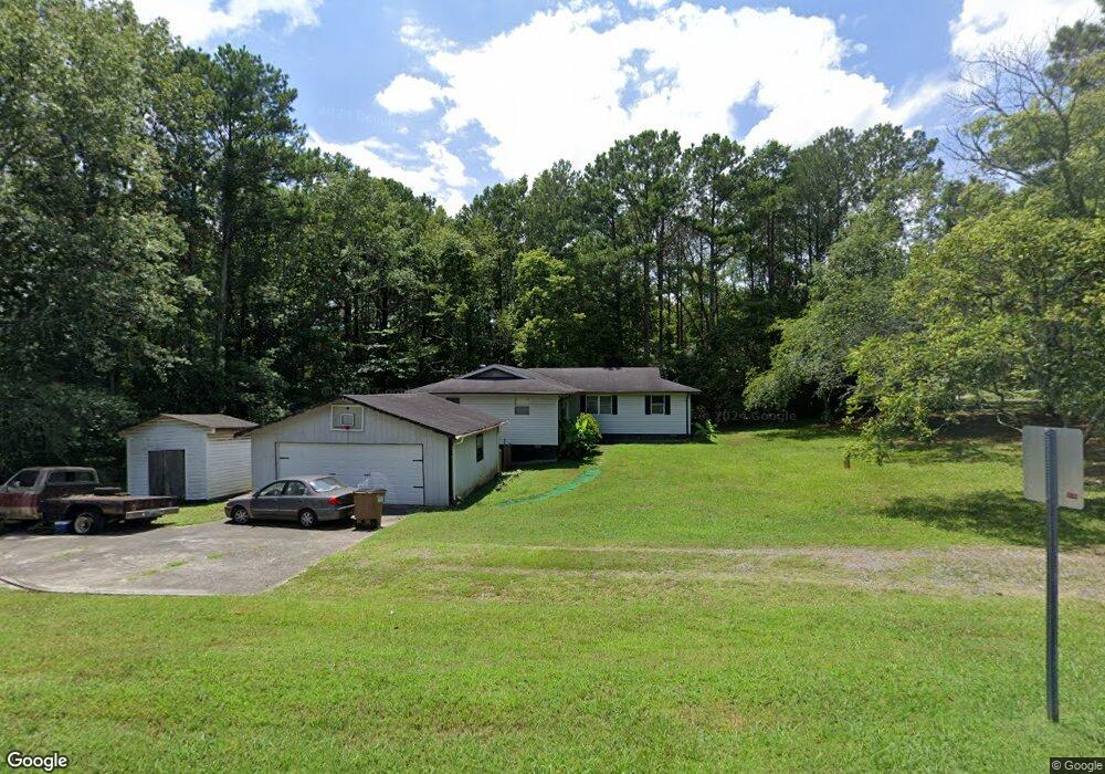
2002 Kate Ann Dr Dalton, GA 30721
Estimated Value: $212,000 - $256,000
--
Bed
2
Baths
1,881
Sq Ft
$124/Sq Ft
Est. Value
About This Home
This home is located at 2002 Kate Ann Dr, Dalton, GA 30721 and is currently estimated at $233,772, approximately $124 per square foot. 2002 Kate Ann Dr is a home located in Whitfield County with nearby schools including Cedar Ridge Elementary School, Eastbrook Middle School, and Southeast Whitfield County High School.
Ownership History
Date
Name
Owned For
Owner Type
Purchase Details
Closed on
May 21, 2010
Sold by
Mills Johnny C
Bought by
Miller Shonda Jurie
Current Estimated Value
Home Financials for this Owner
Home Financials are based on the most recent Mortgage that was taken out on this home.
Original Mortgage
$64,136
Outstanding Balance
$43,407
Interest Rate
5.25%
Mortgage Type
FHA
Estimated Equity
$190,365
Create a Home Valuation Report for This Property
The Home Valuation Report is an in-depth analysis detailing your home's value as well as a comparison with similar homes in the area
Home Values in the Area
Average Home Value in this Area
Purchase History
| Date | Buyer | Sale Price | Title Company |
|---|---|---|---|
| Miller Shonda Jurie | $75,500 | -- |
Source: Public Records
Mortgage History
| Date | Status | Borrower | Loan Amount |
|---|---|---|---|
| Open | Miller Shonda Jurie | $64,136 |
Source: Public Records
Tax History Compared to Growth
Tax History
| Year | Tax Paid | Tax Assessment Tax Assessment Total Assessment is a certain percentage of the fair market value that is determined by local assessors to be the total taxable value of land and additions on the property. | Land | Improvement |
|---|---|---|---|---|
| 2024 | $1,651 | $81,262 | $2,861 | $78,401 |
| 2023 | $1,651 | $55,233 | $1,889 | $53,344 |
| 2022 | $1,213 | $41,128 | $1,854 | $39,274 |
| 2021 | $1,214 | $41,128 | $1,854 | $39,274 |
| 2020 | $1,255 | $41,128 | $1,854 | $39,274 |
| 2019 | $1,275 | $41,128 | $1,854 | $39,274 |
| 2018 | $1,287 | $40,865 | $1,591 | $39,274 |
| 2017 | $1,288 | $40,865 | $1,591 | $39,274 |
| 2016 | $1,136 | $37,457 | $1,591 | $35,866 |
| 2014 | $1,017 | $37,766 | $1,900 | $35,866 |
| 2013 | -- | $37,766 | $1,900 | $35,865 |
Source: Public Records
Map
Nearby Homes
- 00 Tibbs Bridge Rd
- 296 Wagner Dr
- 3657 Airport Rd
- 00 Hill Rd
- 01 Headrick Cir SE
- 00 Headrick Cir SE
- 1142 Ben Hill Rd SE
- 118 Hill Rd
- 1401 Eastbrook Dr SE
- 136 Wiltshire Dr
- 1271 Ridge Rd SE
- TBD Old Grade Rd
- 0 Old Grade Rd
- 0 Tibbs Bridge Rd SE
- 1629 Roosevelt Dr
- 1401 Eastbrook Rd SE
- 307 Gay St
- 143 Staten St
- 00 Wooten Dr
- 115 Wooten Dr
- 0 Wynnwood Rd Unit 1104699
- 0 Wynnwood Rd Unit 1112914
- 0 Wynnwood Rd Unit LOT11 1112914
- 0 Wynnwood Rd Unit LOT11 1104699
- 2008 Kate Ann Dr
- 0 Kate Ann Dr Unit 1283809
- 0 Kate Ann Dr
- 1082 Winnwood Dr
- 2000 Winnwood Dr
- 3307 Hopewell Dr
- 2035 Winnwood Dr
- 2007 Kate Ann Dr
- 2007 Kate Ann Dr
- 2007 Kate Ann Dr
- 1102 Winnwood Rd
- 2026 Winnwood Dr
- 2039 Winnwood Dr
- 2032 Winnwood Dr
- 1040 Winnwood Dr
- 1040 Winnwood Dr