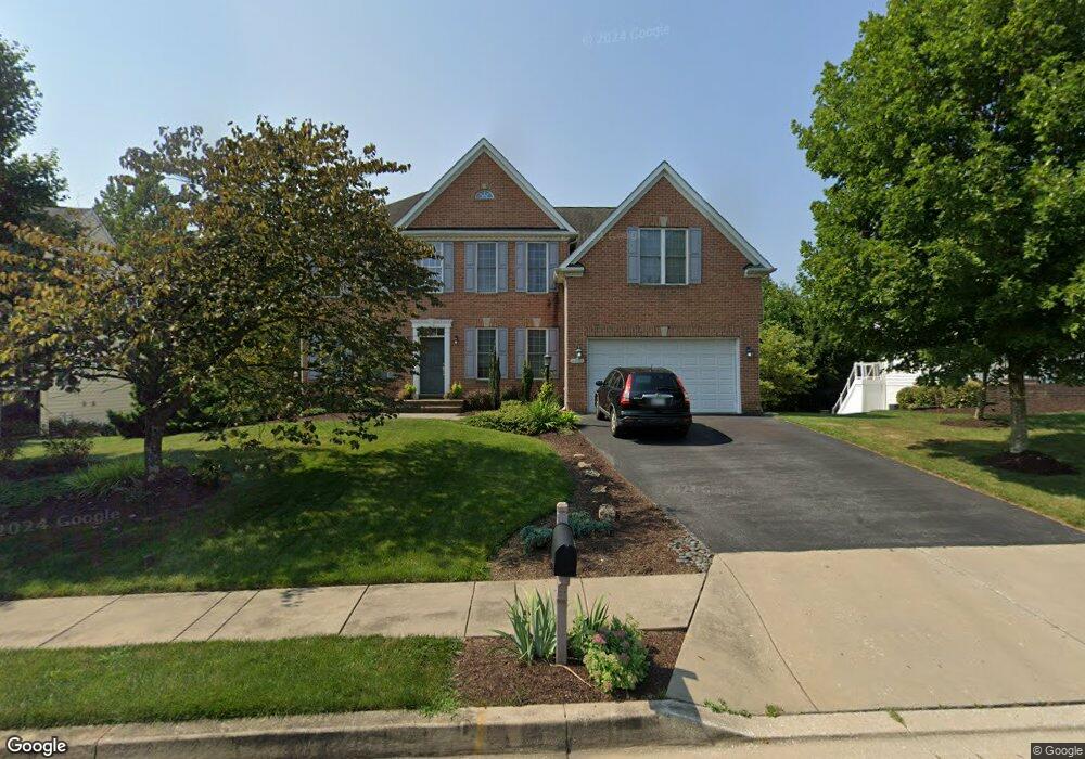
2002 Kings Forest Trail Mount Airy, MD 21771
Estimated Value: $836,000 - $912,000
--
Bed
3
Baths
3,776
Sq Ft
$230/Sq Ft
Est. Value
About This Home
This home is located at 2002 Kings Forest Trail, Mount Airy, MD 21771 and is currently estimated at $866,970, approximately $229 per square foot. 2002 Kings Forest Trail is a home located in Carroll County with nearby schools including Parr's Ridge Elementary School, Mount Airy Elementary School, and Mount Airy Middle School.
Ownership History
Date
Name
Owned For
Owner Type
Purchase Details
Closed on
Jul 31, 2006
Sold by
Woodl&S Development Corporation
Bought by
Williams David M and Williams Doreen E
Current Estimated Value
Home Financials for this Owner
Home Financials are based on the most recent Mortgage that was taken out on this home.
Original Mortgage
$475,000
Outstanding Balance
$271,151
Interest Rate
5.87%
Mortgage Type
Purchase Money Mortgage
Estimated Equity
$595,819
Purchase Details
Closed on
May 17, 2006
Sold by
Woodl&S Development Corporation
Bought by
Williams David M and Williams Doreen E
Home Financials for this Owner
Home Financials are based on the most recent Mortgage that was taken out on this home.
Original Mortgage
$475,000
Interest Rate
5.87%
Mortgage Type
Purchase Money Mortgage
Create a Home Valuation Report for This Property
The Home Valuation Report is an in-depth analysis detailing your home's value as well as a comparison with similar homes in the area
Home Values in the Area
Average Home Value in this Area
Purchase History
| Date | Buyer | Sale Price | Title Company |
|---|---|---|---|
| Williams David M | $656,875 | -- | |
| Williams David M | $656,875 | -- |
Source: Public Records
Mortgage History
| Date | Status | Borrower | Loan Amount |
|---|---|---|---|
| Open | Williams David M | $475,000 | |
| Previous Owner | Williams David M | $475,000 |
Source: Public Records
Tax History Compared to Growth
Tax History
| Year | Tax Paid | Tax Assessment Tax Assessment Total Assessment is a certain percentage of the fair market value that is determined by local assessors to be the total taxable value of land and additions on the property. | Land | Improvement |
|---|---|---|---|---|
| 2025 | $8,136 | $658,567 | $0 | $0 |
| 2024 | $8,136 | $615,500 | $195,400 | $420,100 |
| 2023 | $7,742 | $603,533 | $0 | $0 |
| 2022 | $7,588 | $591,567 | $0 | $0 |
| 2021 | $15,026 | $579,600 | $175,400 | $404,200 |
| 2020 | $7,475 | $576,667 | $0 | $0 |
| 2019 | $7,437 | $573,733 | $0 | $0 |
| 2018 | $7,322 | $570,800 | $175,400 | $395,400 |
| 2017 | $7,225 | $563,233 | $0 | $0 |
| 2016 | -- | $555,667 | $0 | $0 |
| 2015 | -- | $548,100 | $0 | $0 |
| 2014 | -- | $543,800 | $0 | $0 |
Source: Public Records
Map
Nearby Homes
- 2305 Connor Cir
- 1805 Kings Forest Trail
- 2016 Damon Dr
- 1718 Trestle St
- 807 Kingsbridge Terrace
- 0 Watersville Rd Unit MDCR2019316
- 7401 Watersville Rd
- 7714 Walnut Ln
- 3000 Flag Marsh Rd
- .58+- ACRES Center St
- 211 Carroll Ave
- 1010 Parade Ln
- 1410 Woodenbridge Ln
- 714 Robinwood Dr
- 1402 Woodenbridge Ln
- 33 N Towne Ct
- 1008 N Main St
- 0 Dogwood Dr
- 7460 Porter Dr
- 17263 Hardy Rd
- 2004 Kings Forest Trail
- 1916 Kings Forest Trail
- 2006 Kings Forest Trail
- 2008 Kings Forest Trail
- 2001 Kings Forest Trail
- 1911 Kings Forest Trail
- 2010 Kings Forest Trail
- 1914 Kings Forest Trail
- 1905 Gallant Knight Ln
- 2003 Kings Forest Trail
- 1906 Gallant Knight Ln
- 1912 Kings Forest Trail
- 1903 Gallant Knight Ln
- 1909 Kings Forest Trail
- 2005 Kings Forest Trail
- 2007 Kings Forest Trail
- 2012 Kings Forest Trail
- 1907 Kings Forest Trail
- 1904 Gallant Knight Ln
- 1910 Kings Forest Trail