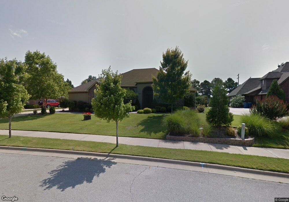
2002 NW Desoto Dr Bentonville, AR 72712
Estimated Value: $671,621 - $746,000
--
Bed
3
Baths
2,522
Sq Ft
$280/Sq Ft
Est. Value
About This Home
This home is located at 2002 NW Desoto Dr, Bentonville, AR 72712 and is currently estimated at $707,155, approximately $280 per square foot. 2002 NW Desoto Dr is a home located in Benton County with nearby schools including Sugar Creek Elementary School, Lincoln Junior High School, and Old High Middle School.
Ownership History
Date
Name
Owned For
Owner Type
Purchase Details
Closed on
Mar 16, 2012
Sold by
Rampy Scott Tyler and Rampy Sandra Jo
Bought by
Rampy Scott Tyler and Coppock Sandra Jo Rampy
Current Estimated Value
Home Financials for this Owner
Home Financials are based on the most recent Mortgage that was taken out on this home.
Original Mortgage
$221,139
Outstanding Balance
$27,347
Interest Rate
3.3%
Mortgage Type
FHA
Estimated Equity
$679,808
Purchase Details
Closed on
Oct 28, 2004
Bought by
Rampy
Purchase Details
Closed on
Oct 26, 2004
Bought by
Rampy
Purchase Details
Closed on
Feb 10, 2004
Bought by
Christophers
Create a Home Valuation Report for This Property
The Home Valuation Report is an in-depth analysis detailing your home's value as well as a comparison with similar homes in the area
Home Values in the Area
Average Home Value in this Area
Purchase History
| Date | Buyer | Sale Price | Title Company |
|---|---|---|---|
| Rampy Scott Tyler | -- | None Available | |
| Rampy | $319,000 | -- | |
| Rampy | $319,000 | -- | |
| Christophers | $40,000 | -- |
Source: Public Records
Mortgage History
| Date | Status | Borrower | Loan Amount |
|---|---|---|---|
| Open | Rampy Scott Tyler | $221,139 |
Source: Public Records
Tax History Compared to Growth
Tax History
| Year | Tax Paid | Tax Assessment Tax Assessment Total Assessment is a certain percentage of the fair market value that is determined by local assessors to be the total taxable value of land and additions on the property. | Land | Improvement |
|---|---|---|---|---|
| 2025 | $4,856 | $113,433 | $30,000 | $83,433 |
| 2024 | $4,656 | $113,433 | $30,000 | $83,433 |
| 2023 | $4,434 | $73,120 | $8,600 | $64,520 |
| 2022 | $3,969 | $73,120 | $8,600 | $64,520 |
| 2021 | $3,758 | $73,120 | $8,600 | $64,520 |
| 2020 | $3,599 | $62,390 | $7,400 | $54,990 |
| 2019 | $3,599 | $62,390 | $7,400 | $54,990 |
| 2018 | $3,624 | $62,390 | $7,400 | $54,990 |
| 2017 | $3,624 | $62,390 | $7,400 | $54,990 |
| 2016 | $3,496 | $62,390 | $7,400 | $54,990 |
| 2015 | $3,669 | $59,370 | $8,000 | $51,370 |
| 2014 | $3,319 | $59,370 | $8,000 | $51,370 |
Source: Public Records
Map
Nearby Homes
- 203 NW Lasalle Dr
- 2017 NW Desoto Dr
- 1 Greenridge Ln
- 1016 NW A St
- 1022 NW A St
- 0 NW Turner Dr
- 802 NW 20th St
- 1259 NW A St
- 14 Valley View Cir
- 1248 NW A St
- 1246 NW A St
- 1244 NW A St
- 1606 Kimberly Place
- 1703 Kimberly Place
- Lot 3 NW Hidden Cove
- 703 NE Heights Ln
- 701 NE Heights Ln
- 1605 Kimberly Place
- 1247 Fillmore St
- 833 NE Heights Ln
- 2004 NW Desoto Dr
- 2000 NW Desoto Dr
- 201 NW Lasalle Dr
- 300 NW Lasalle Dr
- 2007 NW A St
- 2006 NW Desoto Dr
- 2003 NW Desoto Dr
- Lot 2 & 3 Lasalle Dr
- 302 NW Lasalle Dr
- 301 NW Lasalle Dr
- 2008 NW Desoto Dr
- 2005 NW Desoto Dr
- 0 NW Desoto Dr Unit 17014303
- 2009 NW A St
- 304 NW Lasalle Dr
- 303 NW Lasalle Dr
- 2016 NW Desoto Dr
- 2010 NW Desoto Dr
- 2007 NW Desoto Dr
- 305 NW Lasalle Dr