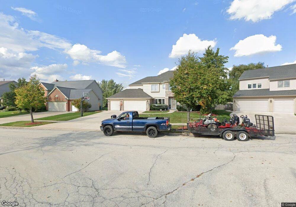
2002 Sheridan Ct Buffalo Grove, IL 60089
Rolling Hills NeighborhoodEstimated Value: $857,420 - $870,000
4
Beds
4
Baths
3,118
Sq Ft
$277/Sq Ft
Est. Value
About This Home
This home is located at 2002 Sheridan Ct, Buffalo Grove, IL 60089 and is currently estimated at $864,355, approximately $277 per square foot. 2002 Sheridan Ct is a home located in Lake County with nearby schools including Ivy Hall Elementary School, Twin Groves Middle School, and Adlai E Stevenson High School.
Ownership History
Date
Name
Owned For
Owner Type
Purchase Details
Closed on
Oct 1, 2019
Sold by
Meliker Matthew S and Meliker Amy B
Bought by
Meliker Amy B and Amy B Meliker Revocable Trust
Current Estimated Value
Purchase Details
Closed on
May 12, 2011
Sold by
Rauscher Eric M and Rauscher Susan E
Bought by
Meliker Matthew S and Meliker Amy B
Home Financials for this Owner
Home Financials are based on the most recent Mortgage that was taken out on this home.
Original Mortgage
$300,000
Outstanding Balance
$18,524
Interest Rate
4.91%
Mortgage Type
New Conventional
Estimated Equity
$845,831
Purchase Details
Closed on
Aug 2, 1996
Sold by
American National Bk & Tr Co Of Chicago
Bought by
Rauscher Eric M and Rauscher Susan E
Home Financials for this Owner
Home Financials are based on the most recent Mortgage that was taken out on this home.
Original Mortgage
$260,000
Interest Rate
7.37%
Create a Home Valuation Report for This Property
The Home Valuation Report is an in-depth analysis detailing your home's value as well as a comparison with similar homes in the area
Home Values in the Area
Average Home Value in this Area
Purchase History
| Date | Buyer | Sale Price | Title Company |
|---|---|---|---|
| Meliker Amy B | -- | None Available | |
| Meliker Matthew S | $596,000 | Multiple | |
| Rauscher Eric M | $370,500 | Chicago Title Insurance Co |
Source: Public Records
Mortgage History
| Date | Status | Borrower | Loan Amount |
|---|---|---|---|
| Open | Meliker Matthew S | $300,000 | |
| Previous Owner | Rauscher Eric M | $260,000 |
Source: Public Records
Tax History Compared to Growth
Tax History
| Year | Tax Paid | Tax Assessment Tax Assessment Total Assessment is a certain percentage of the fair market value that is determined by local assessors to be the total taxable value of land and additions on the property. | Land | Improvement |
|---|---|---|---|---|
| 2024 | $19,268 | $219,622 | $48,555 | $171,067 |
| 2023 | $18,149 | $197,361 | $43,633 | $153,728 |
| 2022 | $18,149 | $183,733 | $40,620 | $143,113 |
| 2021 | $17,569 | $181,752 | $40,182 | $141,570 |
| 2020 | $17,225 | $182,372 | $40,319 | $142,053 |
| 2019 | $16,808 | $181,699 | $40,170 | $141,529 |
| 2018 | $16,642 | $184,772 | $43,668 | $141,104 |
| 2017 | $16,499 | $180,459 | $42,649 | $137,810 |
| 2016 | $17,730 | $193,274 | $40,840 | $152,434 |
| 2015 | $17,361 | $180,748 | $38,193 | $142,555 |
| 2014 | $17,633 | $180,603 | $41,019 | $139,584 |
| 2012 | $17,545 | $180,965 | $41,101 | $139,864 |
Source: Public Records
Map
Nearby Homes
- 1998 Sheridan Ct
- 1903 Sheridan Rd
- 5255 Danbury Ct
- 486 Satinwood Terrace Unit 11
- 1901 Brandywyn Ln
- 333 Didier Ct
- 5328 Oak Grove Dr
- 268 Hoffmann Dr
- 361 Hoffmann Dr
- 538 Lasalle Ct
- 361 Willow Pkwy Unit 234
- 259 Willow Pkwy Unit 403
- 2770 Sandalwood Rd Unit 3
- 327 Lasalle Ln
- 890 Knollwood Dr
- 2033 Olive Hill Dr
- 896 Chaucer Way Unit 2
- 1265 Devonshire Rd
- 2071 Wright Blvd
- 5107 N Arlington Heights Rd
- 2006 Sheridan Ct
- 1994 Sheridan Ct
- 1966 Sheridan Rd
- 1970 Sheridan Rd
- 1962 Sheridan Rd
- 2010 Sheridan Ct
- 1958 Sheridan Rd
- 2022 Sheridan Ct
- 1974 Sheridan Rd
- 2026 Sheridan Ct
- 1990 Sheridan Ct
- 1990 Sheridan Rd
- 2018 Sheridan Ct
- 2014 Sheridan Ct
- 1954 Sheridan Rd
- 1978 Sheridan Rd
- 1944 Beverly Ln
- 2030 Sheridan Rd
- 1986 Sheridan Rd
- 1948 Beverly Ln