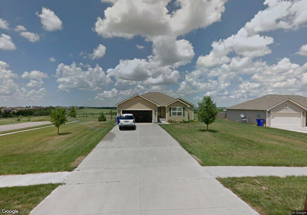
2002 Thompson Dr Junction City, KS 66441
Estimated Value: $258,000 - $288,000
3
Beds
2
Baths
1,474
Sq Ft
$186/Sq Ft
Est. Value
About This Home
This home is located at 2002 Thompson Dr, Junction City, KS 66441 and is currently estimated at $274,603, approximately $186 per square foot. 2002 Thompson Dr is a home located in Geary County with nearby schools including Westwood Elementary School, Junction City Middle School, and Junction City Senior High School.
Ownership History
Date
Name
Owned For
Owner Type
Purchase Details
Closed on
May 17, 2022
Sold by
Curtis Johnson and Curtis Margaret Johnson
Bought by
Curtis Johnson And Margaret Johnson Revocable
Current Estimated Value
Home Financials for this Owner
Home Financials are based on the most recent Mortgage that was taken out on this home.
Original Mortgage
$241,000
Outstanding Balance
$227,821
Interest Rate
4.72%
Mortgage Type
VA
Estimated Equity
$46,782
Purchase Details
Closed on
Nov 4, 2019
Sold by
Johnson Cutis E and Johnson Margaret
Bought by
Johnson And Margaret Johnson Rev Tr
Create a Home Valuation Report for This Property
The Home Valuation Report is an in-depth analysis detailing your home's value as well as a comparison with similar homes in the area
Home Values in the Area
Average Home Value in this Area
Purchase History
We collect this data history from publicly available records. To have your information removed, we recommend requesting removal directly through your county’s website.
| Date | Buyer | Sale Price | Title Company |
|---|---|---|---|
| Curtis Johnson And Margaret Johnson Revocable | -- | Heartland Title | |
| Johnson And Margaret Johnson Rev Tr | -- | None Available |
Source: Public Records
Mortgage History
We collect this data history from publicly available records. To have your information removed, we recommend requesting removal directly through your county’s website.
| Date | Status | Borrower | Loan Amount |
|---|---|---|---|
| Open | Curtis Johnson And Margaret Johnson Revocable | $241,000 |
Source: Public Records
Tax History
| Year | Tax Paid | Tax Assessment Tax Assessment Total Assessment is a certain percentage of the fair market value that is determined by local assessors to be the total taxable value of land and additions on the property. | Land | Improvement |
|---|---|---|---|---|
| 2025 | $4,210 | $30,642 | $3,490 | $27,152 |
| 2024 | $5,274 | $28,638 | $3,257 | $25,381 |
| 2023 | $5,361 | $27,535 | $3,145 | $24,390 |
| 2022 | $0 | $25,496 | $2,911 | $22,585 |
| 2021 | $0 | $22,805 | $2,767 | $20,038 |
| 2020 | $4,848 | $21,931 | $2,712 | $19,219 |
| 2019 | $4,870 | $22,032 | $2,452 | $19,580 |
| 2018 | $4,858 | $22,064 | $2,393 | $19,671 |
| 2017 | $4,875 | $21,965 | $2,874 | $19,091 |
| 2016 | $4,801 | $21,309 | $1,297 | $20,012 |
| 2015 | -- | $21,275 | $1,390 | $19,885 |
| 2014 | -- | $21,715 | $1,699 | $20,016 |
Source: Public Records
Map
Nearby Homes
- 2009 Thompson Dr
- 1913 Thompson Dr
- 1741 Bel Air Dr
- 1709 Lydia Ln
- 2009 W 17th St
- 1510 W 16th St
- 2016 Quail Run
- 1228 W 18th St
- 1502 W 16th St
- 1221 Pershing Dr
- 2222 Brooke Bend
- 1213 Marshall Dr
- 1509 Bel Air Dr
- 1814 Lydia Ln
- 1204 Downtain St
- 1845 Elmdale Ave
- 2416-2418 Brooke Bend
- 1421 W 14th St
- 2608 Brooke Bend
- 1409 W 14th St
- 2013 Thompson Dr
- 2005 Thompson Dr
- 2017 Thompson Dr
- 2001 Thompson Dr
- 2010 Thompson Dr
- 2006 Thompson Dr
- 2014 Thompson Dr
- 2021 Thompson Dr
- 2018 Thompson Dr
- 2022 Thompson Dr
- 1918 Thompson Dr
- 2026 Thompson Dr
- 2029 Thompson Dr
- 1909 Thompson Dr
- 1914 Thompson Dr
- 2101 Thompson Dr
- 1905 Thompson Dr
- 1910 Thompson Dr
- 2102 Thompson Dr
- 2104 Thompson Dr
Your Personal Tour Guide
Ask me questions while you tour the home.