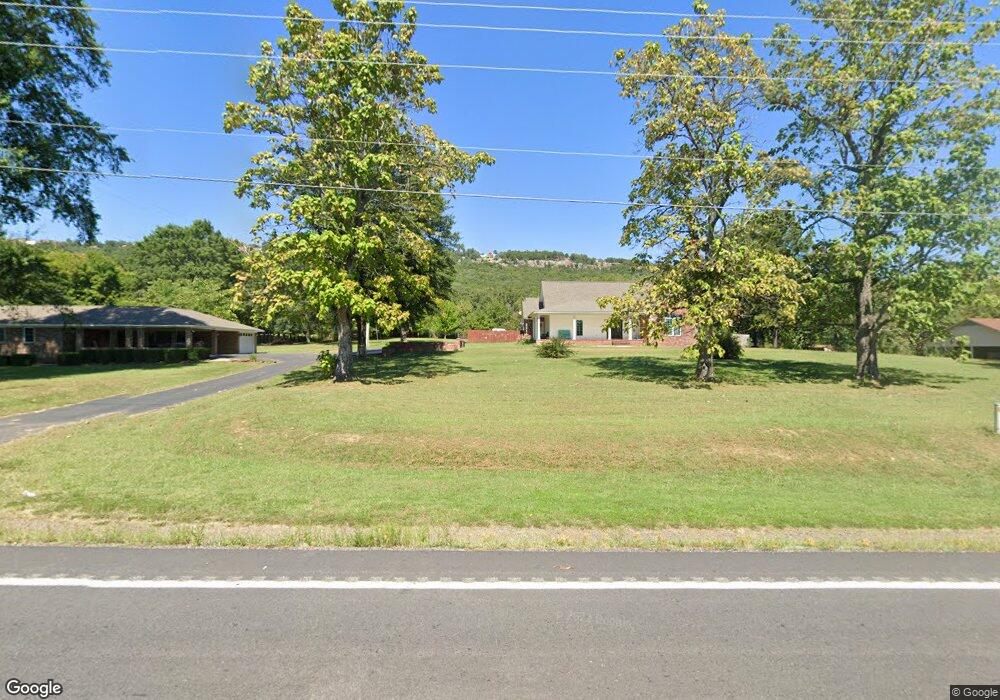
2002 W Main St Atkins, AR 72823
Estimated Value: $90,822 - $140,000
2
Beds
1
Bath
1,150
Sq Ft
$102/Sq Ft
Est. Value
About This Home
This home is located at 2002 W Main St, Atkins, AR 72823 and is currently estimated at $117,607, approximately $102 per square foot. 2002 W Main St is a home located in Pope County with nearby schools including Atkins Elementary School, Atkins Middle School, and Atkins High School.
Ownership History
Date
Name
Owned For
Owner Type
Purchase Details
Closed on
Mar 5, 2010
Sold by
Kinslow Floyd and Kinslow Patsy A
Bought by
Pierce Betty
Current Estimated Value
Home Financials for this Owner
Home Financials are based on the most recent Mortgage that was taken out on this home.
Original Mortgage
$53,265
Outstanding Balance
$35,111
Interest Rate
4.95%
Estimated Equity
$82,496
Create a Home Valuation Report for This Property
The Home Valuation Report is an in-depth analysis detailing your home's value as well as a comparison with similar homes in the area
Home Values in the Area
Average Home Value in this Area
Purchase History
| Date | Buyer | Sale Price | Title Company |
|---|---|---|---|
| Pierce Betty | -- | -- |
Source: Public Records
Mortgage History
| Date | Status | Borrower | Loan Amount |
|---|---|---|---|
| Open | Pierce Betty | $53,265 | |
| Closed | Pierce Betty | $53,265 |
Source: Public Records
Tax History
| Year | Tax Paid | Tax Assessment Tax Assessment Total Assessment is a certain percentage of the fair market value that is determined by local assessors to be the total taxable value of land and additions on the property. | Land | Improvement |
|---|---|---|---|---|
| 2025 | $470 | $12,520 | $1,610 | $10,910 |
| 2024 | $470 | $12,520 | $1,610 | $10,910 |
| 2023 | $470 | $12,520 | $1,610 | $10,910 |
| 2022 | $95 | $12,520 | $1,610 | $10,910 |
| 2021 | $95 | $12,520 | $1,610 | $10,910 |
| 2020 | $95 | $10,840 | $1,610 | $9,230 |
| 2019 | $95 | $10,840 | $1,610 | $9,230 |
| 2018 | $120 | $10,840 | $1,610 | $9,230 |
| 2017 | $470 | $10,840 | $1,610 | $9,230 |
| 2016 | $120 | $9,820 | $1,610 | $8,210 |
| 2015 | $470 | $9,820 | $1,600 | $8,220 |
| 2014 | $120 | $9,820 | $1,600 | $8,220 |
Source: Public Records
Map
Nearby Homes
- 231 U S Highway 64
- 2083 Arkansas 247
- 2093 Arkansas 247
- 536 Leonard Ln
- 703 NW 1st St
- 702 W Main St
- 103 & 105 Ave 3 NW
- 501 Avenue 3 NW
- 308 W Main St
- 203 NW 1st St
- 0000 S Church St
- 0 U S Highway 64
- Tract 10 Arkansas 105
- Tract 8 Arkansas 105
- TBD Arkansas 105
- 170 Piney Point Ct
- 406 NE 6th St
- 408 NE 5th St
- 1605 N Church St
- 1111 Avenue 4 NE
- 2004 W Main St
- 1908 W Main St
- 2006 W Main St
- 1909 W Main St
- 1902 W Main St
- 2003 W Main St
- 1905 W Main St
- 1906 W Main St
- 2001 W Main St
- 1903 W Main St
- 1804 W Main St
- 1704 W Main St
- 1703 W Main St
- 1606 W Main St
- I 41 U S Highway 64
- 8920 U S Highway 64
- Tract 3 U S Highway 64
- 407 Bluff View Dr
- 2707 Hudson Rd
Your Personal Tour Guide
Ask me questions while you tour the home.