2002 W That Rd Bloomington, IN 47403
Estimated Value: $498,000 - $552,000
4
Beds
5
Baths
2,984
Sq Ft
$175/Sq Ft
Est. Value
About This Home
This home is located at 2002 W That Rd, Bloomington, IN 47403 and is currently estimated at $522,077, approximately $174 per square foot. 2002 W That Rd is a home located in Monroe County with nearby schools including Clear Creek Elementary School, Lora L. Batchelor Middle School, and Bloomington High School South.
Create a Home Valuation Report for This Property
The Home Valuation Report is an in-depth analysis detailing your home's value as well as a comparison with similar homes in the area
Tax History
| Year | Tax Paid | Tax Assessment Tax Assessment Total Assessment is a certain percentage of the fair market value that is determined by local assessors to be the total taxable value of land and additions on the property. | Land | Improvement |
|---|---|---|---|---|
| 2025 | $2,917 | $368,500 | $60,000 | $308,500 |
| 2024 | $2,917 | $367,900 | $48,000 | $319,900 |
| 2023 | $2,904 | $364,400 | $48,000 | $316,400 |
| 2022 | $2,690 | $338,800 | $48,000 | $290,800 |
| 2021 | $2,575 | $315,200 | $48,000 | $267,200 |
| 2020 | $2,476 | $292,500 | $48,000 | $244,500 |
| 2019 | $2,129 | $293,400 | $48,000 | $245,400 |
| 2018 | $2,179 | $296,300 | $48,000 | $248,300 |
| 2017 | $2,179 | $295,900 | $48,000 | $247,900 |
| 2016 | $2,129 | $294,600 | $48,000 | $246,600 |
| 2014 | $2,049 | $289,900 | $48,000 | $241,900 |
Source: Public Records
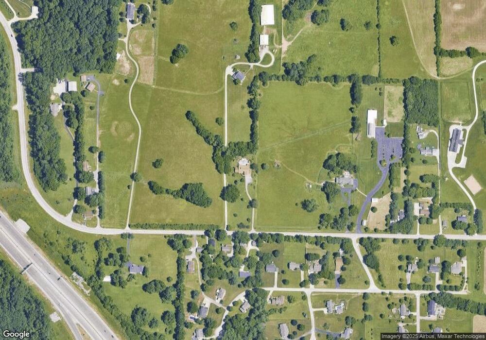
Map
Nearby Homes
- 4330 S Rockport Rd
- 1621 W Dove Dr
- 4265 S Mallard Ct
- 1617 W Hennessey St
- 3901 S Bushmill Dr
- 5408 S Chalmers Ct
- 5422 S Chalmers Ct
- 1203 W Dove Cir
- 3987 S Cramer Cir
- 935 W Baywood Dr
- 925 W Baywood Dr
- 903 W Baywood Dr
- 4171 S Monroe Medical Park Blvd
- 3920 S Cramer Cir
- 3877 S Cramer Cir
- 3533 S Wickens St
- 3493 S Wickens St
- 3200 W Woodhaven Dr
- 4105 S Hedgewood Dr
- 500 W Estate Dr
- 2002 W That Rd
- 1845A W That Rd
- 1845A W That Rd
- 1845A W That Rd Unit A
- 1859 W That Rd
- 1865 W That Rd
- 1875 W That Rd
- 1742 W Jeremy Dr
- 1720 W That Rd
- 16.73 Acre W That
- 3.77 Acres W That
- 5.59 Acres W That
- 3.15 Acres W That
- 29.24 Acre W That
- 16.73A That
- 1845B W That Rd
- 1736 W Jeremy Dr
- 1754 W Jeremy Dr
- 1877 W That Rd
Your Personal Tour Guide
Ask me questions while you tour the home.