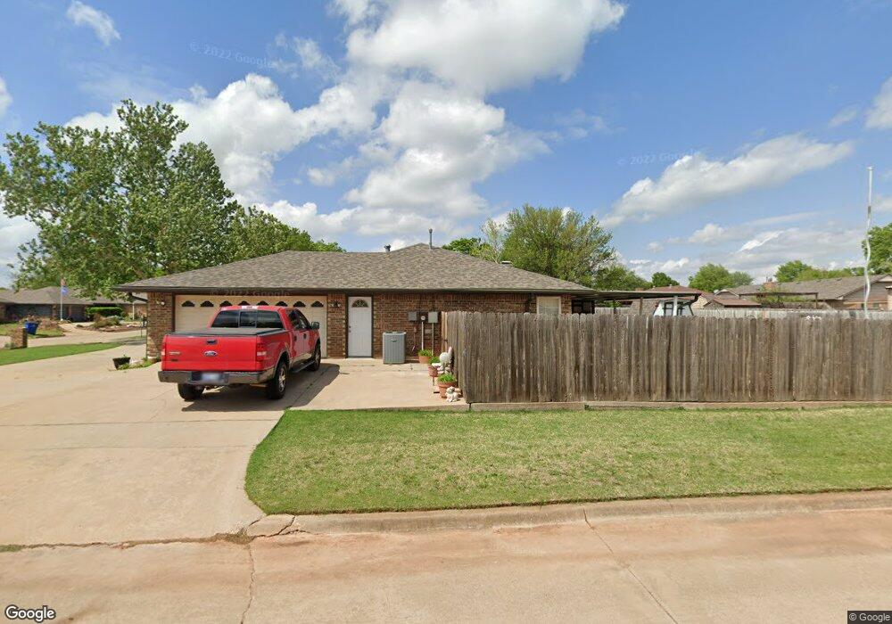
2002 Westbriar Rd Duncan, OK 73533
Estimated Value: $190,000 - $203,000
3
Beds
2
Baths
1,718
Sq Ft
$114/Sq Ft
Est. Value
About This Home
This home is located at 2002 Westbriar Rd, Duncan, OK 73533 and is currently estimated at $195,362, approximately $113 per square foot. 2002 Westbriar Rd is a home located in Stephens County with nearby schools including Horace Mann Elementary School, Duncan Middle School, and Duncan High School.
Ownership History
Date
Name
Owned For
Owner Type
Purchase Details
Closed on
Jan 4, 2017
Sold by
Alm Glenna S and Mullins Ralph N
Bought by
Bullard Rocky D and Bullard Marquetta D
Current Estimated Value
Home Financials for this Owner
Home Financials are based on the most recent Mortgage that was taken out on this home.
Original Mortgage
$88,000
Outstanding Balance
$72,259
Interest Rate
4.08%
Mortgage Type
New Conventional
Estimated Equity
$123,103
Purchase Details
Closed on
Jun 12, 1992
Sold by
Harper Priscilla
Bought by
Mullens Glen N and Mullens Inetta S
Create a Home Valuation Report for This Property
The Home Valuation Report is an in-depth analysis detailing your home's value as well as a comparison with similar homes in the area
Home Values in the Area
Average Home Value in this Area
Purchase History
| Date | Buyer | Sale Price | Title Company |
|---|---|---|---|
| Bullard Rocky D | $110,000 | None Available | |
| Mullens Glen N | $71,500 | -- |
Source: Public Records
Mortgage History
| Date | Status | Borrower | Loan Amount |
|---|---|---|---|
| Open | Bullard Rocky D | $88,000 |
Source: Public Records
Tax History Compared to Growth
Tax History
| Year | Tax Paid | Tax Assessment Tax Assessment Total Assessment is a certain percentage of the fair market value that is determined by local assessors to be the total taxable value of land and additions on the property. | Land | Improvement |
|---|---|---|---|---|
| 2025 | $1,251 | $16,155 | $1,322 | $14,833 |
| 2024 | $1,251 | $15,685 | $1,322 | $14,363 |
| 2023 | $1,251 | $15,685 | $1,322 | $14,363 |
| 2022 | $1,172 | $15,228 | $1,322 | $13,906 |
| 2021 | $1,137 | $14,354 | $1,322 | $13,032 |
| 2020 | $1,218 | $15,102 | $1,322 | $13,780 |
| 2019 | $1,182 | $14,662 | $1,322 | $13,340 |
| 2018 | $1,318 | $15,794 | $1,322 | $14,472 |
| 2017 | $1,115 | $14,391 | $1,246 | $13,145 |
| 2016 | $1,068 | $13,566 | $1,181 | $12,385 |
| 2015 | $961 | $13,171 | $1,162 | $12,009 |
| 2014 | $961 | $12,787 | $1,143 | $11,644 |
Source: Public Records
Map
Nearby Homes
- 1829 1829 Terrace Dr
- 2403 Meadow View Dr
- 1927 High Meadow Dr
- 2360 Rockwell Dr
- 2321 Rockwell Dr
- 1706 Windsor Dr
- 3990 N Ridgeview Dr
- 2120 2120 Flamingo Ln
- 2202 W Canary Ave
- 1601 1601 Pearl
- 30 Canterbury Ln
- 2201 W Club Rd
- 28 Canterbury Ln
- 2108 W Club Rd
- 2110 W Club Rd
- 1404 1404 Ne Aspen
- 1311 1311 N 20 St
- 2814 2814 Springdale Ln
- 1527 1527 N 13th
- 1405 Evergreen Dr
- 2004 Westbriar Rd
- 2001 Overland Dr
- 2005 Overland Dr
- 2010 Windsor Dr
- 2008 Westbriar Rd
- 2006 Windsor Dr
- 2001 Westbriar Rd
- 2005 Westbriar Rd
- 2014 Windsor Dr
- 2009 Overland Dr
- 2018 Windsor Dr
- 2002 Windsor Dr
- 2012 Westbriar Rd
- 2009 Westbriar Rd
- 2013 Overland Dr
- 2009 Waverly Dr
- 2013 Waverly Dr
- 2005 Waverly Dr
- 1902 Meadowview Dr
- 1935 Windsor Dr