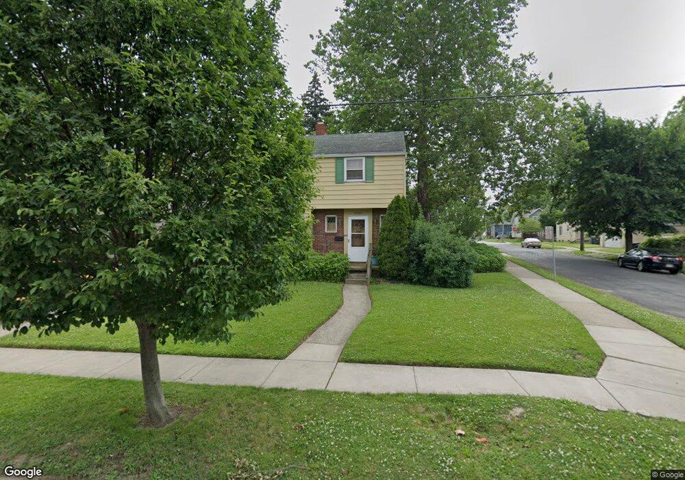
2002 Wyndhurst Rd Toledo, OH 43607
Ottawa NeighborhoodEstimated Value: $96,000 - $111,000
About This Home
This home is located at 2002 Wyndhurst Rd, Toledo, OH 43607 and is currently estimated at $105,694, approximately $88 per square foot. 2002 Wyndhurst Rd is a home located in Lucas County with nearby schools including Old Orchard Elementary School, Start High School, and Explorers Academy.
Ownership History
We collect this data history from publicly available records. To have your information removed, we recommend requesting removal directly through your county’s website.
Purchase Details
Home Financials for this Owner
Home Financials are based on the most recent Mortgage that was taken out on this home.Purchase Details
Home Values in the Area
Average Home Value in this Area
Purchase History
We collect this data history from publicly available records. To have your information removed, we recommend requesting removal directly through your county’s website.
| Date | Buyer | Sale Price | Title Company |
|---|---|---|---|
| $43,000 | -- | ||
| -- | -- |
Mortgage History
We collect this data history from publicly available records. To have your information removed, we recommend requesting removal directly through your county’s website.
| Date | Status | Borrower | Loan Amount |
|---|---|---|---|
| Closed | $38,700 |
Tax History
We collect this data history from publicly available records. To have your information removed, we recommend requesting removal directly through your county’s website.
| Year | Tax Paid | Tax Assessment Tax Assessment Total Assessment is a certain percentage of the fair market value that is determined by local assessors to be the total taxable value of land and additions on the property. | Land | Improvement |
|---|---|---|---|---|
| 2025 | -- | $23,590 | $8,680 | $14,910 |
| 2024 | $819 | $23,590 | $8,680 | $14,910 |
| 2023 | $1,499 | $20,440 | $6,090 | $14,350 |
| 2022 | $1,490 | $20,440 | $6,090 | $14,350 |
| 2021 | $1,527 | $20,440 | $6,090 | $14,350 |
| 2020 | $1,532 | $17,710 | $5,250 | $12,460 |
| 2019 | $1,476 | $17,710 | $5,250 | $12,460 |
| 2018 | $1,505 | $17,710 | $5,250 | $12,460 |
| 2017 | $1,641 | $17,325 | $5,145 | $12,180 |
| 2016 | $1,518 | $49,500 | $14,700 | $34,800 |
| 2015 | $1,525 | $49,500 | $14,700 | $34,800 |
| 2014 | $1,120 | $17,330 | $5,150 | $12,180 |
| 2013 | $1,120 | $17,330 | $5,150 | $12,180 |
Map
- 2019 Kensington Rd
- 2115 Wyndhurst Rd
- 2129 Wyndhurst Rd
- 2119 Evansdale Ave
- 2143 Alvin St
- 1633 Potomac Dr
- 1401 Parkside Blvd
- 1723 Potomac Dr
- 2006 Mount Vernon Ave
- 2336 Cheltenham Rd
- 1118 Alldays Ave
- 2145 Dorr St
- 2157 Shenandoah Rd
- 1318 Addington Rd
- 1215 Woodstock Ave
- 1412 Waverly Ave
- 913 Coventry Ave
- 2459 Goddard Rd
- 1014 Evesham Ave
- 2106 Parkdale Ave
- 2010 Wyndhurst Rd
- 2014 Wyndhurst Rd
- 2006 Wyndhurst Rd
- 2018 Wyndhurst Rd
- 2022 Wyndhurst Rd
- 2011 Alvin St
- 2015 Alvin St
- 2007 Alvin St
- 2019 Alvin St
- 2003 Alvin St
- 2026 Wyndhurst Rd
- 2023 Alvin St
- 1917 Wyndhurst Rd
- 2017 Wyndhurst Rd
- 1846 Wyndhurst Rd
- 2030 Wyndhurst Rd
- 2030 Wyndhurst Rd
- 2030 Wyndhurst Rd Unit Lower
- 1913 Wyndhurst Rd
- 2025 Alvin St
Ask me questions while you tour the home.