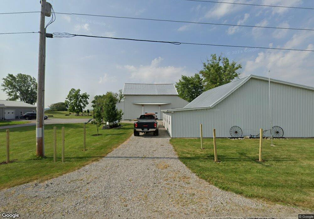
20021 Cygnet Rd Custar, OH 43511
Estimated Value: $189,000 - $253,478
2
Beds
1
Bath
1,458
Sq Ft
$153/Sq Ft
Est. Value
About This Home
This home is located at 20021 Cygnet Rd, Custar, OH 43511 and is currently estimated at $222,370, approximately $152 per square foot. 20021 Cygnet Rd is a home located in Wood County with nearby schools including McComb Elementary School, McComb Middle School, and Mccomb Local High School.
Ownership History
Date
Name
Owned For
Owner Type
Purchase Details
Closed on
Nov 30, 2001
Sold by
Dubois Sheri L
Bought by
Devaux Noland L
Current Estimated Value
Home Financials for this Owner
Home Financials are based on the most recent Mortgage that was taken out on this home.
Original Mortgage
$91,500
Interest Rate
6.64%
Purchase Details
Closed on
Nov 19, 1998
Sold by
Southwick Leslie H and Southwick Stacy E
Bought by
Devaux Noland L and Dubois Sheri L
Home Financials for this Owner
Home Financials are based on the most recent Mortgage that was taken out on this home.
Original Mortgage
$92,000
Interest Rate
6.59%
Purchase Details
Closed on
Jun 1, 1992
Bought by
Southwick Leslie H
Create a Home Valuation Report for This Property
The Home Valuation Report is an in-depth analysis detailing your home's value as well as a comparison with similar homes in the area
Home Values in the Area
Average Home Value in this Area
Purchase History
| Date | Buyer | Sale Price | Title Company |
|---|---|---|---|
| Devaux Noland L | -- | -- | |
| Devaux Noland L | $99,900 | -- | |
| Southwick Leslie H | $49,000 | -- |
Source: Public Records
Mortgage History
| Date | Status | Borrower | Loan Amount |
|---|---|---|---|
| Closed | Devaux Noland L | $91,500 | |
| Previous Owner | Devaux Noland L | $92,000 |
Source: Public Records
Tax History Compared to Growth
Tax History
| Year | Tax Paid | Tax Assessment Tax Assessment Total Assessment is a certain percentage of the fair market value that is determined by local assessors to be the total taxable value of land and additions on the property. | Land | Improvement |
|---|---|---|---|---|
| 2024 | $2,293 | $69,020 | $17,535 | $51,485 |
| 2023 | $2,293 | $69,030 | $17,540 | $51,490 |
| 2021 | $2,302 | $57,890 | $14,630 | $43,260 |
| 2020 | $1,974 | $49,110 | $14,630 | $34,480 |
| 2019 | $1,768 | $44,420 | $13,090 | $31,330 |
| 2018 | $1,711 | $44,420 | $13,090 | $31,330 |
| 2017 | $1,612 | $44,420 | $13,090 | $31,330 |
| 2016 | $1,462 | $41,100 | $12,360 | $28,740 |
| 2015 | $1,462 | $41,100 | $12,360 | $28,740 |
| 2014 | $1,513 | $41,100 | $12,360 | $28,740 |
| 2013 | $1,521 | $37,350 | $11,240 | $26,110 |
Source: Public Records
Map
Nearby Homes
- 20236 Jerry City Rd
- 0 N Maple St
- 22759 Defiance Pike
- 22856 Main St
- 23117 Defiance Pike
- 687 State Route 235
- 1403 County Road D
- 114 N Harvest Dr
- 117 Meadow Ln
- 109 N Harvest St
- 106 N Harvest Dr
- 115 Meadow Ln
- 113 N Meadow Ln
- 122 N Harvest St
- 116 Meadow Ln
- 119 N Harvest St
- 112 N Harvest Dr
- 121 N Harvest St
- 118 N Harvest Dr
- 120 N Harvest Dr