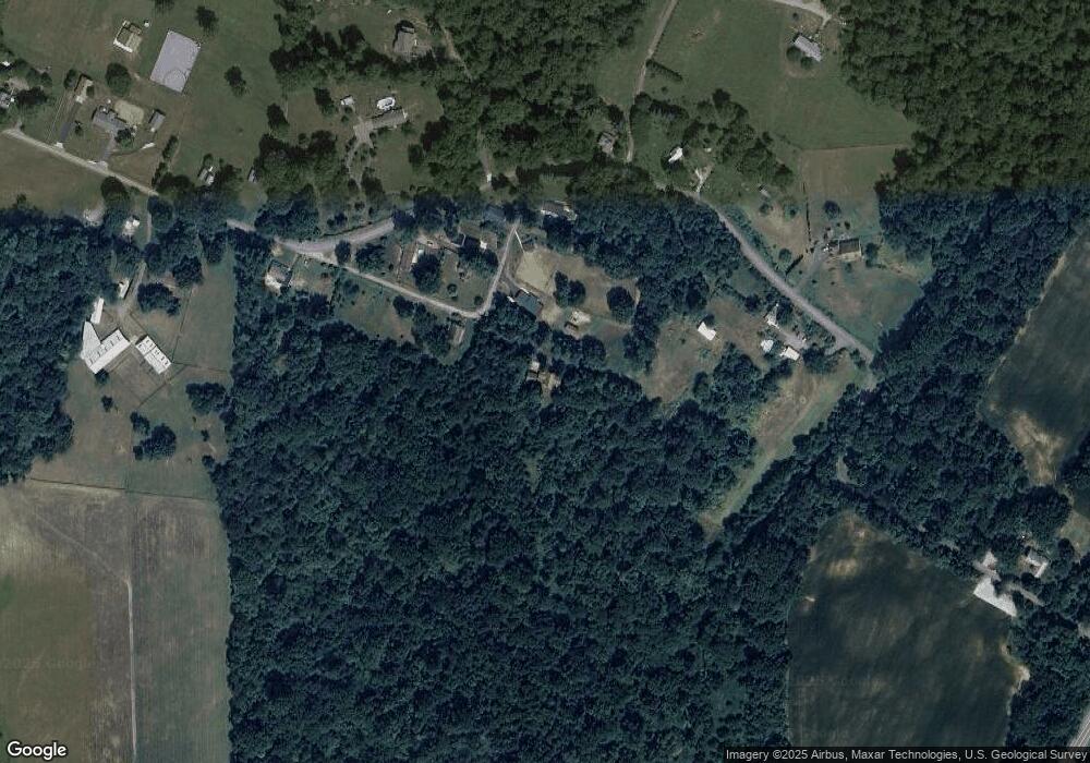
20021 Pear Tree Ln Knoxville, MD 21758
Estimated Value: $377,000 - $490,000
--
Bed
2
Baths
1,560
Sq Ft
$277/Sq Ft
Est. Value
About This Home
This home is located at 20021 Pear Tree Ln, Knoxville, MD 21758 and is currently estimated at $432,871, approximately $277 per square foot. 20021 Pear Tree Ln is a home located in Washington County with nearby schools including Pleasant Valley Elementary School, Boonsboro Middle School, and Boonsboro High School.
Ownership History
Date
Name
Owned For
Owner Type
Purchase Details
Closed on
Apr 30, 2010
Sold by
Dye Amos J and Dye Rita G
Bought by
Williams Lewis Parker
Current Estimated Value
Purchase Details
Closed on
Apr 22, 1988
Sold by
Martin Eli W
Bought by
Dye Amos J and Dye Rita G
Create a Home Valuation Report for This Property
The Home Valuation Report is an in-depth analysis detailing your home's value as well as a comparison with similar homes in the area
Home Values in the Area
Average Home Value in this Area
Purchase History
| Date | Buyer | Sale Price | Title Company |
|---|---|---|---|
| Williams Lewis Parker | $245,000 | -- | |
| Dye Amos J | $94,500 | -- |
Source: Public Records
Mortgage History
| Date | Status | Borrower | Loan Amount |
|---|---|---|---|
| Closed | Williams Lewis Parker | -- |
Source: Public Records
Tax History Compared to Growth
Tax History
| Year | Tax Paid | Tax Assessment Tax Assessment Total Assessment is a certain percentage of the fair market value that is determined by local assessors to be the total taxable value of land and additions on the property. | Land | Improvement |
|---|---|---|---|---|
| 2025 | $3,279 | $377,100 | $0 | $0 |
| 2024 | $3,279 | $336,800 | $0 | $0 |
| 2023 | $3,064 | $296,500 | $85,200 | $211,300 |
| 2022 | $2,978 | $282,433 | $0 | $0 |
| 2021 | $2,879 | $268,367 | $0 | $0 |
| 2020 | $1,178 | $254,300 | $85,200 | $169,100 |
| 2019 | $2,700 | $250,900 | $0 | $0 |
| 2018 | $2,682 | $247,500 | $0 | $0 |
| 2017 | $2,592 | $244,100 | $0 | $0 |
| 2016 | -- | $238,900 | $0 | $0 |
| 2015 | $3,223 | $233,700 | $0 | $0 |
| 2014 | $3,223 | $228,500 | $0 | $0 |
Source: Public Records
Map
Nearby Homes
- 2512 Kaetzel Rd
- 3305 Gapland Rd
- 1905 Reed Rd
- 1 W Main St
- 7 W Main St
- 106 E Main St
- 19626 Garretts Mill Rd
- 202 E Main St
- 19452 Garretts Mill Rd
- Lot 2 Garretts Mill Rd
- 1509 Brown Rd
- 3708 Trego Mountain Rd
- 0 Chestnut Grove Rd
- 3931 Trego Mountain Rd
- 3940 Trego Rd
- 18637 Outpost Rd
- 2040 Hoffmaster Rd
- 2052 Hoffmaster Rd
- 839 Rohrersville Rd
- 6838 Mountain Church Rd
- 20021 Pear Tree Ln
- 20021B Pear Tree Ln
- 20023 Pear Tree Ln
- 20016 Pear Tree Ln
- 20019 Brownsville Rd
- 20019 Pear Tree Ln
- 20019 Pear Tree Lane B
- 20009 Brownsville Rd
- 20038 Brownsville Rd
- 20019B Pear Tree Ln
- 20125 Brownsville Rd
- 20110 Brownsville Rd
- 20019 Pear Tree Ln
- 20012 Brownsville Rd
- 20128 Brownsville Rd
- 19951 Brownsville Rd
- 20024 Brownsville Rd
- 2625 Taulton Ln
- 19936 Brownsville Rd
- 19941 Brownsville Rd
