2003 Belfast Rd Sparks Glencoe, MD 21152
Oregon Ridge NeighborhoodEstimated Value: $1,446,075 - $2,459,000
--
Bed
6
Baths
4,975
Sq Ft
$392/Sq Ft
Est. Value
About This Home
This home is located at 2003 Belfast Rd, Sparks Glencoe, MD 21152 and is currently estimated at $1,952,538, approximately $392 per square foot. 2003 Belfast Rd is a home located in Baltimore County with nearby schools including Sparks Elementary School, Hereford Middle School, and Hereford High School.
Ownership History
Date
Name
Owned For
Owner Type
Purchase Details
Closed on
Mar 6, 2014
Sold by
Randall Harry G and Randall Marian P
Bought by
Hamilton Douglas W and Hamilton Tsognie W
Current Estimated Value
Home Financials for this Owner
Home Financials are based on the most recent Mortgage that was taken out on this home.
Original Mortgage
$600,000
Interest Rate
4.25%
Mortgage Type
Purchase Money Mortgage
Purchase Details
Closed on
Jul 30, 1971
Sold by
Marty Elizabeth T
Bought by
Randall Harry G and Randall Marian P
Create a Home Valuation Report for This Property
The Home Valuation Report is an in-depth analysis detailing your home's value as well as a comparison with similar homes in the area
Home Values in the Area
Average Home Value in this Area
Purchase History
| Date | Buyer | Sale Price | Title Company |
|---|---|---|---|
| Hamilton Douglas W | $1,250,000 | Fidelity Title Insurance Co | |
| Randall Harry G | $55,500 | -- |
Source: Public Records
Mortgage History
| Date | Status | Borrower | Loan Amount |
|---|---|---|---|
| Previous Owner | Hamilton Douglas W | $600,000 |
Source: Public Records
Tax History Compared to Growth
Tax History
| Year | Tax Paid | Tax Assessment Tax Assessment Total Assessment is a certain percentage of the fair market value that is determined by local assessors to be the total taxable value of land and additions on the property. | Land | Improvement |
|---|---|---|---|---|
| 2025 | $7,654 | $687,300 | $185,200 | $502,100 |
| 2024 | $7,654 | $634,367 | $0 | $0 |
| 2023 | $3,523 | $581,433 | $0 | $0 |
| 2022 | $6,347 | $528,500 | $185,200 | $343,300 |
| 2021 | $6,273 | $520,567 | $0 | $0 |
| 2020 | $6,273 | $512,633 | $0 | $0 |
| 2019 | $6,177 | $504,700 | $185,200 | $319,500 |
| 2018 | $6,124 | $500,333 | $0 | $0 |
| 2017 | $6,017 | $495,967 | $0 | $0 |
| 2016 | -- | $491,600 | $0 | $0 |
| 2015 | -- | $480,833 | $0 | $0 |
| 2014 | -- | $470,067 | $0 | $0 |
Source: Public Records
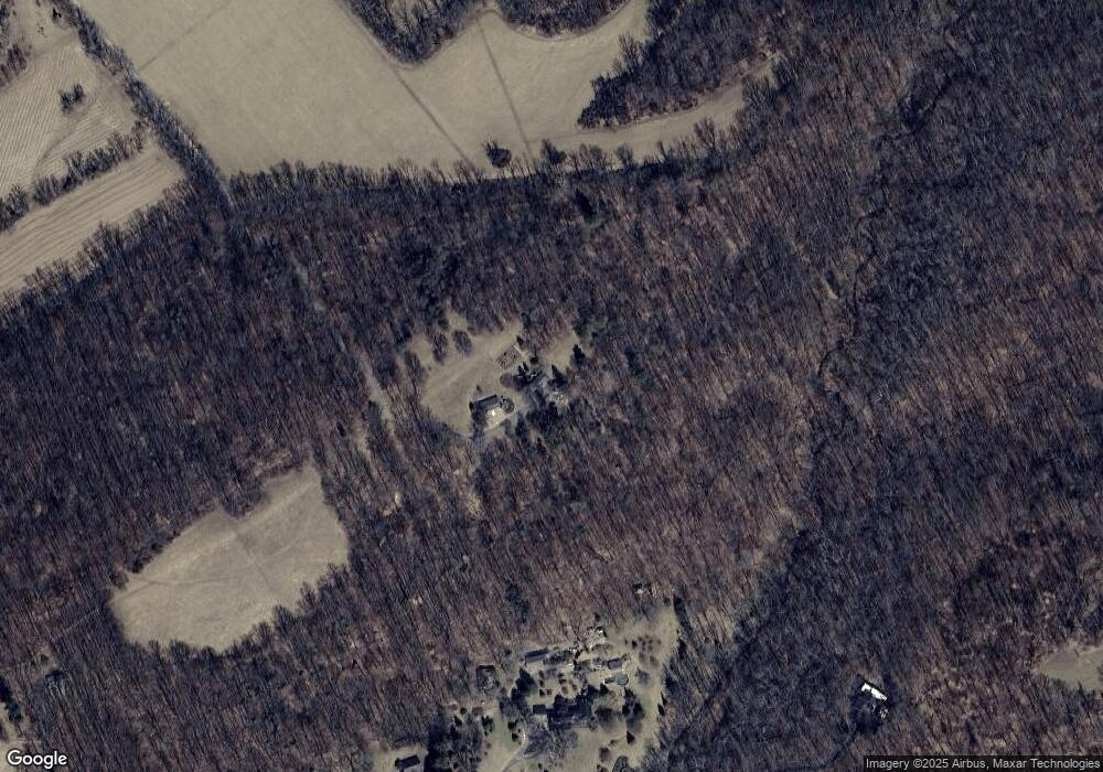
Map
Nearby Homes
- 14921 Tanyard Rd
- 1646 Worthington Heights Pkwy
- 15651 Duncan Hill Rd
- 1642 Worthington Heights Pkwy
- 1630 Worthington Heights Pkwy
- 14516 Cuba Rd
- 2105 Stringtown Rd
- 1211 Belfast Rd
- 2310 Gadd Rd
- 14323 ROAD Cuba Rd
- 0 Cuba Rd Unit MDBC2146194
- 0 Falls Rd Unit MDBC2120964
- 14213 Greencroft Ln
- 927 Western Rd
- 14490 Western Rd
- 14490 Western Rd Unit 2
- 14498 Western Rd Unit 2
- 14498 Western Rd
- 1016 Cold Bottom Rd
- 16418 Cedar Grove Rd
- 1900 Western Run Rd
- 1800 Western Run Rd
- 1936 Western Run Rd
- 1711 Belfast Rd
- 1901 Belfast Rd
- 1930 Western Run Rd
- 1730 Western Run Rd
- 1805 Belfast Rd
- 2121 Belfast Rd
- 2005 Belfast Rd
- 1803 Belfast Rd
- 2021 Belfast Rd
- 2115 Belfast Rd
- 14930 Tanyard Rd
- 1721 Belfast Rd
- 2000 Western Run Rd
- 1717 Belfast Rd
- 2153 Belfast Rd
- 1916 Belfast Rd
- 2131 Belfast Rd