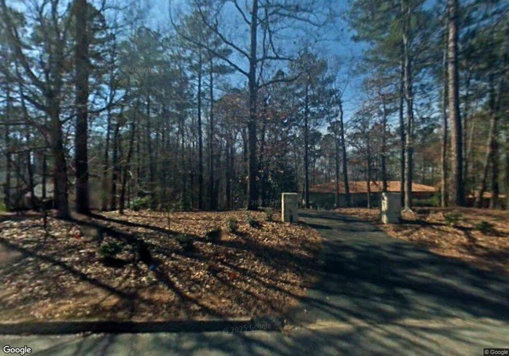
2003 Foxcroft Dr Lagrange, GA 30240
Estimated Value: $555,000 - $669,000
2
Beds
5
Baths
3,230
Sq Ft
$189/Sq Ft
Est. Value
About This Home
This home is located at 2003 Foxcroft Dr, Lagrange, GA 30240 and is currently estimated at $610,456, approximately $188 per square foot. 2003 Foxcroft Dr is a home located in Troup County with nearby schools including Hollis Hand Elementary School, Ethel W. Kight Elementary School, and Franklin Forest Elementary School.
Ownership History
Date
Name
Owned For
Owner Type
Purchase Details
Closed on
Nov 27, 1996
Sold by
Tad Moore
Bought by
Biggs Wm E and Biggs Elizabeth W
Current Estimated Value
Purchase Details
Closed on
Mar 17, 1993
Sold by
Martha O Moore
Bought by
Tad Moore
Purchase Details
Closed on
Jan 22, 1979
Sold by
James Tad Moore
Bought by
Martha O Moore
Purchase Details
Closed on
Dec 9, 1978
Sold by
Morgan H
Bought by
James Tad Moore
Purchase Details
Closed on
Sep 19, 1978
Sold by
Morgan H
Bought by
Morgan H
Create a Home Valuation Report for This Property
The Home Valuation Report is an in-depth analysis detailing your home's value as well as a comparison with similar homes in the area
Purchase History
| Date | Buyer | Sale Price | Title Company |
|---|---|---|---|
| Biggs Wm E | $295,200 | -- | |
| Tad Moore | -- | -- | |
| Martha O Moore | -- | -- | |
| James Tad Moore | $22,500 | -- | |
| Morgan H | -- | -- |
Source: Public Records
Tax History
| Year | Tax Paid | Tax Assessment Tax Assessment Total Assessment is a certain percentage of the fair market value that is determined by local assessors to be the total taxable value of land and additions on the property. | Land | Improvement |
|---|---|---|---|---|
| 2025 | $5,842 | $230,120 | $34,000 | $196,120 |
| 2024 | $5,153 | $190,920 | $34,000 | $156,920 |
| 2023 | $5,084 | $188,400 | $34,000 | $154,400 |
| 2022 | $4,976 | $180,280 | $34,000 | $146,280 |
| 2021 | $4,839 | $162,440 | $34,000 | $128,440 |
| 2020 | $4,839 | $162,440 | $34,000 | $128,440 |
| 2019 | $4,061 | $136,640 | $33,280 | $103,360 |
| 2018 | $4,061 | $136,640 | $33,280 | $103,360 |
| 2017 | $4,061 | $136,640 | $33,280 | $103,360 |
| 2016 | $4,106 | $138,140 | $33,280 | $104,860 |
| 2015 | $4,107 | $138,140 | $33,280 | $104,860 |
| 2014 | $3,948 | $132,897 | $33,280 | $99,617 |
| 2013 | -- | $131,785 | $29,952 | $101,833 |
Source: Public Records
Map
Nearby Homes
- 2005 Foxcroft Dr
- 2010 Foxcroft Dr
- 1000 Foxcroft Dr
- 960 Cameron Mill Rd
- 201 Willowcrest Way
- 638 Cameron Mill Rd
- 101 Deal Dr
- 116 Deal Dr
- 106 Highland Park
- 103 Iroquois Dr
- 104 Spring Valley Dr
- 203 Shawnee Dr
- 107 Cameron Pointe Dr
- 102 Cameron Pointe Dr
- 117 Brookwood Dr
- 112 Brookwood Dr
- 210 Pinehaven Dr
- 300 Willow Pointe Dr
- 302 Willow Pointe Dr
- 1206 the Reserve
- 2001 Foxcroft Dr
- 2007 Foxcroft Dr
- 1007 Foxcroft Dr
- 2004 Foxcroft Dr
- 2002 Foxcroft Dr
- 2006 Foxcroft Dr Unit 11
- 2006 Foxcroft Dr
- 3001 Foxcroft Ct
- 2008 Foxcroft Dr
- 2009 Foxcroft Dr
- 1005 Foxcroft Dr
- 1006 Foxcroft Dr
- 1150 Cameron Mill Rd
- 3003 Foxcroft Ct
- 2011 Foxcroft Dr
- 3002 Foxcroft Ct
- 3005 Foxcroft Ct
- 1004 Foxcroft Dr
- 1001 Foxcroft Dr
- 1002 Foxcroft Dr
Your Personal Tour Guide
Ask me questions while you tour the home.