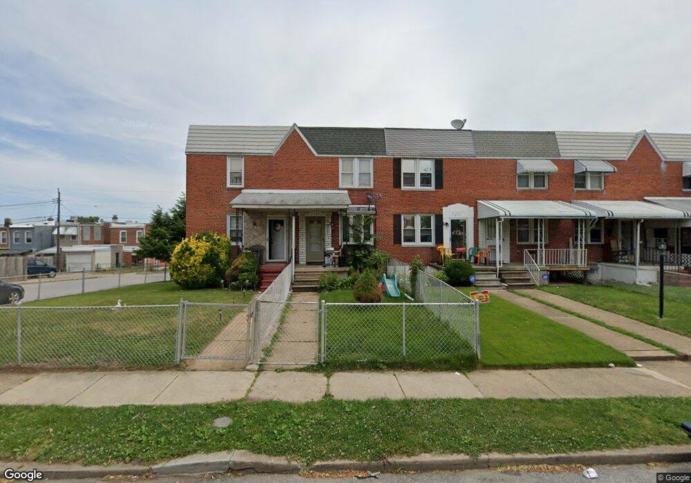
2003 Harman Ave Baltimore, MD 21230
Morrell Park NeighborhoodEstimated Value: $102,342 - $132,000
Studio
1
Bath
812
Sq Ft
$144/Sq Ft
Est. Value
About This Home
This home is located at 2003 Harman Ave, Baltimore, MD 21230 and is currently estimated at $117,171, approximately $144 per square foot. 2003 Harman Ave is a home located in Baltimore City with nearby schools including Morrell Park Elementary/Middle School, Booker T. Washington Middle School, and Digital Harbor High School.
Ownership History
Date
Name
Owned For
Owner Type
Purchase Details
Closed on
Jan 19, 2010
Sold by
Laou Friederiki
Bought by
Laou Maria
Current Estimated Value
Purchase Details
Closed on
Mar 4, 2005
Sold by
Conrad Robert P
Bought by
Laou Friederiki and Laou Maria
Purchase Details
Closed on
Feb 10, 2004
Sold by
Conrad Robert P
Bought by
Laou Friederiki and Laou Maria
Purchase Details
Closed on
Jan 28, 1998
Sold by
Santmyer Charles W
Bought by
Conrad Robert P
Create a Home Valuation Report for This Property
The Home Valuation Report is an in-depth analysis detailing your home's value as well as a comparison with similar homes in the area
Home Values in the Area
Average Home Value in this Area
Purchase History
| Date | Buyer | Sale Price | Title Company |
|---|---|---|---|
| Laou Maria | -- | -- | |
| Laou Friederiki | $74,000 | -- | |
| Laou Friederiki | $74,000 | -- | |
| Conrad Robert P | $56,000 | -- |
Source: Public Records
Tax History
| Year | Tax Paid | Tax Assessment Tax Assessment Total Assessment is a certain percentage of the fair market value that is determined by local assessors to be the total taxable value of land and additions on the property. | Land | Improvement |
|---|---|---|---|---|
| 2025 | $1,452 | $68,400 | -- | -- |
| 2024 | $1,452 | $61,800 | -- | -- |
| 2023 | $1,297 | $55,200 | $12,000 | $43,200 |
| 2022 | $1,303 | $55,200 | $12,000 | $43,200 |
| 2021 | $1,303 | $55,200 | $12,000 | $43,200 |
| 2020 | $1,182 | $50,100 | $12,000 | $38,100 |
| 2019 | $1,177 | $50,100 | $12,000 | $38,100 |
| 2018 | $1,182 | $50,100 | $12,000 | $38,100 |
| 2017 | $1,539 | $65,200 | $0 | $0 |
| 2016 | $2,913 | $65,200 | $0 | $0 |
| 2015 | $2,913 | $65,200 | $0 | $0 |
| 2014 | $2,913 | $81,300 | $0 | $0 |
Source: Public Records
Map
Nearby Homes
- 2006 Grinnalds Ave
- 1935 Grinnalds Ave
- 1933 Grinnalds Ave
- 1909 Harman Ave
- 2039 Grinnalds Ave
- 2453 Washington Blvd
- 1933 Griffis Ave
- 2506 Washington Blvd
- 2104 Whistler Ave
- 1918 Parksley Ave
- 0 Harman Ave
- 1704 Harman Ave
- 1707 Harman Ave
- 2315 Washington Blvd
- 1703 - 1707 1/2 Spence St
- 2000 Hollins Ferry Rd
- 1701 Spence St
- 1637 Spence St
- 2305 Herkimer St
- 2036 Deering Ave
- 2005 Harman Ave
- 2001 Harman Ave
- 2007 Harman Ave
- 2009 Harman Ave
- 2011 Harman Ave
- 2013 Harman Ave
- 2015 Harman Ave
- 1935 Harman Ave
- 2017 Harman Ave
- 2002 Grinnalds Ave
- 2004 Grinnalds Ave
- 2000 Grinnalds Ave
- 2019 Harman Ave
- 2008 Grinnalds Ave
- 1933 Harman Ave
- 2010 Grinnalds Ave
- 2021 Harman Ave
- 2012 Grinnalds Ave
- 1931 Harman Ave
- 1936 Grinnalds Ave
Your Personal Tour Guide
Ask me questions while you tour the home.