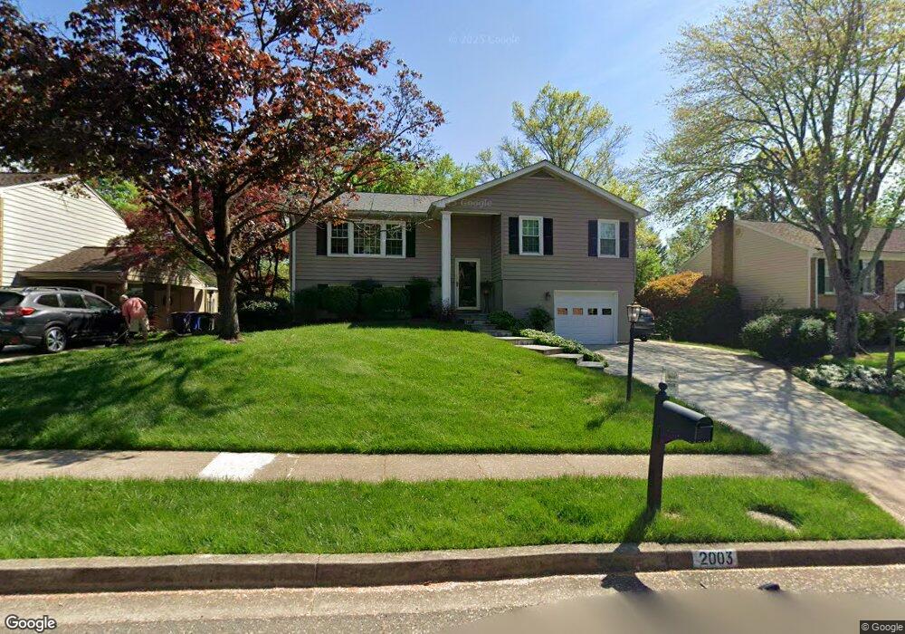
2003 Hoover Ln Alexandria, VA 22308
Fort Hunt NeighborhoodEstimated Value: $839,000 - $1,008,000
4
Beds
3
Baths
1,498
Sq Ft
$614/Sq Ft
Est. Value
About This Home
This home is located at 2003 Hoover Ln, Alexandria, VA 22308 and is currently estimated at $920,441, approximately $614 per square foot. 2003 Hoover Ln is a home located in Fairfax County with nearby schools including Fort Hunt Elementary School, Sandburg Middle, and West Potomac High School.
Ownership History
Date
Name
Owned For
Owner Type
Purchase Details
Closed on
Jul 12, 1999
Sold by
Early Stephen T
Bought by
Elam Helen E
Current Estimated Value
Home Financials for this Owner
Home Financials are based on the most recent Mortgage that was taken out on this home.
Original Mortgage
$215,600
Outstanding Balance
$59,581
Interest Rate
7.39%
Estimated Equity
$860,860
Create a Home Valuation Report for This Property
The Home Valuation Report is an in-depth analysis detailing your home's value as well as a comparison with similar homes in the area
Home Values in the Area
Average Home Value in this Area
Purchase History
| Date | Buyer | Sale Price | Title Company |
|---|---|---|---|
| Elam Helen E | $269,500 | -- |
Source: Public Records
Mortgage History
| Date | Status | Borrower | Loan Amount |
|---|---|---|---|
| Open | Elam Helen E | $215,600 |
Source: Public Records
Tax History Compared to Growth
Tax History
| Year | Tax Paid | Tax Assessment Tax Assessment Total Assessment is a certain percentage of the fair market value that is determined by local assessors to be the total taxable value of land and additions on the property. | Land | Improvement |
|---|---|---|---|---|
| 2025 | $9,476 | $806,870 | $343,000 | $463,870 |
| 2024 | $9,476 | $770,030 | $324,000 | $446,030 |
| 2023 | $9,335 | $783,820 | $324,000 | $459,820 |
| 2022 | $8,062 | $705,060 | $324,000 | $381,060 |
| 2021 | $7,798 | $630,440 | $290,000 | $340,440 |
| 2020 | $7,392 | $593,350 | $266,000 | $327,350 |
| 2019 | $7,274 | $582,110 | $258,000 | $324,110 |
| 2018 | $6,471 | $562,670 | $248,000 | $314,670 |
| 2017 | $6,878 | $562,670 | $248,000 | $314,670 |
| 2016 | $6,864 | $562,670 | $248,000 | $314,670 |
| 2015 | $6,620 | $562,310 | $248,000 | $314,310 |
| 2014 | $6,071 | $514,260 | $234,000 | $280,260 |
Source: Public Records
Map
Nearby Homes
- 8827 Camfield Dr
- 1902 Stirrup Ln
- 8628 Plymouth Rd
- 2308 Creek Dr
- 2401 Wittington Blvd
- 8620 Conover Place
- 2000 Volley Ct
- 8407 Brewster Dr
- 9016 Greylock St
- 8705 Stockton Pkwy
- 2008 Kenley Ct
- 8408 Conover Place
- 1704 Cool Spring Dr
- 2007 Cool Spring Dr
- 2408 William And Mary Dr
- 8260 Colling Manor Ct
- Hampton II Plan at Collingwood Chase
- 1103 Neal Dr
- 8305 Fort Hunt Rd
- 8281 Colling Manor Ct