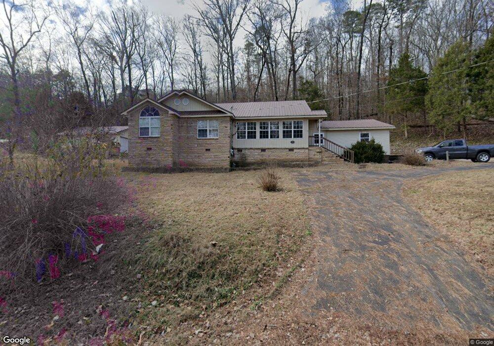
2003 Preston Island Cir Scottsboro, AL 35769
Estimated Value: $427,735 - $784,000
3
Beds
2
Baths
2,038
Sq Ft
$298/Sq Ft
Est. Value
About This Home
This home is located at 2003 Preston Island Cir, Scottsboro, AL 35769 and is currently estimated at $607,434, approximately $298 per square foot. 2003 Preston Island Cir is a home located in Marshall County with nearby schools including Kate Duncan Smith DAR Elementary School, Claysville Jr High School, and Kate Duncan Smith DAR Middle School.
Ownership History
Date
Name
Owned For
Owner Type
Purchase Details
Closed on
Nov 1, 2011
Sold by
Henson Waymon E and Henson Carrie Jo
Bought by
Henson Terry W and Mayhall Cathy E
Current Estimated Value
Create a Home Valuation Report for This Property
The Home Valuation Report is an in-depth analysis detailing your home's value as well as a comparison with similar homes in the area
Home Values in the Area
Average Home Value in this Area
Purchase History
| Date | Buyer | Sale Price | Title Company |
|---|---|---|---|
| Henson Terry W | $125,000 | None Available |
Source: Public Records
Tax History Compared to Growth
Tax History
| Year | Tax Paid | Tax Assessment Tax Assessment Total Assessment is a certain percentage of the fair market value that is determined by local assessors to be the total taxable value of land and additions on the property. | Land | Improvement |
|---|---|---|---|---|
| 2024 | $931 | $23,220 | $0 | $0 |
| 2023 | $931 | $23,220 | $0 | $0 |
| 2022 | $931 | $23,220 | $0 | $0 |
| 2021 | $931 | $23,220 | $0 | $0 |
| 2020 | $779 | $19,160 | $0 | $0 |
| 2017 | $1,511 | $38,700 | $0 | $0 |
| 2015 | -- | $18,480 | $0 | $0 |
| 2014 | -- | $18,120 | $0 | $0 |
Source: Public Records
Map
Nearby Homes
- 3159 Preston Island Cir
- 3151 Preston Island Cir
- 375 Adelines Way
- 1460 Holiday Shores Rd
- Lot 13 Shoreland Cir
- 624 Holiday Shores Rd
- 89 Lake Dr
- Lot 18 Atnip Dr
- 2152 Holiday Shores Rd
- Lot 72 Holiday Shores Rd
- 136 Atnip Dr
- 229 Lake Dr
- 67 Holiday Shores Rd
- 810 Pine Island Point
- 71 Majestic View Dr
- 231 Dolphin Point Dr
- 215 Wilson Rd
- Lot 32 Keene Point Dr
- Lot 10 Keene Point Dr
- 900 Menominee Rd
- 1955 Preston Island Cir
- 1994 Preston Island Cir
- 2026 Preston Island Cir
- 2557 Preston Island Cir
- 1964 Preston Island Cir
- 2494 Preston Island Cir
- 2066 Preston Island Cir
- 1950 Preston Island Cir
- 2411 Preston Island Cir
- 2117 Preston Island Cir
- 2380 Preston Island Cir
- 1861 Preston Island Cir
- 2120 Preston Island Cir
- 1868 Preston Island Cir
- 2156 Preston Island Cir
- 1826 Preston Island Cir
- 2355 Preston Island Cir
- 1845 Preston Island Cir
- 2180 Preston Island Cir
- 1790 Preston Island Cir