2003 S Towpath Rd Covington, IN 47932
Estimated Value: $108,872 - $178,000
Studio
1
Bath
1,040
Sq Ft
$142/Sq Ft
Est. Value
About This Home
This home is located at 2003 S Towpath Rd, Covington, IN 47932 and is currently estimated at $147,718, approximately $142 per square foot. 2003 S Towpath Rd is a home located in Fountain County with nearby schools including Covington Elementary School, Covington Middle School, and Covington Community High School.
Ownership History
Date
Name
Owned For
Owner Type
Purchase Details
Closed on
Jun 9, 2020
Sold by
Baker Penny
Bought by
Lawlyes Barry S
Current Estimated Value
Purchase Details
Closed on
Apr 6, 2018
Sold by
Baker Larry D and Baker Penny
Bought by
Baker Penny
Purchase Details
Closed on
Sep 4, 2015
Sold by
Stephens Michael F and Stephens Beth E
Bought by
Morton Gregory D and Morton Wendy S
Purchase Details
Closed on
Aug 26, 2015
Sold by
Baker Larry D and Baker Penny
Bought by
Stephens Michael F and Stephens Beth E
Create a Home Valuation Report for This Property
The Home Valuation Report is an in-depth analysis detailing your home's value as well as a comparison with similar homes in the area
Purchase History
| Date | Buyer | Sale Price | Title Company |
|---|---|---|---|
| Lawlyes Barry S | -- | None Available | |
| Baker Penny | -- | None Available | |
| Morton Gregory D | -- | Partners Title Group Inc | |
| Stephens Michael F | -- | Partners Title |
Source: Public Records
Tax History
| Year | Tax Paid | Tax Assessment Tax Assessment Total Assessment is a certain percentage of the fair market value that is determined by local assessors to be the total taxable value of land and additions on the property. | Land | Improvement |
|---|---|---|---|---|
| 2025 | $970 | $87,500 | $24,300 | $63,200 |
| 2024 | $970 | $79,700 | $21,300 | $58,400 |
| 2023 | $932 | $74,800 | $21,300 | $53,500 |
| 2022 | $552 | $42,800 | $16,500 | $26,300 |
| 2021 | $555 | $38,000 | $16,500 | $21,500 |
| 2020 | $550 | $35,500 | $14,600 | $20,900 |
| 2019 | $530 | $34,800 | $14,600 | $20,200 |
| 2018 | $490 | $32,300 | $14,600 | $17,700 |
| 2017 | $499 | $35,000 | $14,600 | $20,400 |
| 2016 | $444 | $33,200 | $14,600 | $18,600 |
| 2014 | $450 | $33,600 | $15,800 | $17,800 |
| 2013 | $450 | $33,600 | $15,800 | $17,800 |
Source: Public Records
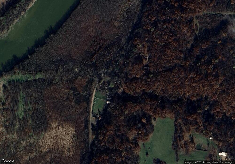
Map
Nearby Homes
- 0 Stringtown South Rd
- 3148 S Coffing Brothers Rd
- 9015 Indiana 63
- 1000 N 300 W
- C.R. N 1450 Rd
- 0 1000 N
- 1 1000 N
- 15092 W 200 S
- 7796 N Meridian Rd
- 2554 S Barker Rd
- 114 Red Oak Ln
- 0 N 100 St W Unit 108460
- 2540 Grubb Ln
- 2532 Grubb Ln
- 1608 S Layton Station Rd
- 1938 W
- 217 Eagle Dr
- 0 1000 N Unit LotWP001
- 0 S 280 W Unit MBR22081887
- 404 Eagle Dr
- 2015 S Towpath Rd
- 1965 S Towpath Rd
- 2033 S Towpath Rd
- 3238 W State Road 32
- 3202 W State Road 32
- 2099 S Towpath Rd
- 3246 W State Road 32
- 3179 W State Road 32
- 3160 W State Road 32
- 2111 S Silver Island Rd
- 1850 S Towpath Rd
- 1853 S Towpath Rd
- 3145 W State Road 32
- 3137 W State Road 32
- 3100 W State Road 32
- 3083 W State Road 32
- 1781 S Towpath Rd
- 3070 W State Road 32
- 1779 S Towpath Rd
- 1775 S Towpath Rd
Your Personal Tour Guide
Ask me questions while you tour the home.