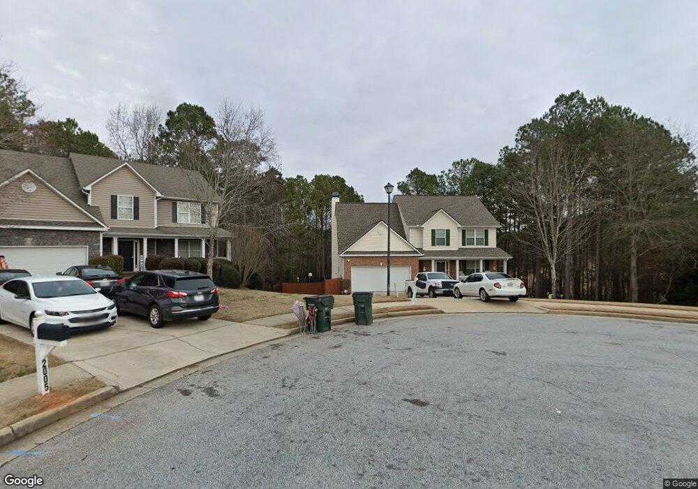
2003 Stone Walk Loganville, GA 30052
Walnut Grove NeighborhoodEstimated Value: $407,000 - $439,000
--
Bed
1
Bath
2,460
Sq Ft
$172/Sq Ft
Est. Value
About This Home
This home is located at 2003 Stone Walk, Loganville, GA 30052 and is currently estimated at $423,223, approximately $172 per square foot. 2003 Stone Walk is a home located in Walton County with nearby schools including Walnut Grove Elementary School, Youth Middle School, and Walnut Grove High School.
Ownership History
Date
Name
Owned For
Owner Type
Purchase Details
Closed on
Feb 14, 2006
Sold by
Meridian Hms Of Brookstone Llc
Bought by
Lake Michael B and Lake Pina S
Current Estimated Value
Home Financials for this Owner
Home Financials are based on the most recent Mortgage that was taken out on this home.
Original Mortgage
$198,483
Outstanding Balance
$111,340
Interest Rate
6.14%
Mortgage Type
FHA
Estimated Equity
$311,883
Create a Home Valuation Report for This Property
The Home Valuation Report is an in-depth analysis detailing your home's value as well as a comparison with similar homes in the area
Home Values in the Area
Average Home Value in this Area
Purchase History
| Date | Buyer | Sale Price | Title Company |
|---|---|---|---|
| Lake Michael B | $200,100 | -- |
Source: Public Records
Mortgage History
| Date | Status | Borrower | Loan Amount |
|---|---|---|---|
| Open | Lake Michael B | $198,483 |
Source: Public Records
Tax History Compared to Growth
Tax History
| Year | Tax Paid | Tax Assessment Tax Assessment Total Assessment is a certain percentage of the fair market value that is determined by local assessors to be the total taxable value of land and additions on the property. | Land | Improvement |
|---|---|---|---|---|
| 2024 | $3,530 | $158,400 | $26,000 | $132,400 |
| 2023 | $3,609 | $154,000 | $26,000 | $128,000 |
| 2022 | $3,281 | $125,400 | $20,000 | $105,400 |
| 2021 | $3,102 | $111,080 | $19,200 | $91,880 |
| 2020 | $2,789 | $92,760 | $14,000 | $78,760 |
| 2019 | $2,667 | $85,920 | $12,960 | $72,960 |
| 2018 | $2,631 | $85,920 | $12,960 | $72,960 |
| 2017 | $2,801 | $81,280 | $12,960 | $68,320 |
| 2016 | $2,498 | $77,560 | $12,960 | $64,600 |
| 2015 | $2,368 | $69,960 | $12,000 | $57,960 |
| 2014 | $2,170 | $62,400 | $0 | $0 |
Source: Public Records
Map
Nearby Homes
- 4983 Guthrie Cemetery Rd
- 468 Copper Ridge Dr
- 0 Emmett Still Rd Unit TRACT 04 20086873
- 1088 Cannon Farm Rd
- LOT 12 Guthrie Cemetery Rd
- LOT 13 Guthrie Cemetery Rd
- 5206 Guthrie Cemetery Rd
- 5380 Gum Creek Ct
- 4820 Old Highway 138
- 0 Emmett Still-Lot 4 Rd
- 4859 Highway 138
- 1393 Silver Thorne Ct
- 1006 Silver Thorne Dr
- 431 Greenhill Way
- 421 Greenhill Way
- 1030 Silver Thorne Dr
- 2361 Emerald Dr
- 1050 Silver Thorne Dr
- 1524 Guthrie Crossing Dr
- 1015 Carriage Way
- 2005 Stone Walk
- 2004 Stone Walk
- 0 Stone Walk
- 2001 Stone Walk
- 4919 Guthrie Cemetery Rd
- 2002 Stone Walk
- 1105 Brookstone Estates Dr
- 4915 Guthrie Cemetery Rd
- 400 Copper Ridge Dr
- 421 Copper Ridge Dr
- 1109 Brookstone Estates Dr
- 5005 Brookstone Ln
- 5009 Brookstone Ln
- 1100 Brookstone Estates Dr
- 4930 Guthrie Cemetery Rd
- 4909 Guthrie Cemetery Rd
- 5001 Brookstone Ln
- 5001 Brookstone Ln Unit 5001
- 5001 Brookstone Ln
- 5013 Brookstone Ln