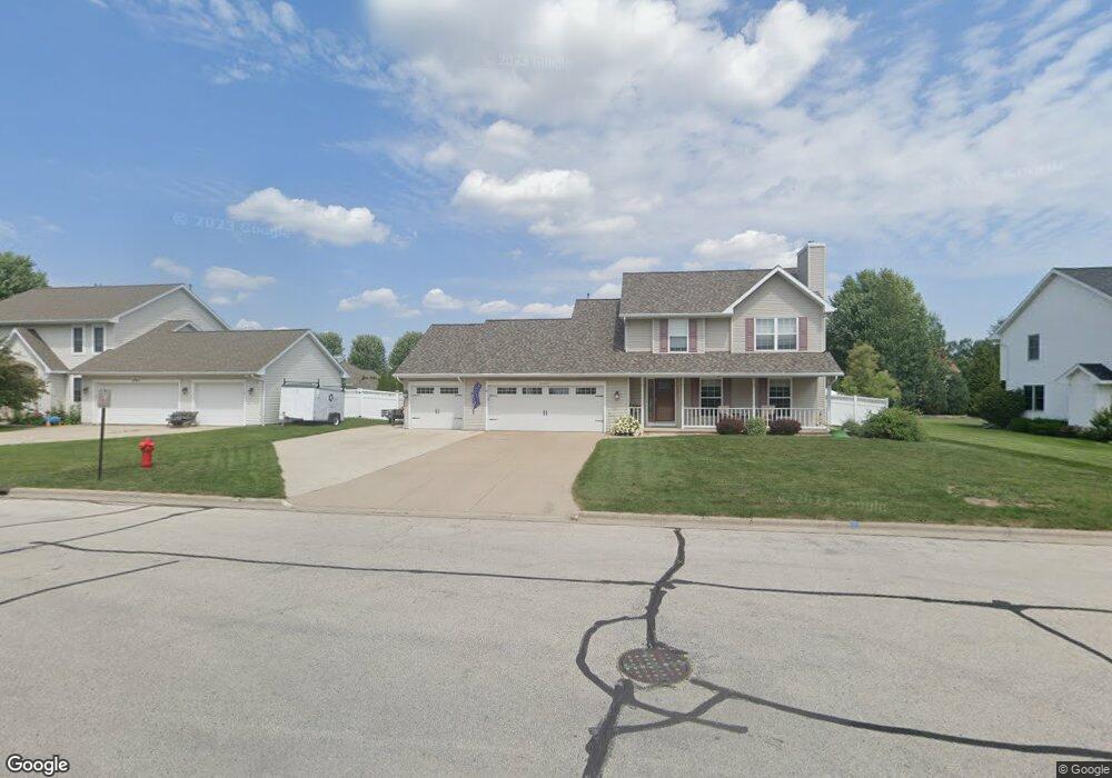
2003 Swanstone Cir de Pere, WI 54115
Estimated Value: $405,000 - $503,000
Studio
--
Bath
--
Sq Ft
0.33
Acres
About This Home
This home is located at 2003 Swanstone Cir, de Pere, WI 54115 and is currently estimated at $440,558. 2003 Swanstone Cir is a home located in Brown County with nearby schools including Heritage Elementary School, De Pere Middle School, and Foxview Intermediate School.
Ownership History
Date
Name
Owned For
Owner Type
Purchase Details
Closed on
Nov 14, 1997
Sold by
Detrie Properties Inc
Bought by
Anderson Kenneth E and Anderson Julie M
Current Estimated Value
Home Financials for this Owner
Home Financials are based on the most recent Mortgage that was taken out on this home.
Original Mortgage
$128,246
Outstanding Balance
$21,382
Interest Rate
7.46%
Estimated Equity
$419,176
Create a Home Valuation Report for This Property
The Home Valuation Report is an in-depth analysis detailing your home's value as well as a comparison with similar homes in the area
Home Values in the Area
Average Home Value in this Area
Purchase History
| Date | Buyer | Sale Price | Title Company |
|---|---|---|---|
| Anderson Kenneth E | $138,900 | -- |
Source: Public Records
Mortgage History
| Date | Status | Borrower | Loan Amount |
|---|---|---|---|
| Open | Anderson Kenneth E | $128,246 |
Source: Public Records
Tax History Compared to Growth
Tax History
| Year | Tax Paid | Tax Assessment Tax Assessment Total Assessment is a certain percentage of the fair market value that is determined by local assessors to be the total taxable value of land and additions on the property. | Land | Improvement |
|---|---|---|---|---|
| 2024 | $4,694 | $319,000 | $57,400 | $261,600 |
| 2023 | $4,182 | $319,000 | $57,400 | $261,600 |
| 2022 | $3,822 | $319,000 | $57,400 | $261,600 |
| 2021 | $3,568 | $231,900 | $47,800 | $184,100 |
| 2020 | $3,536 | $231,900 | $47,800 | $184,100 |
| 2019 | $3,795 | $231,900 | $47,800 | $184,100 |
Source: Public Records
Map
Nearby Homes
- 1653 Remington Ridge Way Unit 1653
- 1655 Remington Ridge Way Unit 1655
- 1658 Remington Ridge Way Unit 1658
- 1871 Ledgeview Rd
- 1724 Remington Ridge Way Unit 1724
- 1853 Swan Rd
- 3910 Monroe Rd
- 0 S Broadway St
- 1764 O'Hearn Ln
- 1764 Other
- 2200 Dickinson Rd
- 3980 N Parker Way
- 2188 Trellis Dr
- 124 Shelley Ln
- 1960 Charles St
- 737 Desplaine Rd
- 801 S Erie St
- 1861 Chicago St
- 630 Brule Rd Unit 11
- 318 S Webster Ave
- 2009 Swanstone Cir
- 1997 Swanstone Cir
- 1942 Paint Horse Trail
- 1934 Paint Horse Trail
- 1950 Paint Horse Trail
- 1991 Swanstone Cir
- 2015 Swanstone Cir
- 1926 Paint Horse Trail
- 1260 Swan Ridge Trail
- 1263 Swan Ridge Trail
- 1958 Paint Horse Trail
- 1985 Swanstone Cir
- 2014 Swanstone Cir
- 2021 Swanstone Cir
- 1918 Paint Horse Trail
- 1966 Paint Horse Trail
- 1984 Swanstone Cir
- 1280 Swan Ridge Trail
- 2020 Swanstone Cir
- 1951 Paint Horse Trail