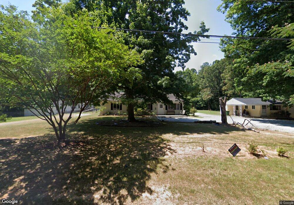
2003 Us Highway 70a E Hillsborough, NC 27278
Estimated Value: $313,450 - $398,000
3
Beds
1
Bath
1,440
Sq Ft
$244/Sq Ft
Est. Value
About This Home
This home is located at 2003 Us Highway 70a E, Hillsborough, NC 27278 and is currently estimated at $350,863, approximately $243 per square foot. 2003 Us Highway 70a E is a home located in Orange County with nearby schools including River Park Elementary School, A.L. Stanback Middle School, and Cedar Ridge High.
Ownership History
Date
Name
Owned For
Owner Type
Purchase Details
Closed on
Sep 11, 2019
Sold by
Sunny Side Of Hillsborough Llc
Bought by
Sherman Properties Llc
Current Estimated Value
Purchase Details
Closed on
Oct 30, 2001
Sold by
Freeland Maxine H
Bought by
Sunnyside Of Hillsborough Llc
Purchase Details
Closed on
Oct 10, 2001
Sold by
Freeland Donna L
Bought by
Freeland Maxine H
Create a Home Valuation Report for This Property
The Home Valuation Report is an in-depth analysis detailing your home's value as well as a comparison with similar homes in the area
Home Values in the Area
Average Home Value in this Area
Purchase History
| Date | Buyer | Sale Price | Title Company |
|---|---|---|---|
| Sherman Properties Llc | $210,000 | None Available | |
| Sunnyside Of Hillsborough Llc | -- | -- | |
| Freeland Maxine H | $85,000 | -- |
Source: Public Records
Tax History Compared to Growth
Tax History
| Year | Tax Paid | Tax Assessment Tax Assessment Total Assessment is a certain percentage of the fair market value that is determined by local assessors to be the total taxable value of land and additions on the property. | Land | Improvement |
|---|---|---|---|---|
| 2025 | $3,175 | $396,900 | $138,000 | $258,900 |
| 2024 | $2,334 | $210,500 | $10,000 | $200,500 |
| 2023 | $2,263 | $210,500 | $10,000 | $200,500 |
| 2022 | $2,233 | $210,500 | $10,000 | $200,500 |
| 2021 | $2,207 | $210,500 | $10,000 | $200,500 |
| 2020 | $2,094 | $188,000 | $10,000 | $178,000 |
| 2018 | $2,035 | $188,000 | $10,000 | $178,000 |
| 2017 | $1,804 | $188,000 | $10,000 | $178,000 |
| 2016 | $1,804 | $165,381 | $35,065 | $130,316 |
| 2015 | $1,804 | $165,381 | $35,065 | $130,316 |
| 2014 | $1,748 | $165,381 | $35,065 | $130,316 |
Source: Public Records
Map
Nearby Homes
- 2086 Kelsey Ct
- 2069 Kelsey Ct
- 2037 Kelsey Ct
- 2022 Kelsey Ct
- 2038 Kelsey Ct
- BALLENTINE Plan at Williams Glen
- KENDALL Plan at Williams Glen
- CHANLEY Plan at Williams Glen
- KAYLEEN Plan at Williams Glen
- SEBASTIAN Plan at Williams Glen
- VANDERBURGH Plan at Williams Glen
- BUCHANAN Plan at Williams Glen
- PARKETTE Plan at Williams Glen
- 1914 Adams Place
- 0 Magnificent Trail
- 2202 Wyngate Dr
- 2302 Old Forest Dr
- 1309 Boxwood Trace Ln
- 1606 Spring Overlook Ln
- 1502 Spring Overlook Ln
- 2003 Us 70a
- 2001 & 2003 Us 70a Hwy
- 2001 Us Highway 70a E
- 2007 Us Highway 70a E
- 2002 Us Highway 70a E
- 2002 Us 70a
- 2002 U S Highway 70a
- 2017 Us Highway 70a E
- 2017 Us Highway 70a E
- 2017 E Us 70a Hwy
- 1918 Us Highway 70a E
- 1910 Us Highway 70a E
- 2101 E Us 70a Hwy
- 2101 U S Highway 70a
- 2101 Us Highway 70a E
- 1907 Us Highway 70a E
- 1900 Us Highway 70a E
- 1821 Us Highway 70a E
- 1821 Us Highway 70a E
- 1713 Highwoods Loop Unit 35