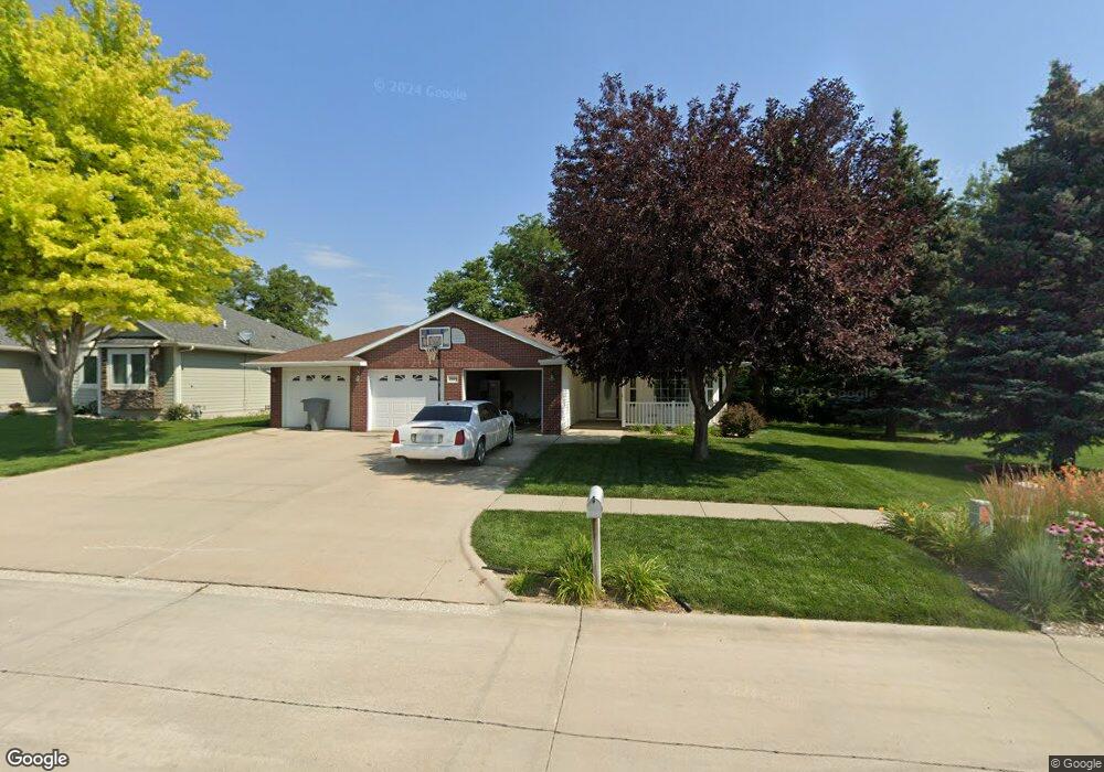
2004 Alaska Ave Norfolk, NE 68701
Estimated Value: $292,000 - $425,000
3
Beds
2
Baths
1,704
Sq Ft
$221/Sq Ft
Est. Value
About This Home
This home is located at 2004 Alaska Ave, Norfolk, NE 68701 and is currently estimated at $376,556, approximately $220 per square foot. 2004 Alaska Ave is a home located in Madison County with nearby schools including Norfolk Senior High School, St. Paul's Lutheran School, and Lutheran High School Northeast.
Ownership History
Date
Name
Owned For
Owner Type
Purchase Details
Closed on
Jul 11, 2007
Sold by
Baer Gary A and Baer Pamela J
Bought by
Leuthold Garret and Leuthold Bobbi
Current Estimated Value
Home Financials for this Owner
Home Financials are based on the most recent Mortgage that was taken out on this home.
Original Mortgage
$170,000
Outstanding Balance
$106,477
Interest Rate
6.54%
Mortgage Type
New Conventional
Estimated Equity
$270,079
Create a Home Valuation Report for This Property
The Home Valuation Report is an in-depth analysis detailing your home's value as well as a comparison with similar homes in the area
Home Values in the Area
Average Home Value in this Area
Purchase History
| Date | Buyer | Sale Price | Title Company |
|---|---|---|---|
| Leuthold Garret | $228,000 | None Available |
Source: Public Records
Mortgage History
| Date | Status | Borrower | Loan Amount |
|---|---|---|---|
| Open | Leuthold Garret | $170,000 |
Source: Public Records
Tax History Compared to Growth
Tax History
| Year | Tax Paid | Tax Assessment Tax Assessment Total Assessment is a certain percentage of the fair market value that is determined by local assessors to be the total taxable value of land and additions on the property. | Land | Improvement |
|---|---|---|---|---|
| 2024 | $3,957 | $320,686 | $34,445 | $286,241 |
| 2023 | $5,629 | $304,484 | $34,445 | $270,039 |
| 2022 | $5,273 | $284,481 | $34,445 | $250,036 |
| 2021 | $4,881 | $263,836 | $34,445 | $229,391 |
| 2020 | $4,866 | $263,836 | $34,445 | $229,391 |
| 2019 | $4,715 | $246,844 | $34,445 | $212,399 |
| 2018 | $4,485 | $238,754 | $34,445 | $204,309 |
| 2017 | $4,186 | $222,569 | $34,445 | $188,124 |
| 2016 | $4,194 | $222,569 | $34,445 | $188,124 |
| 2015 | $4,195 | $222,569 | $34,445 | $188,124 |
| 2014 | $4,052 | $208,715 | $26,040 | $182,675 |
| 2013 | $3,943 | $196,764 | $26,040 | $170,724 |
Source: Public Records
Map
Nearby Homes
- 2001 Alaska Ave
- 2116 Sheridan Dr
- 1601 Sheridan Dr
- 1704 Homewood Dr
- 1706 Homewood Dr Unit 2114 Collegeview
- 1603 Charolais Dr
- 1506 Charolais Dr
- 2206 Elmers Ln
- 1508 Homewood Dr
- 1415 Charolais Dr
- 802 Ferguson Dr
- 1309 Galeta Ave
- 1705 Syracuse Ave
- 1306 Hillview Dr
- 1407 Homewood Dr
- 1400 Charolais Dr
- 2201 N 26th St
- 2304 Highland Dr
- 2202 N 26th St
- 1705 W Berry Hill Dr
- 2006 Alaska Ave
- 2006 Alaska Dr
- 2008 Alaska Ave
- 2104 Sheridan Dr
- 2105 Sheridan Dr
- 2000 Alaska Ave
- 2106 Sheridan Dr
- 2102 Sheridan Dr
- 2108 Sheridan Dr
- 1904 Alaska Ave
- 1903 Hillview Dr
- 2107 Sheridan Dr
- 2103 Sheridan Dr
- 2215 Sheridan Dr
- 2100 Sheridan Dr
- 1903 Alaska Ave
- 1901 Hillview Dr
- 2110 Sheridan Dr
- 2109 Sheridan Dr
- 1902 Alaska Ave