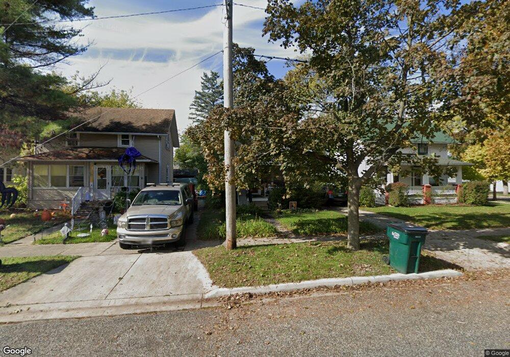
2004 Beal Ave Lansing, MI 48910
Greencroft Park NeighborhoodEstimated Value: $81,055 - $102,000
Studio
--
Bath
788
Sq Ft
$116/Sq Ft
Est. Value
About This Home
This home is located at 2004 Beal Ave, Lansing, MI 48910 and is currently estimated at $91,264, approximately $115 per square foot. 2004 Beal Ave is a home located in Ingham County with nearby schools including Averill Elementary School, Attwood School, and J.W. Sexton High School.
Ownership History
Date
Name
Owned For
Owner Type
Purchase Details
Closed on
Nov 26, 2003
Sold by
Holoway Robert E and Holoway Robert P
Bought by
Newhouse Helen J
Current Estimated Value
Home Financials for this Owner
Home Financials are based on the most recent Mortgage that was taken out on this home.
Original Mortgage
$75,190
Interest Rate
5.91%
Mortgage Type
Purchase Money Mortgage
Purchase Details
Closed on
Dec 16, 2002
Sold by
Holoway Robert P and Holoway Lynne M
Bought by
Holoway Robert E
Home Financials for this Owner
Home Financials are based on the most recent Mortgage that was taken out on this home.
Original Mortgage
$55,500
Interest Rate
6.3%
Mortgage Type
Purchase Money Mortgage
Create a Home Valuation Report for This Property
The Home Valuation Report is an in-depth analysis detailing your home's value as well as a comparison with similar homes in the area
Home Values in the Area
Average Home Value in this Area
Purchase History
We collect this data history from publicly available records. To have your information removed, we recommend requesting removal directly through your county’s website.
| Date | Buyer | Sale Price | Title Company |
|---|---|---|---|
| Newhouse Helen J | $73,000 | -- | |
| Holoway Robert E | -- | Professional Title |
Source: Public Records
Mortgage History
We collect this data history from publicly available records. To have your information removed, we recommend requesting removal directly through your county’s website.
| Date | Status | Borrower | Loan Amount |
|---|---|---|---|
| Previous Owner | Newhouse Helen J | $75,190 | |
| Previous Owner | Holoway Robert E | $55,500 |
Source: Public Records
Tax History
| Year | Tax Paid | Tax Assessment Tax Assessment Total Assessment is a certain percentage of the fair market value that is determined by local assessors to be the total taxable value of land and additions on the property. | Land | Improvement |
|---|---|---|---|---|
| 2025 | $2,119 | $38,600 | $3,400 | $35,200 |
| 2024 | $16 | $36,900 | $3,400 | $33,500 |
| 2023 | $1,988 | $33,600 | $3,400 | $30,200 |
| 2022 | $1,795 | $31,300 | $4,700 | $26,600 |
| 2021 | $1,758 | $28,400 | $4,100 | $24,300 |
| 2020 | $1,747 | $27,400 | $4,100 | $23,300 |
| 2019 | $1,676 | $26,800 | $4,100 | $22,700 |
| 2018 | $1,585 | $26,900 | $4,100 | $22,800 |
| 2017 | $1,517 | $26,900 | $4,100 | $22,800 |
| 2016 | $1,462 | $26,400 | $4,100 | $22,300 |
| 2015 | $1,462 | $25,600 | $8,271 | $17,329 |
| 2014 | $1,462 | $25,400 | $4,652 | $20,748 |
Source: Public Records
Map
Nearby Homes
- 712 Lenore Ave
- 612 W Mount Hope Ave
- 1824 S Rundle Ave
- 1823 Delevan Ave
- 2313 S Rundle Ave
- 516 Smith Ave
- 815 Woodbine Ave
- 2421 S Rundle Ave
- 1728 Davis Ave
- 1125 Poxson Ave
- 1116 George St
- 1209 W Mount Hope Ave
- 1816 Todd Ave
- 1033 Kelsey Ave
- 1208 Gordon Ave
- 1312 W Mount Hope Ave
- 1027 Britten Ave
- 211 W Barnes Ave
- 2226 Strathmore Rd
- 2533 S Washington Ave
- 710 Lenore Ave
- 716 Lenore Ave
- 1918 Beal Ave
- 1916 Beal Ave
- 1921 S Rundle Ave
- 1912 Beal Ave
- 1917 S Rundle Ave
- 713 Lenore Ave
- 2000 Beal Ave
- 2001 S Rundle Ave
- 711 Lenore Ave
- 709 W Mount Hope Ave
- 2005 S Rundle Ave
- 713 W Mount Hope Ave
- 701 W Mount Hope Ave
- 725 W Mount Hope Ave
- 2008 Beal Ave
- 2009 S Rundle Ave
- 2010 Beal Ave
- 712 Cooper Ave
Your Personal Tour Guide
Ask me questions while you tour the home.