2004 Carlisle Hwy Charlotte, MI 48813
Estimated Value: $263,000 - $286,000
2
Beds
1
Bath
1,492
Sq Ft
$184/Sq Ft
Est. Value
About This Home
This home is located at 2004 Carlisle Hwy, Charlotte, MI 48813 and is currently estimated at $274,312, approximately $183 per square foot. 2004 Carlisle Hwy is a home located in Eaton County with nearby schools including Washington Elementary School, Charlotte Middle School, and Charlotte Upper Elementary School.
Ownership History
Date
Name
Owned For
Owner Type
Purchase Details
Closed on
Mar 31, 2015
Sold by
Stokes Randal L and Stokes Margaret Emily
Bought by
Stokes Randal L and Stokes Margaret Emily
Current Estimated Value
Purchase Details
Closed on
Oct 9, 2013
Sold by
Stokes Randal L
Bought by
Stokes Randal L and Stokes Margaret Emily
Home Financials for this Owner
Home Financials are based on the most recent Mortgage that was taken out on this home.
Original Mortgage
$104,802
Interest Rate
4.25%
Mortgage Type
FHA
Purchase Details
Closed on
Oct 9, 2010
Sold by
Stokes Renee L and Stokes Randal L
Bought by
Stokes Randal L and Stokes Renee L
Home Financials for this Owner
Home Financials are based on the most recent Mortgage that was taken out on this home.
Original Mortgage
$75,204
Interest Rate
3.74%
Mortgage Type
New Conventional
Create a Home Valuation Report for This Property
The Home Valuation Report is an in-depth analysis detailing your home's value as well as a comparison with similar homes in the area
Home Values in the Area
Average Home Value in this Area
Purchase History
| Date | Buyer | Sale Price | Title Company |
|---|---|---|---|
| Stokes Randal L | -- | None Available | |
| Stokes Randal L | -- | Diversified National Title | |
| Stokes Randal L | -- | Diversified National Title | |
| Stokes Randal L | -- | Michigan Bankers Title Of Mi |
Source: Public Records
Mortgage History
| Date | Status | Borrower | Loan Amount |
|---|---|---|---|
| Closed | Stokes Randal L | $104,802 | |
| Closed | Stokes Randal L | $75,204 |
Source: Public Records
Tax History Compared to Growth
Tax History
| Year | Tax Paid | Tax Assessment Tax Assessment Total Assessment is a certain percentage of the fair market value that is determined by local assessors to be the total taxable value of land and additions on the property. | Land | Improvement |
|---|---|---|---|---|
| 2025 | $3,072 | $139,990 | $0 | $0 |
| 2024 | $946 | $137,630 | $0 | $0 |
| 2023 | $901 | $112,970 | $0 | $0 |
| 2022 | $2,272 | $108,310 | $0 | $0 |
| 2021 | $2,161 | $103,430 | $0 | $0 |
| 2020 | $2,136 | $94,900 | $0 | $0 |
| 2019 | $2,106 | $87,700 | $0 | $0 |
| 2018 | $2,071 | $78,609 | $0 | $0 |
| 2017 | $1,984 | $76,529 | $0 | $0 |
| 2016 | -- | $74,179 | $0 | $0 |
| 2015 | -- | $70,985 | $0 | $0 |
| 2014 | -- | $66,042 | $0 | $0 |
| 2013 | -- | $66,340 | $0 | $0 |
Source: Public Records
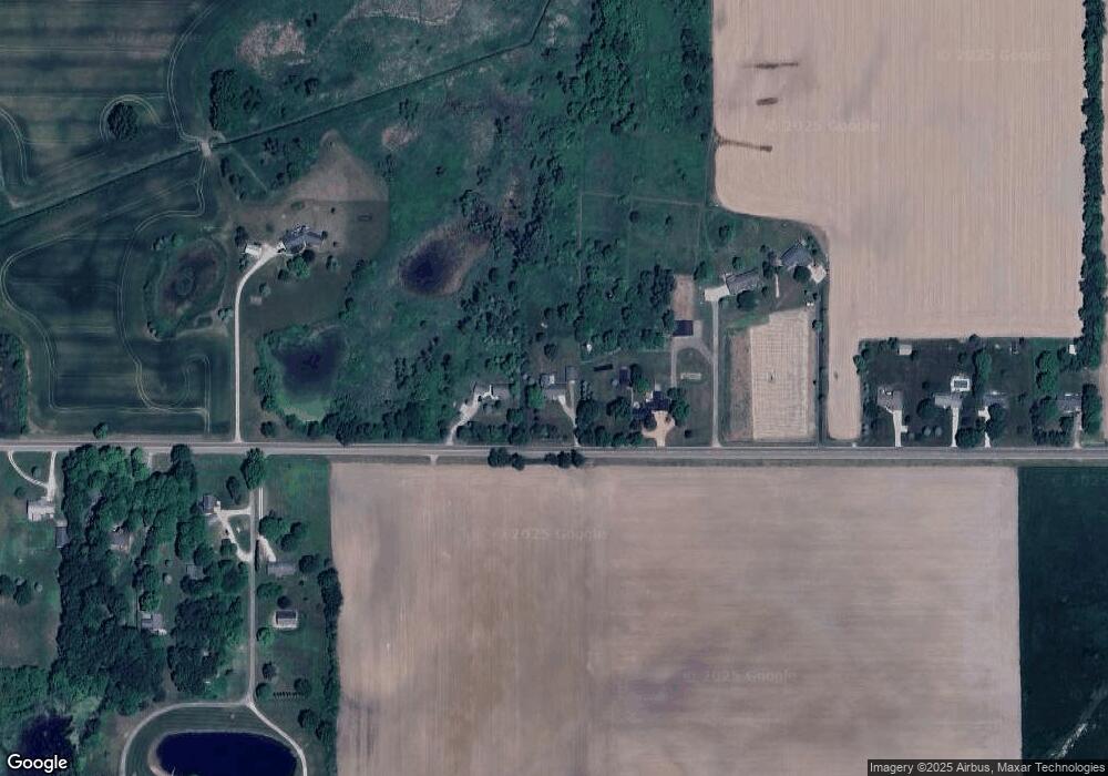
Map
Nearby Homes
- 827 Walnut St
- 1272 W Lawrence Hwy
- 757 W Shepherd St
- 738 W Shepherd St
- 1178 Kristina Dr
- 509 W 3rd St
- 955 Emerald Dr Unit 35
- 525 N Wheaton Rd
- 717 Katies Way
- 315 W Henry St
- 308 S Sheldon St
- 208 W 1st St
- 113 S Clinton St
- 601 S Cochran Ave
- 206 W Harris St
- 0 Parcel A Pinebluff Dr Unit 257983
- 0 Pinebluff Dr Unit 265338
- 717 High St
- 0 Pinebluff Dr Parcel O Unit 258041
- 340 Horatio St
- 2030 Carlisle Hwy
- 1972 Carlisle Hwy
- 1924 Carlisle Hwy
- 1896 Carlisle Hwy
- 2140 Carlisle Hwy
- 2151 Carlisle Hwy
- 1860 Carlisle Hwy
- 2185 Carlisle Hwy
- 1830 Carlisle Hwy
- 2279 Carlisle Hwy
- 2233 Carlisle Hwy
- 1820 Carlisle Hwy
- 1786 Carlisle Hwy
- 2315 Carlisle Hwy
- 1245 Delnora Dr
- 1180 Delnora Dr
- 2415 Carlisle Hwy
- 1676 Carlisle Hwy
- 1667 Carlisle Hwy
- 2440 Carlisle Hwy