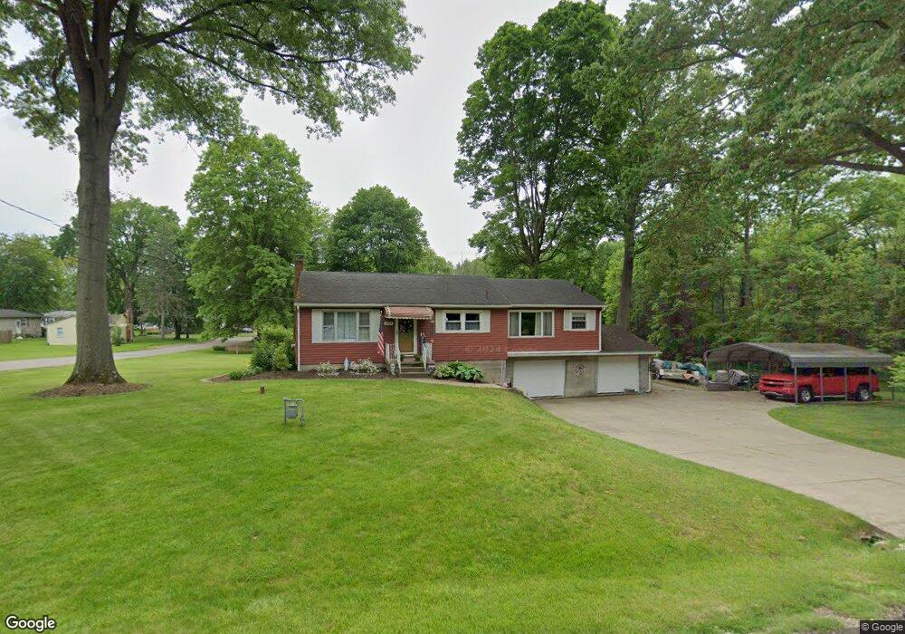
2004 Caroline Ave Norton, OH 44203
North Barberton NeighborhoodEstimated Value: $165,352 - $190,000
3
Beds
2
Baths
1,182
Sq Ft
$149/Sq Ft
Est. Value
About This Home
This home is located at 2004 Caroline Ave, Norton, OH 44203 and is currently estimated at $176,588, approximately $149 per square foot. 2004 Caroline Ave is a home located in Summit County with nearby schools including Barberton Middle School, Barberton Intermediate School 3-5, and Barberton High School.
Ownership History
Date
Name
Owned For
Owner Type
Purchase Details
Closed on
Jun 27, 1996
Sold by
Wagner John D
Bought by
Toke Andrew C and Toke Laura A
Current Estimated Value
Home Financials for this Owner
Home Financials are based on the most recent Mortgage that was taken out on this home.
Original Mortgage
$86,800
Outstanding Balance
$6,214
Interest Rate
8.13%
Mortgage Type
New Conventional
Estimated Equity
$170,374
Create a Home Valuation Report for This Property
The Home Valuation Report is an in-depth analysis detailing your home's value as well as a comparison with similar homes in the area
Home Values in the Area
Average Home Value in this Area
Purchase History
| Date | Buyer | Sale Price | Title Company |
|---|---|---|---|
| Toke Andrew C | $108,500 | -- |
Source: Public Records
Mortgage History
| Date | Status | Borrower | Loan Amount |
|---|---|---|---|
| Open | Toke Andrew C | $86,800 |
Source: Public Records
Tax History Compared to Growth
Tax History
| Year | Tax Paid | Tax Assessment Tax Assessment Total Assessment is a certain percentage of the fair market value that is determined by local assessors to be the total taxable value of land and additions on the property. | Land | Improvement |
|---|---|---|---|---|
| 2025 | $2,351 | $43,383 | $10,906 | $32,477 |
| 2024 | $2,351 | $43,383 | $10,906 | $32,477 |
| 2023 | $2,351 | $43,383 | $10,906 | $32,477 |
| 2022 | $1,767 | $27,906 | $6,993 | $20,913 |
| 2021 | $1,767 | $27,906 | $6,993 | $20,913 |
| 2020 | $1,666 | $27,900 | $6,990 | $20,910 |
| 2019 | $2,344 | $35,290 | $6,530 | $28,760 |
| 2018 | $2,310 | $35,290 | $6,530 | $28,760 |
| 2017 | $2,272 | $35,290 | $6,530 | $28,760 |
| 2016 | $2,277 | $34,090 | $6,530 | $27,560 |
| 2015 | $2,272 | $34,090 | $6,530 | $27,560 |
| 2014 | $2,261 | $34,090 | $6,530 | $27,560 |
| 2013 | $2,303 | $35,910 | $6,530 | $29,380 |
Source: Public Records
Map
Nearby Homes
- 250 Evergreen St
- 1960 Newton St
- 213 Hermann St
- 1924 Caroline Ave
- 146 Hermann St
- 137 Hermann St
- 818 N Summit St
- 103 Mitchell St
- 690 Saint Clair Ave
- 645 Madison Ave
- 30 W Hiram St
- 636 Wesleyan Ave
- 1515 Grand Blvd
- 217 W Summit St
- 44 W Summit St
- 143 Glenn St
- 553 Princeton Ave
- 0 Romig Ave
- 746 Wooster Rd N Unit 750
- 117 Fernwood Ave
- 271 Evergreen St
- 921 Madison Ave
- 253 Evergreen St
- 249 Evergreen St
- 245 Evergreen St
- 2000 Newton St
- 235 Evergreen St
- 1974 Caroline Ave
- 1973 Caroline Ave
- 892 Madison Ave
- 1986 Newton St
- 1986 Newton St
- 893 Madison Ave
- 233 Evergreen St
- 244 Evergreen St
- 231 Evergreen St
- 240 Evergreen St
- 234 Evergreen St
- 261 Hermann St
- 1999 Newton St